Castlemaine
Local name: Caisleán na Mainge
Located in County Kerry, Munster Coordinates: 52°10′00″ N 9°42′00″ W
- Population
- 176
- 176
- Elevation
- 2 m
- above sea level
- Local time
- UTC+00:00
- Europe/Dublin · UTC+00:00
About Castlemaine
Castlemaine is a village. Location: County Kerry, Munster. Population: 176. Elevation: 2 m.
Castlemaine (Irish: Caisleán na Mainge, meaning 'castle of An Mhaing/River Maine') is a village in County Kerry, Ireland. 11 km south of Tralee (16 km by road), it is by the River Maine and is on the N70 road.
Read more on Wikipedia Text: Wikipedia contributors · CC BY-SA 4.0 · shortened
In comparison
- No. 44 of 50 places in County Kerry by population
- Nearest larger town: Milltown, 2 km SW
- 27 sights and natural places within 10 km Killaclohane Wood, Tralia River
Nearby attractions & nature
Everything nearby-
Killaclohane Wood Natural site, County Kerry1.8 km SE
-
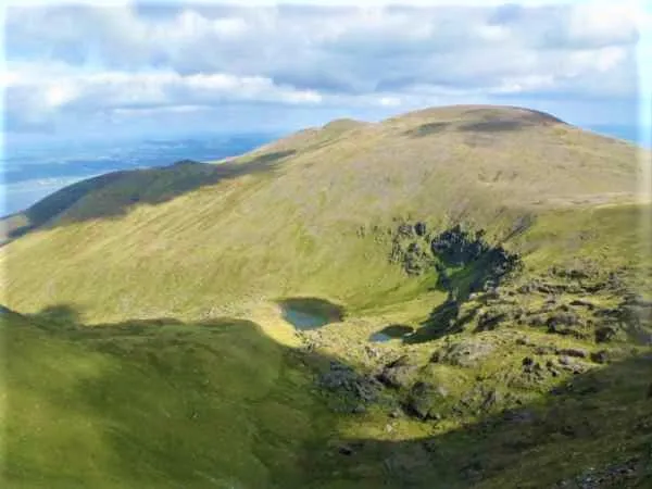 Slieve Mish Mountains Mountain, County Kerry5.9 km NW
-
Dromin Hill Mountain, County Kerry6.7 km SW
-
Tralia River River, County Kerry3.5 km E
-
Knockmichael Mountain Mountain, County Kerry7.1 km N
-
Shanahill Mountain, County Kerry7.2 km W
Sources & licences
Data last updated: · 2 independent sources