Castleisland Castle
Located in County Kerry, Munster Coordinates: 52°13′46″ N 9°27′57″ W
- Local time
- UTC+00:00
- Europe/Dublin · UTC+00:00
- Elevation
- 29 m
- above sea level
About Castleisland Castle
Castleisland Castle is a historic site. Location: County Kerry, Munster.
In comparison
- 21 sights and natural places within 10 km Glanshearoon River, Saints Stephen and John Parish Church
Nearby attractions & nature
Everything nearby-
Saints Stephen and John Parish Church Attraction, County Kerry0.3 km E
-
Herbert Bridge Landmark, County Kerry0.4 km SW
-
Glanshearoon River River, County Kerry0.2 km E
-
Shanowen River River, County Kerry0.9 km E
-
Barna Wood Natural site, County Kerry3.4 km NE
-
Dooneen Wood Natural site, County Kerry3.5 km N
-
Tonbaun Wood Natural site, County Kerry3.6 km NE
-
Knockakin Mountain, County Kerry5 km NE
Nearest towns and villages
-
Castleisland Village, County Kerry0.5 km N
-
Cloonagh Bridge Village, County Kerry1.3 km N
-
Kilcow Village, County Kerry2.2 km SW
-
Fieries Village, County Kerry3.4 km SE
More sights in County Kerry
-
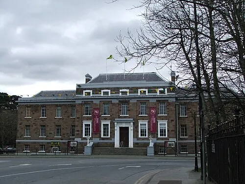 Kerry County Museum Museum, County Kerry17 km W
-
Molahiffe Castle Historic site, County Kerry10 km SW
-
Maine Bridge Landmark, County Kerry12 km SW
-
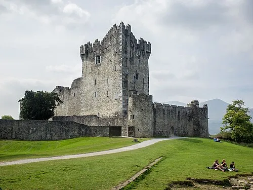 Ross Castle Historic site, County Kerry21 km S
-
Dooneen Bridge Landmark, County Kerry12 km S
-
Gweestin Bridge Landmark, County Kerry14 km SW
Sources & licences
Data last updated: