Garrigery
Located in County Kerry, Munster Coordinates: 51°53′40″ N 9°18′48″ W
- Elevation
- 413 m
- above sea level
- Local time
- UTC+00:00
- Europe/Dublin · UTC+00:00
About Garrigery
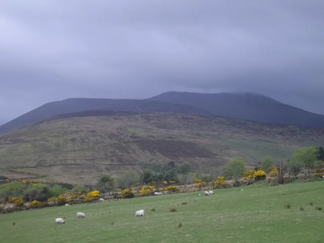
Garrigery is a mountain. Location: County Kerry, Munster. Elevation: 413 m.
In comparison
- No. 748 of 2106 mountains in Ireland by elevation
- 44 sights and natural places within 10 km An Leaca Bhan, Coom Wood
Nearest towns and villages
-
Lackabaun Village, County Kerry1.5 km S
-
Inchec Bridge Village, County Kerry2.5 km NW
-
Lyrenageeha Village, County Cork3.2 km SE
-
Gortnaloughra Village, County Cork4.2 km S
-
Fuhiry Village, County Cork4.4 km E
-
Ballingeary Village, County Cork7.4 km SE
Nearby attractions & nature
Everything nearby-
An Leaca Bhan Mountain, County Cork2 km SE
-
Foilgreana Mountain, County Kerry2.7 km NW
-
Coom Wood Natural site, Ireland2.4 km NE
-
Mweelin Mountain, County Cork3.3 km E
-
Coomataggart Mountain, County Cork3.3 km S
-
An Coimin Bui Mountain, County Cork2.9 km NE
-
Lough Nabuddoga Lake, County Kerry3.2 km NW
-
Carran Far North East Top Mountain, County Kerry4.2 km SW
More nature in Ireland
-
Freaghanagh Mountain, County Kerry6.9 km NW
-
Com an tSagairt (mullach thiar theas) Mountain, County Kerry4.3 km S
-
 Derrynasaggart Mountains Mountain, County Kerry11 km NE
-
Carran Far North Top Mountain, County Kerry4.5 km SW
-
Barnastooka Mountain, County Kerry4.9 km W
-
Knockantooreen Mountain, County Kerry7.7 km SW
Sources & licences
Data last updated: · 2 independent sources