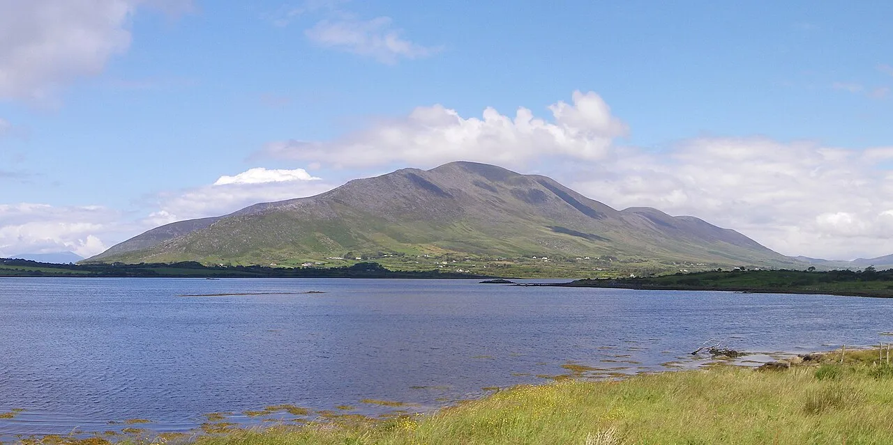
Knocknadobar
Local name: Cnoc na dTobar
Located in County Kerry, Munster Coordinates: 51°59′35″ N 10°10′30″ W
- Elevation
- 690 m
- above sea level
- Local time
- UTC+00:00
- Europe/Dublin · UTC+00:00
About Knocknadobar
Knocknadobar is a mountain. Location: County Kerry, Munster. Elevation: 690 m.
Knocknadobar (Irish: Cnoc na dTobar, meaning 'hill of the Wells') at 690 metres (2,260 ft), is the 102nd–highest peak in Ireland on the Arderin scale, and the 123rd–highest peak in Ireland according to the Vandeleur-Lynam scale. Knocknadobar is one of the main mountains of the Iveragh Peninsula in County Kerry, Ireland, and has been one of the most important sites of pilgrimage in Ireland since medieval times.
Read more on Wikipedia Text: Wikipedia contributors · CC BY-SA 4.0 · shortened
At a glance
- Topographic prominence
- 565 m
Source: Wikidata
In comparison
- No. 114 of 2106 mountains in Ireland by elevation
- 34 sights and natural places within 10 km Knocknadobar North Top, Killurly Commons
Nearest towns and villages
-
Cahersiveen Village, County Kerry5.9 km SW
-
Coomnahincha Village, County Kerry2.3 km W
-
Derreenmoria Village, County Kerry3.1 km SE
-
Foilmore Village, County Kerry3.1 km SE
-
Roads Village, County Kerry3.5 km NE
-
Moneyduff Village, County Kerry4.7 km SW
Nearby attractions & nature
Everything nearby-
Killurly Commons Mountain, County Kerry1.1 km NW
-
Knocknadobar North Top Mountain, County Kerry1.1 km NW
-
Glendalough Lakes Lake, County Kerry1.4 km NE
-
Kells Mountain Mountain, County Kerry2.5 km NE
-
Croaghaun Mountain, County Kerry3.1 km W
-
Cooduff Mountain, County Kerry4.4 km SE
-
Castlequin Mountain, County Kerry4.4 km SW
-
Slievagh Mountain, County Kerry5.2 km W
More nature in Ireland
-
 Bentee Mountain, County Kerry7.2 km SW
-
Keelnagore Mountain, County Kerry7.5 km SE
-
Drung Hill Mountain, County Kerry10 km E
-
Been Hill Mountain, County Kerry8.4 km E
-
Knockavohaun Mountain, County Kerry8.7 km SE
-
Caunoge Mountain, County Kerry8.8 km SE
Sources & licences
Data last updated: · 2 independent sources