Carrick-on-Suir
Local name: Carraig na Siúire
Located in County Tipperary, Munster Coordinates: 52°20′57″ N 7°24′47″ W
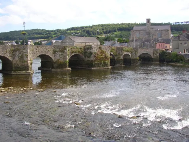
- Population
- 5,771
- 5.8K
- Elevation
- 7 m
- above sea level
- Local time
- UTC+00:00
- Europe/Dublin · UTC+00:00
About Carrick-on-Suir
Carrick-on-Suir is a town. Location: County Tipperary, Munster. Population: 5,771. Elevation: 7 m.
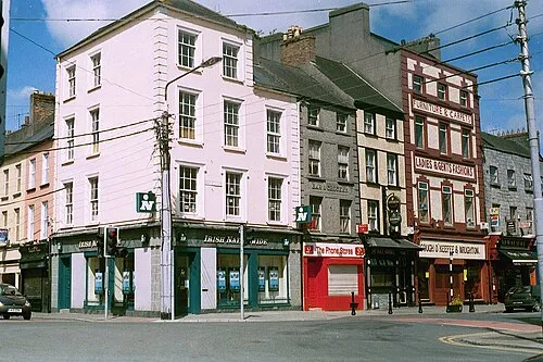
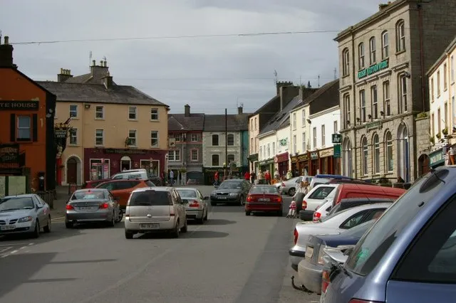
Carrick-on-Suir (Irish: Carraig na Siúire, meaning 'rock of the Suir') is a town in County Tipperary, Ireland. It lies on both banks of the River Suir. The part on the north bank of the Suir lies in the civil parish of "Carrick", in the historical barony of Iffa and Offa East. The part on the south bank lies in the civil parish of Kilmolerin in the barony of Upperthird, County Waterford.
Read more on Wikipedia Text: Wikipedia contributors · CC BY-SA 4.0 · shortened
At a glance
- Area
- 3.2 km²
Source: Wikidata
In comparison
- No. 5 of 52 places in County Tipperary by population
- Nearest larger town: Clonmel, 20 km W
- 16 sights and natural places within 10 km Ormonde Castle, Lingaun River
Nearby attractions & nature
Everything nearby-
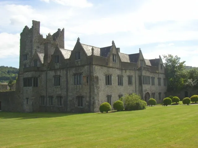 Ormonde Castle Historic site, County Tipperary0.6 km SE
-
Coolnamuck Wood Natural site, Munster3.9 km W
-
Liagaun River River, Munster3.6 km SE
-
Ballynakill Castle Historic site, County Tipperary5.1 km NW
-
Brownswood Natural site, Munster4.7 km SE
-
Clashawley River River, County Tipperary3.7 km W
-
Tower Hill Mountain, Waterford5.4 km SE
-
Lingaun River River, County Kilkenny3.2 km E
Other cities and towns in County Tipperary
-
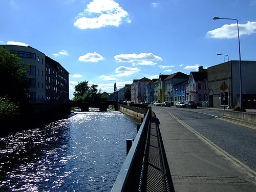 Clonmel City, County Tipperary20 km W
-
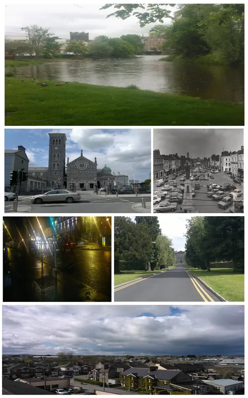 Thurles Town, County Tipperary45 km NW
-
 Nenagh City, County Tipperary78 km NW
-
 Roscrea Town, County Tipperary72 km N
-
Nenagh Bridge Town, County Tipperary80 km NW
Sources & licences
Data last updated: · 2 independent sources