Ormonde Castle
Located in County Tipperary, Munster Coordinates: 52°20′43″ N 7°24′25″ W
- Local time
- UTC+00:00
- Europe/Dublin · UTC+00:00
- Elevation
- 4 m
- above sea level
About Ormonde Castle
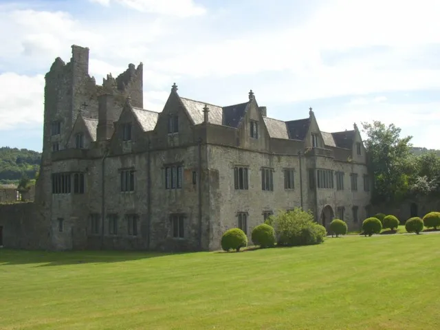
Ormonde Castle is a historic site. Location: County Tipperary, Munster.
Ormond Castle (Irish: Caisleán Urmhumhan) is a castle on the River Suir on the east side of Carrick-on-Suir, County Tipperary, Ireland. The oldest part of the existing castle is a mid-15th century walled bawn, cornered on the northeast and northwest by towers.
Read more on Wikipedia Text: Wikipedia contributors · CC BY-SA 4.0 · shortened
At a glance
- Heritage designation
- national monument of Ireland
Source: Wikidata
In comparison
- 16 sights and natural places within 10 km Lingaun River, Liagaun River
Nearby attractions & nature
Everything nearby-
Liagaun River River, Munster3.1 km SE
-
Ballynakill Castle Historic site, County Tipperary5.7 km NW
-
De La Poer Tower Landmark, Waterford5.9 km SE
-
Brownswood Natural site, Munster4.1 km SE
-
Tower Hill Mountain, Waterford4.8 km SE
-
Coolnamuck Wood Natural site, Munster4.3 km W
-
Lingaun River River, County Kilkenny2.8 km E
-
Clashawley River River, County Tipperary4.1 km W
Nearest towns and villages
-
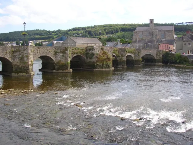 Carrick-on-Suir Town, County Tipperary0.6 km NW
-
Carrickbeg Village, County Tipperary0.7 km W
-
Piltown Village, County Kilkenny4.6 km E
-
Cregg Village, County Tipperary2.9 km N
Sources & licences
Data last updated: · 2 independent sources