Carrickbeg
Local name: An Charraig Bheag
Located in County Tipperary, Munster Coordinates: 52°20′35″ N 7°24′59″ W
- Elevation
- 16 m
- above sea level
- Local time
- UTC+00:00
- Europe/Dublin · UTC+00:00
About Carrickbeg
Carrickbeg is a village. Location: County Tipperary, Munster. Elevation: 16 m.
Carrickbeg (Irish: An Charraig Bheag, meaning 'the small rock') is a village in County Tipperary, Ireland. Located on the border with County Waterford, it comprises that part of the town of Carrick-on-Suir lying south of the River Suir. The area is in County Tipperary, but some residents have an affinity for County Waterford, as well as it previously having been a part of that county.
Read more on Wikipedia Text: Wikipedia contributors · CC BY-SA 4.0 · shortened
In comparison
- Nearest larger town: Carrick-on-Suir, 1 km N
- 16 sights and natural places within 10 km Ormonde Castle, Lingaun River
Nearby attractions & nature
Everything nearby-
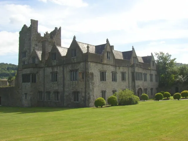 Ormonde Castle Historic site, County Tipperary0.7 km E
-
Coolnamuck Wood Natural site, Munster3.6 km W
-
Liagaun River River, Munster3.6 km E
-
Clashawley River River, County Tipperary3.5 km W
-
Brownswood Natural site, Munster4.6 km E
-
Lingaun River River, County Kilkenny3.5 km E
Sources & licences
Data last updated: · 2 independent sources