Roscrea Castle
Located in County Tipperary, Munster Coordinates: 52°57′18″ N 7°47′53″ W
- Local time
- UTC+00:00
- Europe/Dublin · UTC+00:00
- Elevation
- 98 m
- above sea level
About Roscrea Castle
Roscrea Castle is a historic site. Location: County Tipperary, Munster.
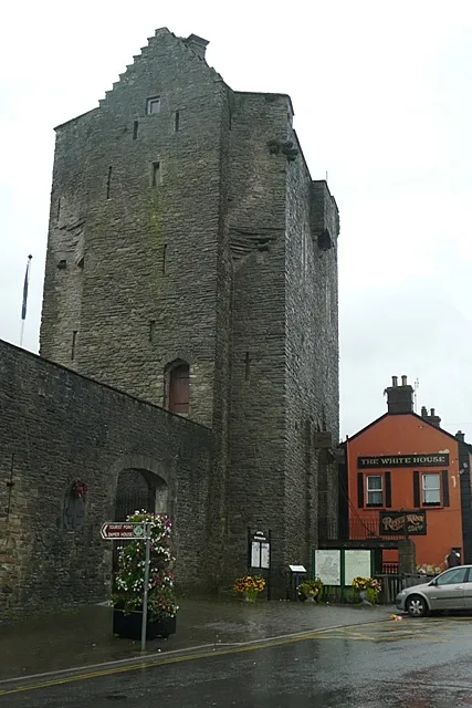
Roscrea Castle is a 13th-century motte-and-bailey castle in the town of Roscrea, Ireland. The castle consists of a walled courtyard, gate block, and angled towers. Along with 18th century Damer House and gardens, the castle forms part of Roscrea Heritage Centre.
Read more on Wikipedia Text: Wikipedia contributors · CC BY-SA 4.0 · shortened
At a glance
- Heritage designation
- national monument of Ireland
Source: Wikidata
In comparison
- 13 sights and natural places within 10 km Roscrea Round Tower, Bunow River
Nearby attractions & nature
Everything nearby-
Roscrea Round Tower Landmark, County Tipperary0.2 km NE
-
Mount Saint Joseph Abbey Attraction, County Offaly4.1 km W
-
Butler’s Lough Lake, County Tipperary4 km E
-
Cedar Hill Mountain, County Offaly3.7 km NW
-
Black Lough Lake, County Tipperary4.3 km E
-
Bunow River River, County Tipperary2.9 km W
-
Oldcastle Historic site, County Tipperary7.1 km S
-
Forked Lough Lake, Ireland5 km E
Nearest towns and villages
-
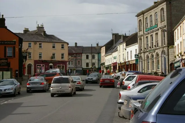 Roscrea Town, County Tipperary0.5 km SW
-
Borris Village, County Tipperary2.4 km W
-
Barnagree Village, County Tipperary2.5 km W
-
Timeighter Village, County Tipperary2.8 km W
Sources & licences
Data last updated: · 2 independent sources