- Elevation
- 110 m
- above sea level
- Local time
- UTC+00:00
- Europe/Dublin · UTC+00:00
- Airports
- SNN Shannon Airport85 km
- DUB Dublin Airport112 km
About Black Lough
Black Lough is a lake. Location: County Tipperary, Munster. Elevation: 110 m. The best months to visit are June–August. The nearest airport is Shannon Airport (85 km). Nearby sights include Butler’s Lough and Forked Lough.
Climate of Black Lough
Best months for sightseeingBest months for sightseeing: June–August.
This month · November
A wet month
Day 10° · Night 4° · Rain 105 mm
- Hottest month
- July (day 20°)
- Coldest month
- January (night 2°)
- Wettest month
- October (112 mm)
- Driest month
- April (66 mm)
Bars: average monthly low and high temperature. Below: precipitation. Monthly averages for 1970–2000 at about 18 km resolution, adjusted for elevation. Highlighted months are mild and relatively dry. Source: WorldClim 2.1 (CC BY 4.0).
Show values as a table
| Month | Jan | Feb | Mar | Apr | May | Jun | Jul | Aug | Sep | Oct | Nov | Dec |
|---|---|---|---|---|---|---|---|---|---|---|---|---|
| Average high (°C) | 8° | 8° | 10° | 12° | 15° | 18° | 20° | 19° | 17° | 13° | 10° | 8° |
| Average low (°C) | 2° | 2° | 3° | 4° | 6° | 9° | 11° | 11° | 9° | 6° | 4° | 3° |
| Precipitation (mm) | 109 | 87 | 85 | 66 | 69 | 70 | 68 | 93 | 87 | 112 | 105 | 110 |
How to get to Black Lough
The nearest airport is Shannon Airport (SNN), 85 km to the west as the crow flies. The nearest large city is Limerick, 68 km to the southwest.
Airports
- Shannon Airport (SNN) Shannon 85 kmwest
- Dublin Airport (DUB) Dublin 112 kmnortheast
- Ireland West Airport Knock (NOC) Charlestown 129 kmnorthwest
Nearby large cities
- Limerick Population: 102.3K 68 kmsouthwest
- Dublin Population: 1M 108 kmnortheast
- Cork Population: 224K 128 kmsouthwest
- Belfast Population: 348K 218 kmnortheast
- Swansea Population: 300.4K 298 kmsoutheast
Straight-line distances; road distances are longer. Airport data: OurAirports.
Day trips from Black Lough
Within 100 km: 316 historic and cultural sites, 739 natural sites, 688 lakes, rivers and coasts.
0–25 km73 places
- Grantstown Lough Lake 18 kmSE
- Lough Nahinch Lake 19 kmW
- Butler’s Lough Lake 1 kmNW
- Forked Lough Lake 1 kmSE
25–60 km447 places
- Long Island Island 48 kmN
- Illaunmore Island 38 kmW
- Holy Island Island 48 kmW
- Hare Island Island 59 kmN
60–100 km1,223 places
- Wicklow Mountains Mountain 95 kmE
- Bush Island Island 78 kmSW
- Saint Thomas Island Island 66 kmSW
- Mutton Island Island 95 kmW
Straight-line distances.
Nearest towns and villages
-
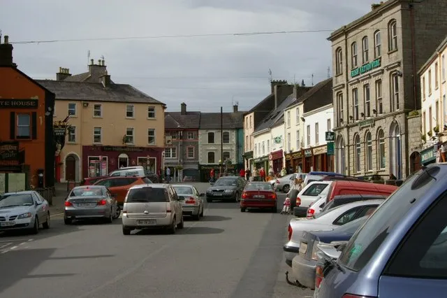 Roscrea Town, County Tipperary4.5 km W
-
Ballaghmore Village, County Laois1 km NE
-
Nore Bridge Village, County Tipperary3.8 km S
-
Borris in Ossory Village, County Laois6.8 km E
-
Knock Cross Roads Village, County Tipperary4.6 km SE
-
Knock Village, County Tipperary4.9 km SE
Nearby attractions & nature
Everything nearby-
Butler’s Lough Lake, County Tipperary0.3 km NW
-
Forked Lough Lake, Ireland1 km SE
-
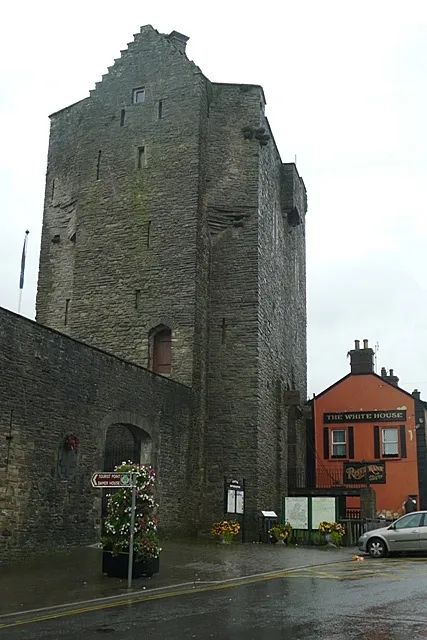 Roscrea Castle Historic site, County Tipperary4.3 km W
-
Black Hill Mountain, County Tipperary6.4 km S
-
Roscrea Round Tower Landmark, County Tipperary4.2 km W
-
Moll Joy’s Hill Mountain, County Laois6.6 km NE
-
Garraunbaun Mountain, County Laois6.6 km N
-
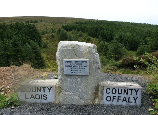 Arderin Mountain, County Laois11 km NE
Sources & licences
Data last updated: