Ballyliffin
Local name: Baile Lifín
Located in County Donegal, Ulster Coordinates: 55°17′00″ N 7°24′00″ W
- Population
- 461
- 461
- Elevation
- 77 m
- above sea level
- Local time
- UTC+00:00
- Europe/Dublin · UTC+00:00
About Ballyliffin
Ballyliffin is a village. Location: County Donegal, Ulster. Population: 461. Elevation: 77 m.
Ballyliffin (Irish: Baile Lifín) is a village on the R238 road near the north coast of the Inishowen peninsula in County Donegal, Ireland. The surrounding landscape includes Pollan Strand, Binion Hill and Crockaughrim hill.
Read more on Wikipedia Text: Wikipedia contributors · CC BY-SA 4.0 · shortened
In comparison
- No. 35 of 66 places in County Donegal by population
- Nearest larger town: Clonmany, 2 km SW
- 47 sights and natural places within 10 km Binnion, Tanderagee
Nearby attractions & nature
Everything nearby-
Binnion Mountain, County Donegal1.3 km W
-
Tanderagee Mountain, County Donegal1.7 km SW
-
Coolcross Hill Mountain, County Donegal2.8 km SE
-
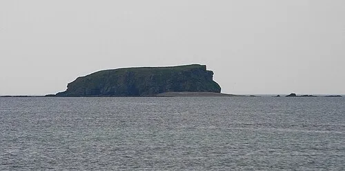 Glashedy Island Island, County Donegal4 km N
-
Skehan Mountain, County Donegal3.8 km NE
-
Pollan Bay Natural site, County Donegal1.9 km N
Sources & licences
Data last updated: · 2 independent sources