Glashedy Island
Located in County Donegal, Ulster Coordinates: 55°19′10″ N 7°24′03″ W
- Elevation
- 6 m
- above sea level
- Local time
- UTC+00:00
- Europe/Dublin · UTC+00:00
About Glashedy Island
Glashedy Island is an island. Location: County Donegal, Ulster.
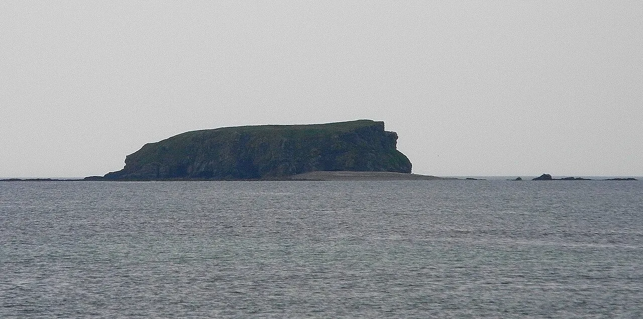
Glashedy Island (Irish: Glaiséidí) is an uninhabited island approximately 1 mile (2 km) off Pollan strand, 2 miles (3 km) west of Trawbreaga Bay, and about 4 miles (6 km) south of Malin Head, Donegal, Ireland. Glashedy Island has an area of 22,548 m2 which is equivalent to 2.25 hectares (5.57 acres / 5 acres, 2 roods, 11 perches). At its highest point, it is 119 ft high. The sea around the island is potentially very dangerous for shipping and unsafe for anchorage.
Read more on Wikipedia Text: Wikipedia contributors · CC BY-SA 4.0 · shortened
In comparison
- 40 sights and natural places within 10 km Pollan Bay, Skehan
Nearest towns and villages
Nearby attractions & nature
Everything nearby-
Pollan Bay Natural site, County Donegal2.2 km S
-
Skehan Mountain, County Donegal3 km SE
-
Binnion Mountain, County Donegal4 km S
-
Sheenmore Mountain, County Donegal4.6 km NE
-
Doagh Isle Natural site, County Donegal3.9 km SE
-
Cranny Hill Mountain, County Donegal5.3 km E
-
Soldiers Hill Mountain, County Donegal4.5 km E
-
Ardmalin Mountain, County Donegal5.8 km NE
Sources & licences
Data last updated: · 2 independent sources