Bunbeg
Located in County Donegal, Ulster Coordinates: 55°03′35″ N 8°18′01″ W
- Elevation
- 22 m
- above sea level
- Local time
- UTC+00:00
- Europe/Dublin · UTC+00:00
About Bunbeg
Bunbeg is a village. Location: County Donegal, Ulster. Elevation: 22 m.
An Bun Beag (anglicised as Bunbeg), meaning "the small river mouth", is a small Gaeltacht village and townland in County Donegal, Ireland. It is officially the smallest townland in Gaoth Dobhair (Gweedore), but today the name Bunbeg is used to describe a large region of the parish. It is situated between Derrybeg and the townland of Dore and is home to many of Gweedore's amenities and businesses.
Read more on Wikipedia Text: Wikipedia contributors · CC BY-SA 4.0 · shortened
At a glance
- Area
- 7.9 km²
Source: Wikidata
In comparison
- Nearest larger town: Derrybeg, 3 km N
- 54 sights and natural places within 10 km Clady River, Gweedore River
Nearby attractions & nature
Everything nearby-
Carnboy Natural site, County Donegal2.2 km W
-
Clady River River, County Donegal0.9 km W
-
Bo Island Island, County Donegal3.3 km NW
-
Gweedore River River, County Donegal1.9 km SW
-
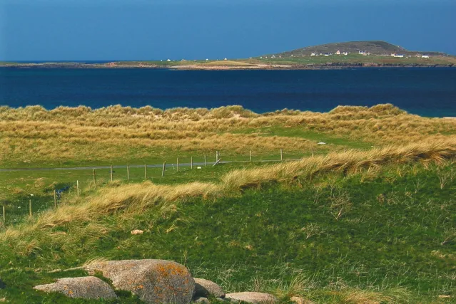 Inishmeane Island, County Donegal5.5 km NW
-
Go Island Island, County Donegal4.5 km NW
Sources & licences
Data last updated: · 2 independent sources