Burtonport
Located in County Donegal, Ulster Coordinates: 54°59′08″ N 8°25′52″ W
- Population
- 304
- 304
- Elevation
- 21 m
- above sea level
- Local time
- UTC+00:00
- Europe/Dublin · UTC+00:00
About Burtonport
Burtonport is a village. Location: County Donegal, Ulster. Population: 304. Elevation: 21 m.
Ailt an Chorráin or Ailt a' Chorráin (English name: Burtonport) is a Gaeltacht fishing village about 7 km (4 mi) northwest of Dungloe in The Rosses district of County Donegal, Ireland. The main employers in the village were the Burtonport Fishermen's Co-op and the Bord Iascaigh Mhara (BIM; Irish Sea Fisheries Board) ice plant; but these have both since closed and their former premises were demolished in 2021 as part of a seafront environment upgrade scheme.
Read more on Wikipedia Text: Wikipedia contributors · CC BY-SA 4.0 · shortened
In comparison
- No. 50 of 66 places in County Donegal by population
- Nearest larger town: Dungloe, 6 km SE
- 67 sights and natural places within 10 km Sally’s Lough, Lough Waskel
Nearby attractions & nature
Everything nearby-
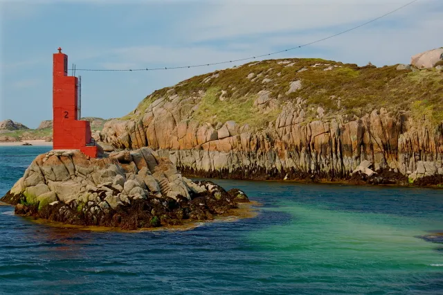 Inishcoo Island, County Donegal1.7 km W
-
Inishmeal Island, County Donegal1.6 km S
-
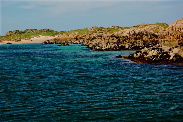 Eighter Island Island, County Donegal2.6 km W
-
Sally’s Lough Lake, County Donegal1.4 km N
-
Lough Waskel Lake, County Donegal1.5 km NE
-
Lahan Island Island, County Donegal2.3 km NW
Sources & licences
Data last updated: · 2 independent sources