Sally’s Lough
Located in County Donegal, Ulster Coordinates: 54°59′51″ N 8°26′23″ W
- Elevation
- 4 m
- above sea level
- Local time
- UTC+00:00
- Europe/Dublin · UTC+00:00
About Sally’s Lough
Sally’s Lough is a lake. Location: County Donegal, Ulster. Elevation: 4 m.
In comparison
- 61 sights and natural places within 10 km Lough Arland, Lahan Island
Nearest towns and villages
-
Burtonport Village, County Donegal1.4 km S
-
Edernishfree Village, County Donegal0.9 km SE
-
Leabgarrow Village, County Donegal4.1 km W
-
Dungloe Village, County Donegal7.3 km SE
-
Meenanalbany Village, County Donegal4.3 km SE
-
Kincaslough Village, County Donegal4.4 km NE
Nearby attractions & nature
Everything nearby-
Lough Arland Lake, County Donegal0.6 km N
-
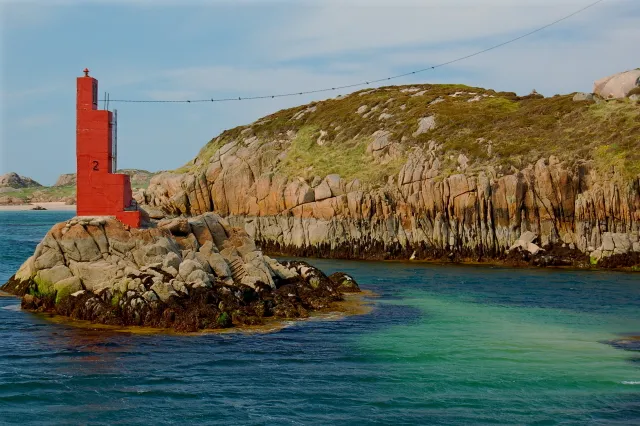 Inishcoo Island, County Donegal1.7 km SW
-
Lahan Island Island, County Donegal1.2 km W
-
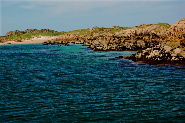 Eighter Island Island, County Donegal2.1 km W
-
Inishinny Island, County Donegal1.4 km NW
-
Lough Waskel Lake, County Donegal1.9 km E
-
Inishmeal Island, County Donegal2.9 km S
-
Rutland Island Island, County Donegal2.6 km SW
More lakes, rivers and coasts in Ireland
-
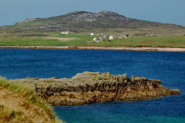 Owey Island Island, County Donegal5.9 km N
-
Inishfree Upper Island, County Donegal4.7 km S
-
Inishal Island, County Donegal5.4 km S
-
Inishillintry Island, County Donegal5.4 km N
-
Calf Island Island, County Donegal3.4 km W
-
Inisheane Island, County Donegal6.2 km SE
Sources & licences
Data last updated: