Inishfree Upper
Located in County Donegal, Ulster Coordinates: 54°57′19″ N 8°26′43″ W
- Elevation
- 12 m
- above sea level
- Local time
- UTC+00:00
- Europe/Dublin · UTC+00:00
About Inishfree Upper
Inishfree Upper is an island. Location: County Donegal, Ulster.
Inishfree (Irish: Inis Fraoigh, transl. 'island of heather') refers to two small islands off the coast of County Donegal in the north of Ireland. Inishfree Upper is the larger of the two at around 0.6 square miles (1.6 km2). It is often known simply as "Inishfree".
Read more on Wikipedia Text: Wikipedia contributors · CC BY-SA 4.0 · shortened
At a glance
- Area
- 1.6 km²
Source: Wikidata
In comparison
- 61 sights and natural places within 10 km Inishal, Termon
Nearest towns and villages
-
Burtonport Village, County Donegal3.5 km N
-
Dungloe Village, County Donegal5.5 km E
-
Maghery Village, County Donegal2.9 km S
-
Meenmore Village, County Donegal3.5 km E
-
Monasteraden Village, County Donegal3.6 km W
-
Edernishfree Village, County Donegal4.1 km N
Nearby attractions & nature
Everything nearby-
Inishal Island, County Donegal1.4 km SE
-
Termon Natural site, County Donegal1.5 km S
-
Inishmeal Island, County Donegal2 km N
-
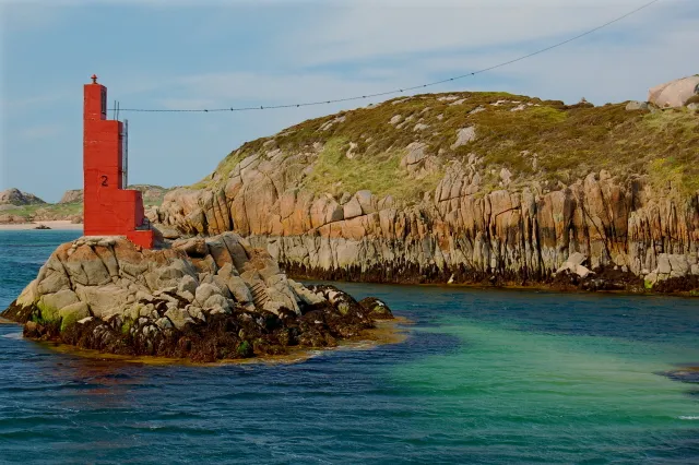 Inishcoo Island, County Donegal3.6 km N
-
Illancrone Island, County Donegal2.6 km SW
-
Rutland Island Island, County Donegal2.5 km N
-
Crohy Head Natural site, County Donegal3.4 km S
-
Crokeragh Mountain, County Donegal3.7 km S
More lakes, rivers and coasts in Ireland
-
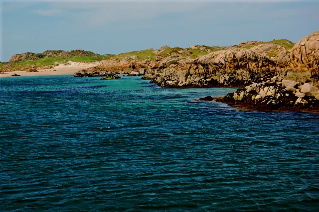 Eighter Island Island, County Donegal4.3 km N
-
Inisheane Island, County Donegal3.2 km E
-
Lahan Island Island, County Donegal5 km N
-
Lough Meela Lake, County Donegal3.1 km NE
-
Inishkeeragh Island, County Donegal3.2 km W
-
Lough Ilian Lake, County Donegal4.2 km SE
Sources & licences
Data last updated: · 2 independent sources