Owey Island
Local name: Uaigh
Located in County Donegal, Ulster Coordinates: 55°03′00″ N 8°27′00″ W
- Elevation
- 16 m
- above sea level
- Local time
- UTC+00:00
- Europe/Dublin · UTC+00:00
About Owey Island
Owey Island is an island. Location: County Donegal, Ulster.
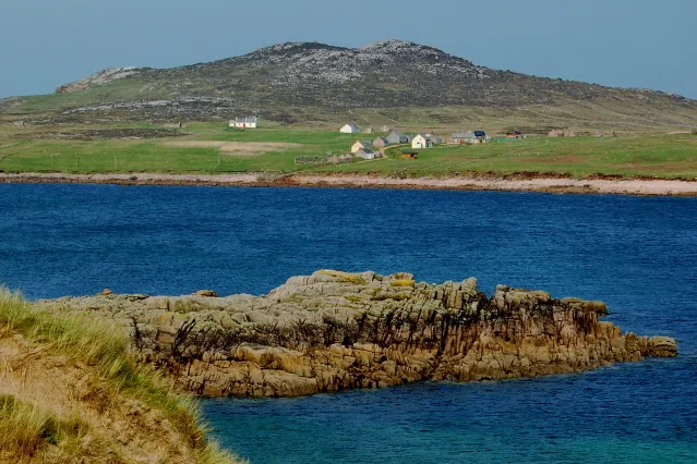
Owey Island (Irish: Uaigh, meaning 'cave') is an island off the west coast of County Donegal, Ireland.
Read more on Wikipedia Text: Wikipedia contributors · CC BY-SA 4.0 · shortened
At a glance
- Area
- 1.2 km²
Source: Wikidata
In comparison
- 45 sights and natural places within 10 km An Mhaoil Mhor, Inishillintry
Nearest towns and villages
-
Gortnasate Village, County Donegal3.7 km SE
-
Burtonport Village, County Donegal7.3 km S
-
Kincaslough Village, County Donegal4.7 km SE
-
Derrybeg Village, County Donegal11 km E
-
Annagary Village, County Donegal9 km E
-
Rann Na Feirste Village, County Donegal9.3 km E
Nearby attractions & nature
Everything nearby-
An Mhaoil Mhor Mountain, County Donegal0.6 km NW
-
Inishillintry Island, County Donegal2.6 km E
-
Cruit Island Island, County Donegal3 km SE
-
Inishfree Lower Island, County Donegal4.7 km E
-
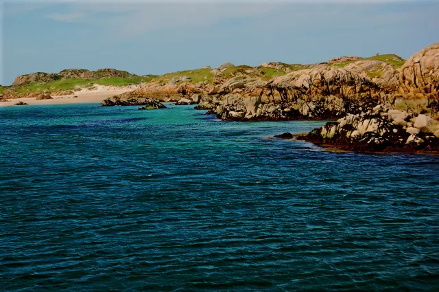 Eighter Island Island, County Donegal6.7 km S
-
Inishfree Bay Natural site, County Donegal4.3 km E
-
Inishinny Island, County Donegal4.6 km S
-
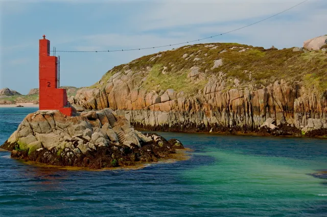 Inishcoo Island, County Donegal7.1 km S
More lakes, rivers and coasts in Ireland
-
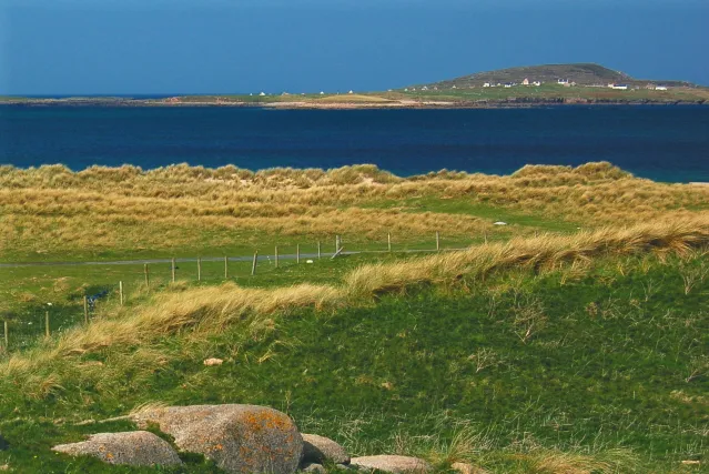 Inishmeane Island, County Donegal9.3 km NE
-
Lahan Island Island, County Donegal5.6 km S
-
Allagh Island Island, County Donegal6.1 km NE
-
Go Island Island, County Donegal6.4 km NE
-
Bo Island Island, County Donegal7.9 km NE
-
Lough Arland Lake, County Donegal5.3 km S
Sources & licences
Data last updated: · 2 independent sources