Lough Agher River
Located in County Donegal, Ulster Coordinates: 55°07′42″ N 8°03′51″ W
- Elevation
- 45 m
- above sea level
- Local time
- UTC+00:00
- Europe/Dublin · UTC+00:00
About Lough Agher River
Lough Agher River is a river. Location: County Donegal, Ulster.
In comparison
- 49 sights and natural places within 10 km Cloughaneely, Derryreel Lough
Nearest towns and villages
-
Falcarragh Village, County Donegal2.4 km W
-
Moyra Village, County Donegal0.6 km N
-
Carowcanon Village, County Donegal1.6 km NW
-
Ray Village, County Donegal2.1 km N
-
Gortahork Village, County Donegal4.6 km W
-
Croaghlosky Village, County Donegal3 km E
Nearby attractions & nature
Everything nearby-
Ballyboe Mountain Mountain, County Donegal4.4 km SE
-
Moylecrock Mountain, County Donegal4.5 km S
-
Black Burrow Mountain, County Donegal4.8 km N
-
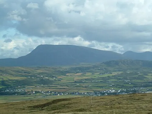 Muckish Mountain, County Donegal5.2 km SE
-
Croaghaderry Mountain, County Donegal5.3 km NE
-
Derryreel Lough Lake, County Donegal2.7 km E
-
Crockatee Mountain, County Donegal7 km E
-
Tullaghobegly River River, County Donegal3.7 km W
More lakes, rivers and coasts in Ireland
-
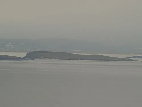 Inishdooey Island, County Donegal9.6 km NW
-
Drumlesk Lough Lake, County Donegal3.9 km NE
-
Ray River River, County Donegal3.9 km N
-
Lough Agher Lake, County Donegal3.9 km E
-
Glenna River River, County Donegal4.8 km W
-
Lough Muilt Lake, County Donegal4.9 km S
Sources & licences
Data last updated: