- Elevation
- 3,906 m
- above sea level
- Local time
- UTC+01:00
- Europe/Rome · UTC+01:00
- Airports
- MXP Milan Malpensa International Airport79 km
- TRN Turin Airport80 km
About Punta Perazzi
Punta Perazzi is a mountain. Location: Ayas, Province of Aosta. Elevation: 3,906 m. The nearest airport is Milan Malpensa International Airport (79 km). Nearby sights include Punta Felik and Castor.
Photos of Punta Perazzi
-
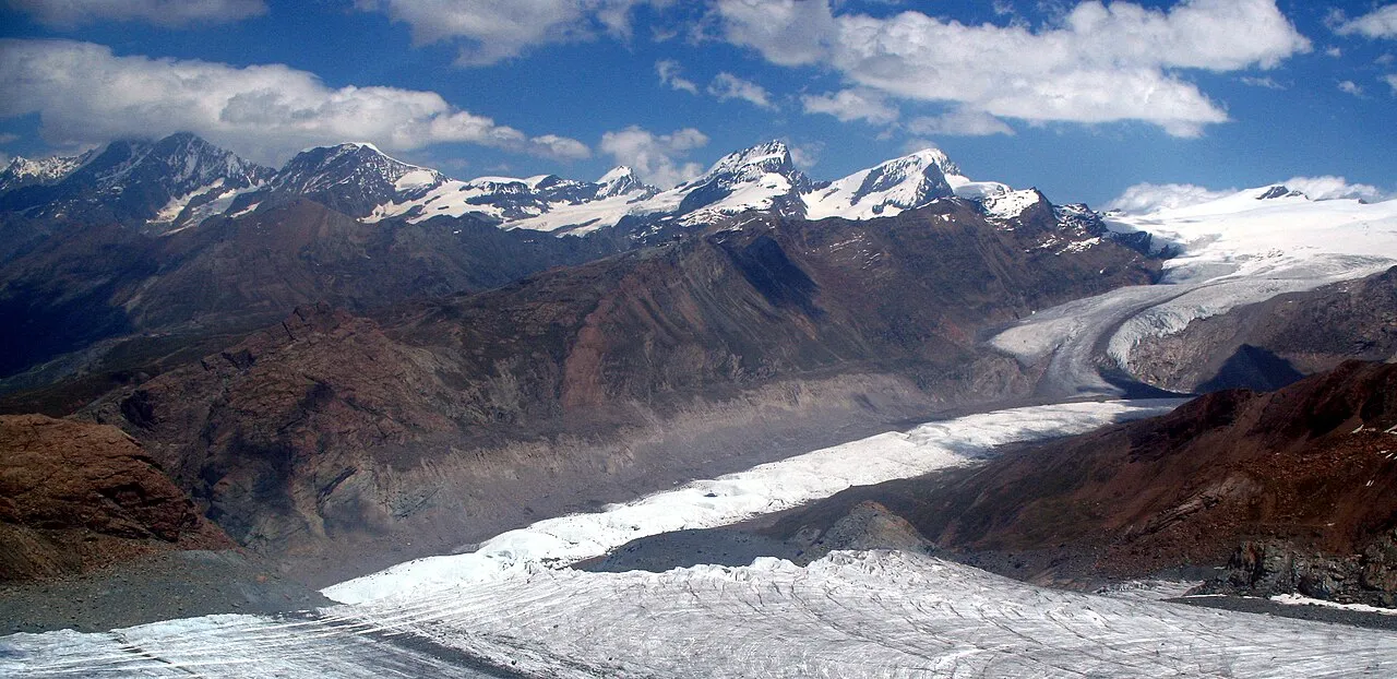
Gornergrat Andrew Bossi , clipped and more contrast by Herzi Pinki · CC BY-SA 2.5 -
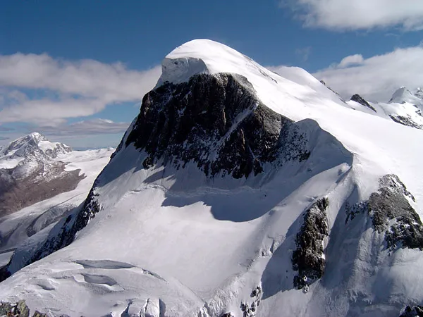
Breithorn ChrisO · CC BY-SA 3.0 -
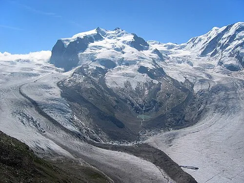
Dufourspitze TobiasBender · CC BY-SA 3.0 -
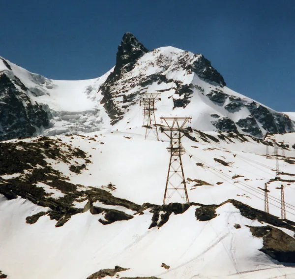
Klein Matterhorn Stan Shebs · CC BY-SA 3.0 -
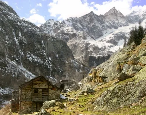
Punta Giordani No machine-readable author provided. Idéfix~commonswiki assumed · CC BY-SA 3.0


Climate of Punta Perazzi
This month · November
A cold month
Day -10° · Night -15° · Rain 65 mm
- Hottest month
- August (day 2°)
- Coldest month
- February (night -19°)
- Wettest month
- November (65 mm)
- Driest month
- July (49 mm)
Bars: average monthly low and high temperature. Below: precipitation. Monthly averages for 1970–2000 at about 18 km resolution, adjusted for elevation. Highlighted months are mild and relatively dry. Source: WorldClim 2.1 (CC BY 4.0).
Show values as a table
| Month | Jan | Feb | Mar | Apr | May | Jun | Jul | Aug | Sep | Oct | Nov | Dec |
|---|---|---|---|---|---|---|---|---|---|---|---|---|
| Average high (°C) | -13° | -13° | -13° | -11° | -6° | -2° | 1° | 2° | -1° | -5° | -10° | -12° |
| Average low (°C) | -19° | -19° | -18° | -17° | -12° | -9° | -5° | -4° | -7° | -10° | -15° | -17° |
| Precipitation (mm) | 59 | 55 | 64 | 63 | 63 | 54 | 49 | 56 | 53 | 63 | 65 | 56 |
How to get to Punta Perazzi
The nearest airport is Milan Malpensa International Airport (MXP), 79 km to the southeast as the crow flies. The nearest large city is Lausanne, 112 km to the northwest.
Airports
- Milan Malpensa International Airport (MXP) Ferno (VA) 79 kmsoutheast
- Turin Airport (TRN) Caselle Torinese (TO) 80 kmsouth
- Lugano Airport (LUG) Agno 87 kmeast
Nearby large cities
- Lausanne Population: 139.1K 112 kmnorthwest
- Bern Population: 121.6K 118 kmnorth
- Geneva Population: 201.7K 132 kmwest
- Zurich Population: 415.4K 172 kmnorth
- Grenoble Population: 158.6K 182 kmsouthwest
Straight-line distances; road distances are longer. Airport data: OurAirports.
Day trips from Punta Perazzi
Within 100 km: 101 historic and cultural sites, 4,821 natural sites, 551 lakes, rivers and coasts.
0–25 km422 places
- Stausee Mattmark Lake 19 kmNE
- Gornergratsee Lake 8 kmN
- Stellisee Lake 11 kmN
- Theodulgletschersee Lake 9 kmNW
25–60 km1,623 places
- Daubensee Lake 57 kmN
- Innersts Seewji Lake 37 kmN
- Etang des Mouchys Lake 53 kmNW
- Illsee Lake 40 kmN
60–100 km3,428 places
- Strandbad Neuhaus Beach 85 kmN
- Strandbad Manor Farm Beach 86 kmN
- Strandbad Leissigen Beach 83 kmN
- Strandbad Iseltwald Beach 90 kmN
Straight-line distances.
Nearest towns and villages
-
 Staffal Village, Gressoney-La-Trinité5.9 km S
-
 Saint Jacques Village, Ayas7.2 km SW
-
Tschaval Village, Gressoney-La-Trinité6.2 km S
-
 Champoluc-Champlan Village, Ayas9.9 km SW
-
 Frachey Village, Ayas8 km SW
-
Zermatt Municipality, Visp District9.2 km N
Nearby attractions & nature
Everything nearby-
Punta Felik Mountain, Ayas1 km NE
-
Castor Mountain, Switzerland1 km N
-
Zwillinge Mountain, Switzerland1.5 km N
-
Pollux Mountain, Zermatt1.9 km N
-
Zwillingsgletscher Natural site, Zermatt2.3 km N
-
Lyskamm Occidentale Mountain, Zermatt2.8 km NE
-
Breithorn Mountain, Zermatt4.8 km NW
-
Gendarm Mountain, Zermatt3.2 km NW
Sources & licences
Data last updated: · 2 independent sources