- Population
- 125,666
- 125.7K
- Elevation
- 1,715 m
- above sea level
- Local time
- UTC+01:00
- Europe/Rome · UTC+01:00
- Places inside
- 74
- listed under Province of Aosta
- Airports
- TRN Turin Airport65 km
- MXP Milan Malpensa International Airport103 km
About Province of Aosta
Province of Aosta is a district. Location: Aosta Valley, Italy. Population: 125,666. The best months to visit are July–August. The nearest airport is Turin Airport (65 km). Nearby sights include Mont Vélan and Bec d'Epicoune.
Photos of Province of Aosta
-
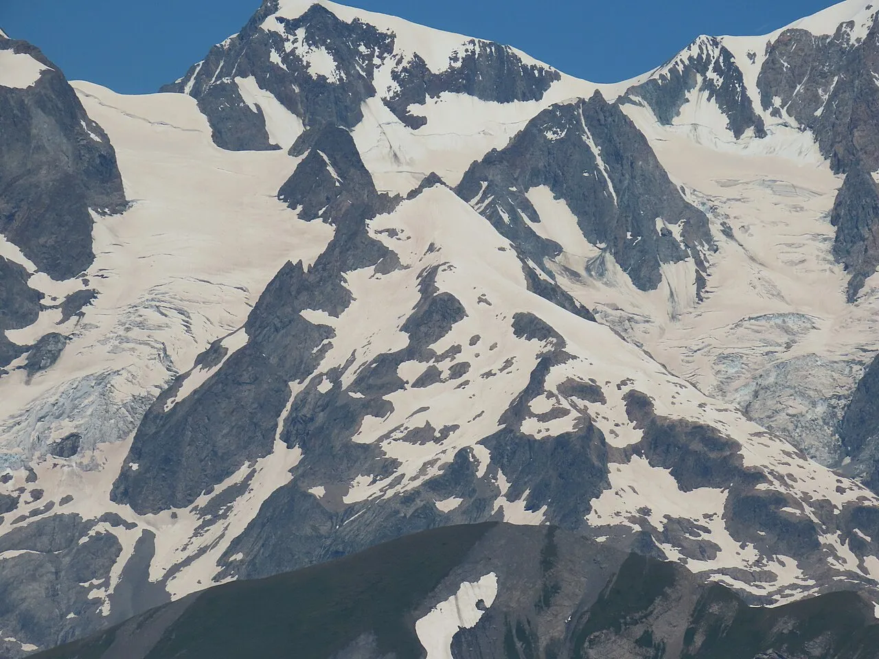
Petit Mont Blanc Rémih · CC BY-SA 4.0 -
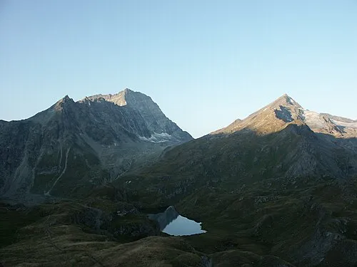
Mont Avril Olivier Bruchez from Lausanne, Switzerland · CC BY-SA 2.0 -
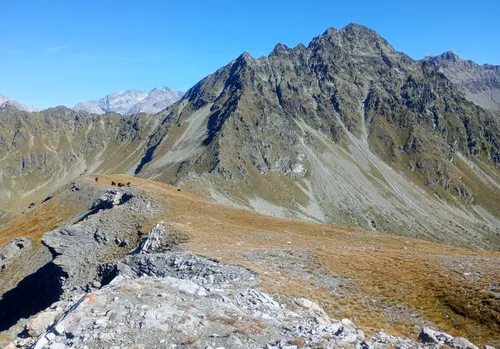
Monte Faroma Pampuco · CC BY 4.0 -
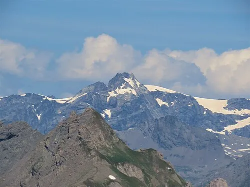
Becca du Lac Rémih · CC BY-SA 4.0 -
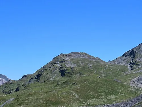
Monte Belvedere Rémih · CC BY-SA 4.0


Climate of Province of Aosta
Best months for sightseeingBest months for sightseeing: July–August.
This month · November
A wet month
Day 4° · Night -3° · Rain 107 mm
- Hottest month
- August (day 18°)
- Coldest month
- January (night -6°)
- Wettest month
- November (107 mm)
- Driest month
- July (71 mm)
Bars: average monthly low and high temperature. Below: precipitation. Monthly averages for 1970–2000 at about 18 km resolution, adjusted for elevation. Highlighted months are mild and relatively dry. Source: WorldClim 2.1 (CC BY 4.0).
Show values as a table
| Month | Jan | Feb | Mar | Apr | May | Jun | Jul | Aug | Sep | Oct | Nov | Dec |
|---|---|---|---|---|---|---|---|---|---|---|---|---|
| Average high (°C) | 1° | 1° | 3° | 6° | 11° | 15° | 18° | 18° | 14° | 9° | 4° | 1° |
| Average low (°C) | -6° | -6° | -5° | -3° | 2° | 6° | 9° | 9° | 6° | 2° | -3° | -5° |
| Precipitation (mm) | 96 | 97 | 91 | 95 | 102 | 87 | 71 | 82 | 76 | 106 | 107 | 101 |
How to get to Province of Aosta
The nearest airport is Turin Airport (TRN), 65 km to the south as the crow flies. The nearest large city is Lausanne, 103 km to the northwest.
Airports
- Turin Airport (TRN) Caselle Torinese (TO) 65 kmsouth
- Milan Malpensa International Airport (MXP) Ferno (VA) 103 kmeast
- Annecy Meythet airport (NCY) Annecy 104 kmwest
Nearby large cities
- Lausanne Population: 139.1K 103 kmnorthwest
- Geneva Population: 201.7K 110 kmnorthwest
- Bern Population: 121.6K 131 kmnorth
- Grenoble Population: 158.6K 148 kmsouthwest
- Besançon Population: 128.4K 197 kmnorthwest
Straight-line distances; road distances are longer. Airport data: OurAirports.
Day trips from Province of Aosta
Within 100 km: 83 historic and cultural sites, 3,843 natural sites, 399 lakes, rivers and coasts.
0–25 km189 places
- Lac de Tsofeiret Lake 21 kmN
- Grand Lé Lake 24 kmNW
- Petit Lé Lake 25 kmNW
- Lacs de Fenêtre Lake 25 kmNW
25–60 km1,643 places
- Stausee Mattmark Lake 52 kmNE
- Lac de Fully Lake 52 kmNW
- Lac de Derborence Lake 59 kmN
- Lac d'Émosson Lake 53 kmNW
60–100 km2,493 places
- Ile de Salagnon Island 86 kmNW
- Oeschinen Lake Lake 85 kmN
- Daubensee Lake 74 kmN
- Blausee Lake 87 kmN
Straight-line distances.
Places in Province of Aosta
74 places- 1 Aosta 34K
- 2 Sarre 4.8K
- 3 Châtillon 4.6K
- 4 Saint-Vincent 4.6K
- 5 Quart 4.1K
- 6 Pont-Saint-Martin 3.7K
- 7 Saint-Christophe 3.5K
- 8 Gressan 3.4K
- 9 Saint-Pierre 3.2K
- 10 Nus 3K
- 11 Courmayeur 2.7K
- 12 Verrès 2.6K
- 13 Donnas 2.5K
- 14 Charvensod 2.4K
- 15 Valtournenche 2.3K
- 16 Morgex 2.1K
- 17 Aymavilles 2.1K
- 18 La Salle 2K
- 19 Fénis 1.8K
- 20 Montjovet 1.8K
- 21 Gignod 1.7K
- 22 Pollein 1.5K
- 23 Issogne 1.4K
- 24 Ayas 1.4K
- 25 Cogne 1.4K
- 26 Saint-Marcel 1.3K
- 27 Verrayes 1.3K
- 28 Villeneuve 1.3K
- 29 Arnad 1.3K
- 30 Hône 1.1K
- 31 Pré-Saint-Didier 1K
- 32 Roisan 1K
- 33 Brissogne 960
- 34 Chambave 929
- 35 Brusson 893
- 36 Arvier 870
- 37 Gressoney-Saint-Jean 811
- 38 Pontey 805
- 39 La Thuile 802
- 40 Challand-Saint-Anselme 753
- 41 Jovençan 727
- 42 Champdepraz 717
- 43 Introd 645
- 44 Valpelline 598
- 45 Antey-Saint-André 571
- 46 Torgnon 569
- 47 Challand-Saint-Victor 555
- 48 Doues 509
- 49 Etroubles 493
- 50 Perloz 467
- 51 Gaby 458
- 52 Lillianes 447
- 53 Fontainemore 429
- 54 Champorcher 399
- 55 Issime 397
- 56 Saint-Denis 375
- 57 Saint-Rhémy-en-Bosses 318
- 58 Saint-Nicolas 317
- 59 Avise 302
- 60 Gressoney-La-Trinité 301
Bar: population relative to the most populous place in this list.
Nature and heritage in Province of Aosta
Nearby attractions & nature
Everything nearby-
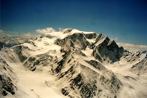 Mont Vélan Mountain, Switzerland19 km NW
-
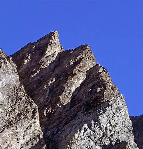
Bec d'Epicoune Mountain, Switzerland16 km N
-
Pointe d'Ayace Mountain, Val de Bagnes17 km N
-
Glacier de Crête Sèche Natural site, Val de Bagnes16 km N
-
Grand Epicoune Mountain, Val de Bagnes17 km N
-
Tête du Filon Mountain, Val de Bagnes17 km NW
Sources & licences
Data last updated: