- Elevation
- 3,346 m
- above sea level
- Local time
- UTC+01:00
- Europe/Rome · UTC+01:00
- Airports
- TRN Turin Airport83 km
- NCY Annecy Meythet airport97 km
About Mont Avril
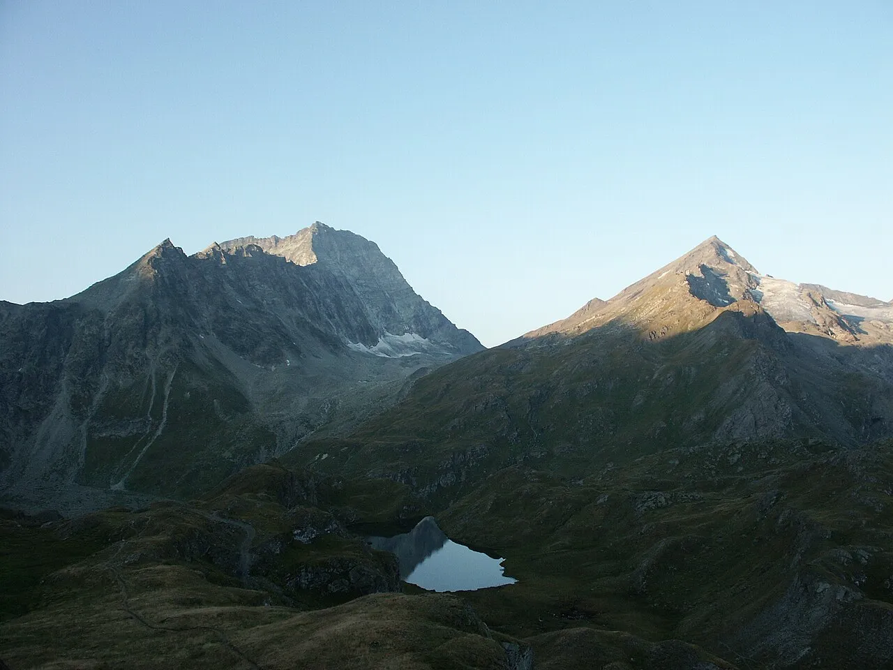
Mont Avril is a mountain. Location: Ollomont, Province of Aosta. Elevation: 3,346 m.
Mont Avril is a mountain of the Pennine Alps, located on the Swiss-Italian border. Its summit has an elevation of 3,347 metres above sea level and can be reached by a trail from the Fenêtre de Durand (2,800 m). Mont Avril is considered the smaller brother of Mont Gelé.
Source: Wikipedia · CC BY-SA 4.0
At a glance
- Topographic prominence
- 145 m
Source: Wikidata
Photos of Mont Avril
-

Franco56 · CC BY-SA 4.0 -

Franco56 · CC BY-SA 4.0 -
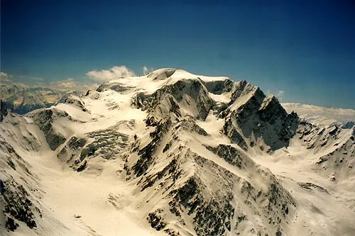
Mont Vélan Herzi Pinki · CC BY-SA 3.0


Climate of Mont Avril
This month · November
A wet month
Day -6° · Night -11° · Rain 106 mm
- Hottest month
- August (day 6°)
- Coldest month
- February (night -15°)
- Wettest month
- November (106 mm)
- Driest month
- July (68 mm)
Bars: average monthly low and high temperature. Below: precipitation. Monthly averages for 1970–2000 at about 18 km resolution, adjusted for elevation. Highlighted months are mild and relatively dry. Source: WorldClim 2.1 (CC BY 4.0).
Show values as a table
| Month | Jan | Feb | Mar | Apr | May | Jun | Jul | Aug | Sep | Oct | Nov | Dec |
|---|---|---|---|---|---|---|---|---|---|---|---|---|
| Average high (°C) | -10° | -10° | -9° | -7° | -2° | 1° | 5° | 6° | 3° | -2° | -6° | -8° |
| Average low (°C) | -15° | -15° | -15° | -13° | -8° | -5° | -1° | 0° | -3° | -6° | -11° | -14° |
| Precipitation (mm) | 96 | 94 | 98 | 95 | 93 | 77 | 68 | 77 | 72 | 94 | 106 | 97 |
How to get to Mont Avril
The nearest airport is Turin Airport (TRN), 83 km to the south as the crow flies. The nearest large city is Lausanne, 86 km to the northwest.
Airports
- Turin Airport (TRN) Caselle Torinese (TO) 83 kmsouth
- Annecy Meythet airport (NCY) Annecy 97 kmwest
- Geneva International Airport (GVA) Geneva 102 kmwest
Nearby large cities
- Lausanne Population: 139.1K 86 kmnorthwest
- Geneva Population: 201.7K 98 kmwest
- Bern Population: 121.6K 115 kmnorth
- Grenoble Population: 158.6K 151 kmsouthwest
- Besançon Population: 128.4K 180 kmnorthwest
Straight-line distances; road distances are longer. Airport data: OurAirports.
Day trips from Mont Avril
Within 100 km: 107 historic and cultural sites, 4,213 natural sites, 476 lakes, rivers and coasts.
0–25 km544 places
- Lac d'Orny Lake 23 kmNW
- Lac de Tsofeiret Lake 5 kmNE
- Grand Lé Lake 15 kmW
- Lac de Champex Lake 22 kmNW
25–60 km1,797 places
- Stausee Mattmark Lake 50 kmE
- Lac de Fully Lake 35 kmNW
- Lac de Derborence Lake 42 kmN
- Daubensee Lake 59 kmN
60–100 km2,455 places
- Strandbad Neuhaus Beach 92 kmNE
- Strandbad Manor Farm Beach 92 kmNE
- Strandbad Leissigen Beach 89 kmN
- Ile de Salagnon Island 68 kmNW
Straight-line distances.
Nearest towns and villages
Nearby attractions & nature
Everything nearby-
Tête du Filon Mountain, Val de Bagnes1.6 km W
-
Glacier de Fenêtre Natural site, Val de Bagnes1.5 km E
-
Glacier du Mont Durand Natural site, Val de Bagnes1.8 km NW
-
Pointe d'Ayace Mountain, Val de Bagnes2.6 km E
-
Glacier de Crête Sèche Natural site, Val de Bagnes2.6 km SE
-
Glacier de la Tsessette Natural site, Val de Bagnes2.6 km N
-
Tour de Boussine Mountain, Val de Bagnes2.8 km NW
-
Mont Durand Mountain, Val de Bagnes3.4 km NE
Sources & licences
Data last updated: · 2 independent sources