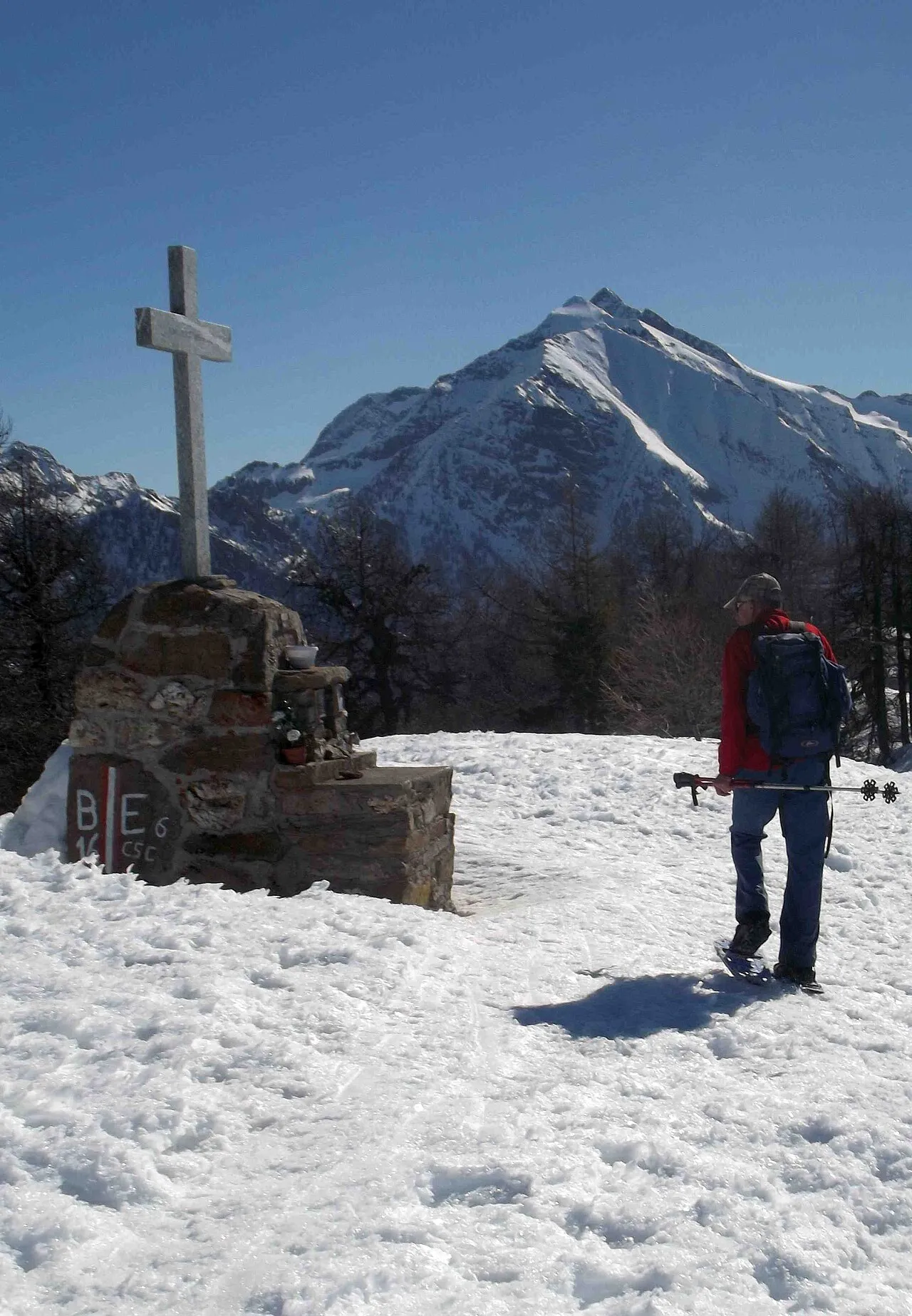
- Elevation
- 3,076 m
- above sea level
- Local time
- UTC+01:00
- Europe/Rome · UTC+01:00
- Airports
- TRN Turin Airport59 km
- MXP Milan Malpensa International Airport71 km
About Monte Nery
Monte Nery is a mountain. Location: Gaby, Province of Aosta. Elevation: 3,076 m.
Mont Néry (in Töitschu Neryschthuare - 3,075m) is a mountain of the Pennine Alps in Aosta Valley, northwestern Italy.
Source: Wikipedia · CC BY-SA 4.0
At a glance
- Topographic prominence
- 906 m
Source: Wikidata
Photos of Monte Nery
-

Francofranco56 · CC BY-SA 4.0 -
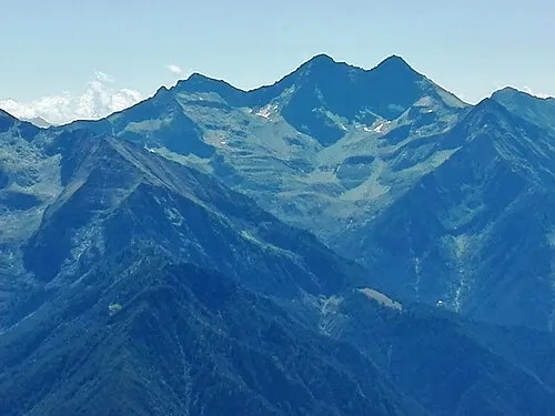
Becca di Vlou Francofranco56 · CC BY-SA 4.0 -
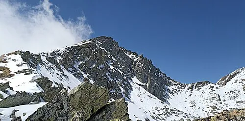
Mont Crabun Franco56 · CC BY-SA 4.0 -
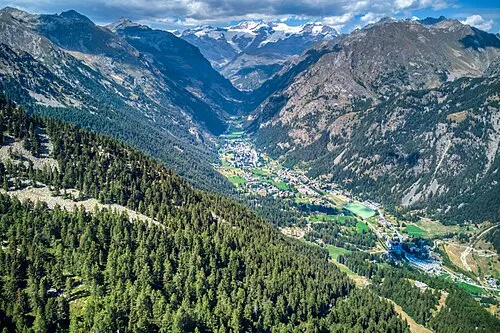
Val di Gressoney Hagai Agmon-Snir حچاي اچمون-سنير חגי אגמון-שניר · CC BY-SA 4.0


Climate of Monte Nery
This month · November
A cold month
Day -4° · Night -11° · Rain 82 mm
- Hottest month
- August (day 9°)
- Coldest month
- February (night -14°)
- Wettest month
- May (95 mm)
- Driest month
- July (59 mm)
Bars: average monthly low and high temperature. Below: precipitation. Monthly averages for 1970–2000 at about 18 km resolution, adjusted for elevation. Highlighted months are mild and relatively dry. Source: WorldClim 2.1 (CC BY 4.0).
Show values as a table
| Month | Jan | Feb | Mar | Apr | May | Jun | Jul | Aug | Sep | Oct | Nov | Dec |
|---|---|---|---|---|---|---|---|---|---|---|---|---|
| Average high (°C) | -7° | -7° | -5° | -3° | 2° | 6° | 9° | 9° | 5° | 1° | -4° | -7° |
| Average low (°C) | -14° | -14° | -13° | -11° | -7° | -3° | 0° | 0° | -3° | -7° | -11° | -13° |
| Precipitation (mm) | 70 | 69 | 76 | 85 | 95 | 76 | 59 | 73 | 69 | 93 | 82 | 70 |
How to get to Monte Nery
The nearest airport is Turin Airport (TRN), 59 km to the south as the crow flies. The nearest large city is Lausanne, 128 km to the northwest.
Airports
- Turin Airport (TRN) Caselle Torinese (TO) 59 kmsouth
- Milan Malpensa International Airport (MXP) Ferno (VA) 71 kmeast
- Lugano Airport (LUG) Agno 91 kmeast
Nearby large cities
- Lausanne Population: 139.1K 128 kmnorthwest
- Bern Population: 121.6K 140 kmnorth
- Geneva Population: 201.7K 141 kmnorthwest
- Grenoble Population: 158.6K 175 kmwest
- Zurich Population: 415.4K 192 kmnorth
Straight-line distances; road distances are longer. Airport data: OurAirports.
Day trips from Monte Nery
Within 100 km: 81 historic and cultural sites, 3,701 natural sites, 403 lakes, rivers and coasts.
0–25 km148 places
- Ludwigshöhe Mountain 23 kmN
- Pollux Mountain 24 kmN
- Castor Mountain 23 kmN
- Breithorn orientale Mountain 25 kmN
25–60 km1,160 places
- Stausee Mattmark Lake 37 kmN
- Innersts Seewji Lake 58 kmN
- Le Gouillé Vert Lake 60 kmNW
- Lac de Tsofeiret Lake 43 kmNW
60–100 km2,877 places
- Lago Nero Lake 99 kmNE
- Isole di Brissago Island 85 kmNE
- Sant' Apollinare Island 85 kmNE
- San Pancrazio Island 85 kmNE
Straight-line distances.
Nearest towns and villages
-
Pont Trenta Village, Gaby3.6 km E
-
Gaby Village, Gaby4.9 km E
-
Issime Municipality, Province of Aosta4.3 km SE
-
Zuino Village, Gaby4 km SE
-
Praz Village, Issime3.9 km SE
-
Ondre Tschossil Village, Gressoney-Saint-Jean3.9 km NE
Nearby attractions & nature
Everything nearby-
Punta di Soleron Mountain, Challand-Saint-Anselme1.4 km NW
-
Monte Voghel Mountain, Challand-Saint-Anselme2.8 km SW
-
Becca di Vlou Mountain, Challand-Saint-Anselme3.5 km SW
-
Val di Gressoney Natural site, Aosta Valley3.9 km N
-
Becca di Torche Mountain, Challand-Saint-Anselme3.9 km SW
-
Mont Crabun Mountain, Perloz6.5 km SW
-
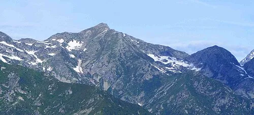 Monte Cresto Mountain, Sagliano Micca8.1 km SE
-
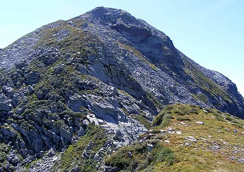 Monte Pietra Bianca Mountain, Issime8.7 km SE
Sources & licences
Data last updated: · 2 independent sources