Valtournenche
Located in Province of Aosta, Aosta Valley Coordinates: 45°52′34″ N 7°37′27″ E
- Population
- 2,291
- 2.3K
- Elevation
- 1,518 m
- above sea level
- Local time
- UTC+01:00
- Europe/Rome · UTC+01:00
- Places inside
- 21
- listed under Valtournenche
- Airports
- TRN Turin Airport75 km
- MXP Milan Malpensa International Airport90 km
About Valtournenche
Valtournenche is a municipality. Location: Province of Aosta, Aosta Valley. Population: 2,291. Elevation: 1,518 m. The best months to visit are July–August. The nearest airport is Turin Airport (75 km). Nearby sights include Tour de Créton and Punta di Fontanella.
Photos of Valtournenche
-
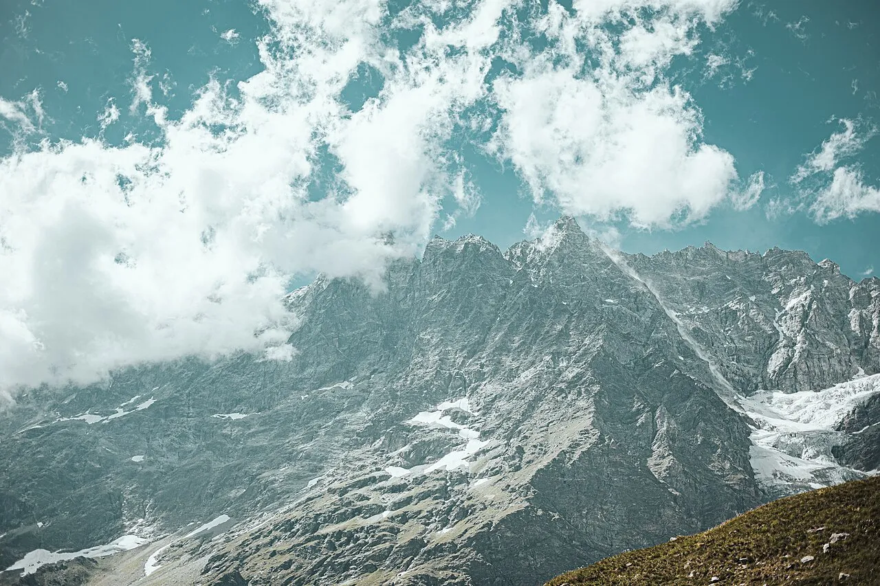
Punta Lioy Manuel Conrad · CC BY-SA 4.0 -
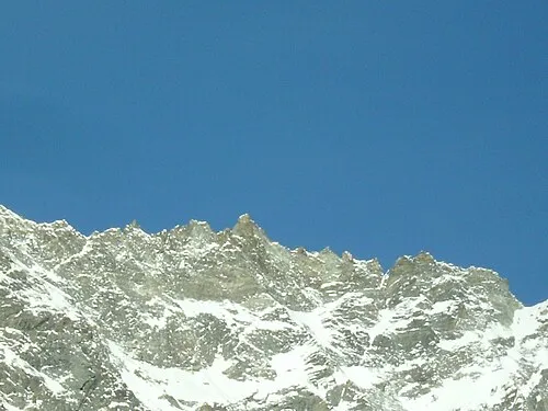
Punta Margherita SteGrifo27 · CC BY 3.0 -
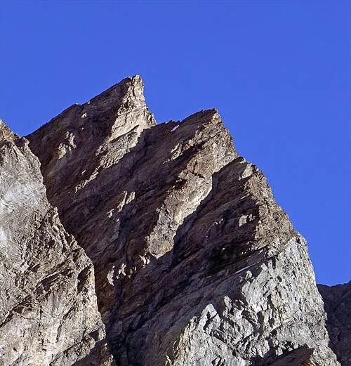
Punta Carrel Tiia Monto · CC BY-SA 4.0 -
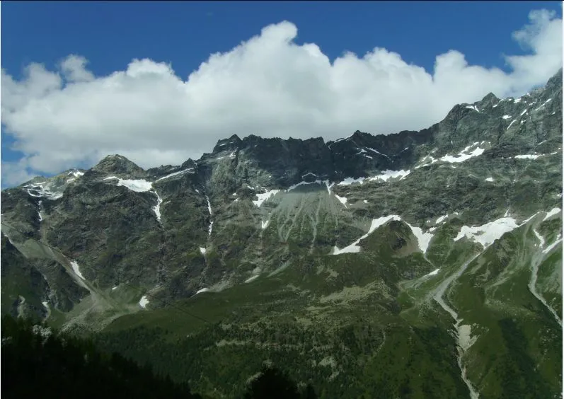
Tour de Créton SteGrifo · CC BY-SA 3.0 -
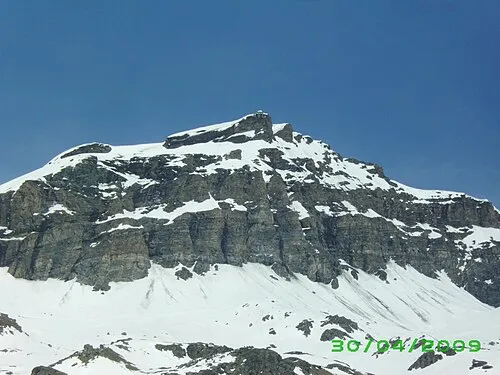
Furgggrat SteGrifo · CC BY-SA 3.0


Climate of Valtournenche
Best months for sightseeingBest months for sightseeing: July–August.
This month · November
A cold month
Day 6° · Night 1° · Rain 90 mm
- Hottest month
- August (day 18°)
- Coldest month
- February (night -4°)
- Wettest month
- November (90 mm)
- Driest month
- July (61 mm)
Bars: average monthly low and high temperature. Below: precipitation. Monthly averages for 1970–2000 at about 18 km resolution, adjusted for elevation. Highlighted months are mild and relatively dry. Source: WorldClim 2.1 (CC BY 4.0).
Show values as a table
| Month | Jan | Feb | Mar | Apr | May | Jun | Jul | Aug | Sep | Oct | Nov | Dec |
|---|---|---|---|---|---|---|---|---|---|---|---|---|
| Average high (°C) | 2° | 2° | 3° | 5° | 10° | 14° | 17° | 18° | 15° | 10° | 6° | 4° |
| Average low (°C) | -3° | -4° | -3° | -1° | 4° | 7° | 10° | 11° | 9° | 5° | 1° | -2° |
| Precipitation (mm) | 80 | 77 | 85 | 85 | 84 | 70 | 61 | 70 | 66 | 85 | 90 | 80 |
How to get to Valtournenche
The nearest airport is Turin Airport (TRN), 75 km to the south as the crow flies. The nearest large city is Lausanne, 104 km to the northwest.
Airports
- Turin Airport (TRN) Caselle Torinese (TO) 75 kmsouth
- Milan Malpensa International Airport (MXP) Ferno (VA) 90 kmeast
- Lugano Airport (LUG) Agno 101 kmeast
Nearby large cities
- Lausanne Population: 139.1K 104 kmnorthwest
- Geneva Population: 201.7K 120 kmwest
- Bern Population: 121.6K 120 kmnorth
- Grenoble Population: 158.6K 168 kmsouthwest
- Zurich Population: 415.4K 180 kmnortheast
Straight-line distances; road distances are longer. Airport data: OurAirports.
Day trips from Valtournenche
Within 100 km: 82 historic and cultural sites, 4,457 natural sites, 503 lakes, rivers and coasts.
0–25 km357 places
- Lac de Tsofeiret Lake 21 kmNW
- Gornergratsee Lake 17 kmNE
- Le Lac Bleu Lake 22 kmNW
- Stellisee Lake 20 kmNE
25–60 km1,720 places
- Stausee Mattmark Lake 32 kmNE
- Lac de Fully Lake 53 kmNW
- Lac de Derborence Lake 55 kmNW
- Daubensee Lake 60 kmN
60–100 km2,965 places
- Strandbad Neuhaus Beach 90 kmN
- Strandbad Manor Farm Beach 91 kmN
- Strandbad Leissigen Beach 87 kmN
- Strandbad Iseltwald Beach 97 kmN
Straight-line distances.
Places in Valtournenche
21 places- 1 Valtournenche 2.2K
- 2 Paquier 995
- 3 Breuil-Cervinia 753
- 4 Maen 176
- 5 Fontanaz-Valmartin 59
- 6 Singlin 44
- 7 Loz 41
- 8 Lago Bleu 40
- 9 Les Perreres Centrale 24
- 10 Bioley 8
- 11 Cheneil 8
Bar: population relative to the most populous place in this list.
Mountains & nature10
- Cresta Albertini · Mountain
- Furgggrat · Mountain
- Les Jumeaux · Mountain
- Monte Rous · Mountain
- Punta Budden · Mountain
- Punta Carrel · Mountain
- Punta Gastaldi · Mountain
- Punta Lioy · Mountain
- Punta Margherita · Mountain
- Punta Perazzi · Mountain
Nearby attractions & nature
Everything nearby-
Tour de Créton Mountain, Bionaz6.5 km NW
-
Punta di Fontanella Mountain, Bionaz6.4 km NW
-
Monte Dragone Mountain, Bionaz6.4 km NW
-
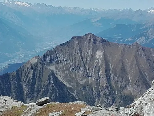 Monte Zerbion Mountain, Châtillon10 km S
-
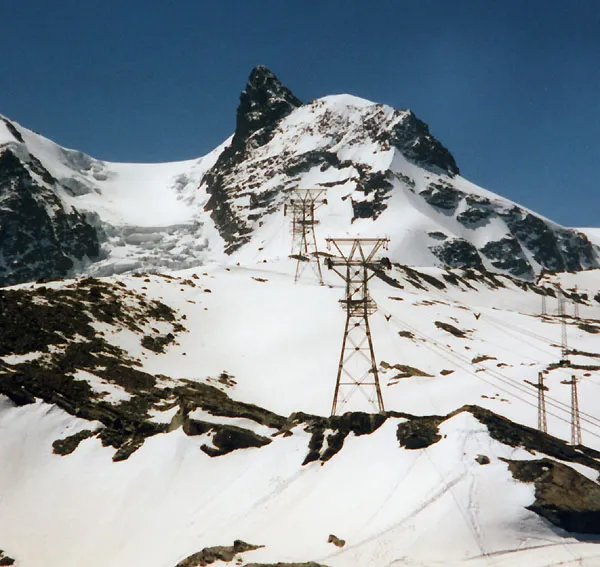 Klein Matterhorn Mountain, Zermatt11 km NE
-
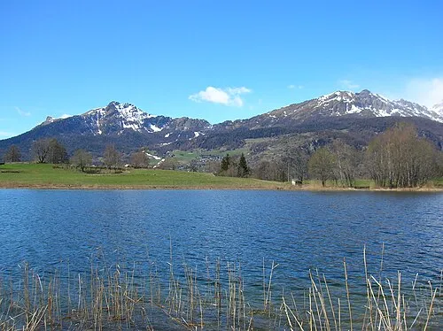 Becca d'Aver Mountain, Torgnon11 km SW
-
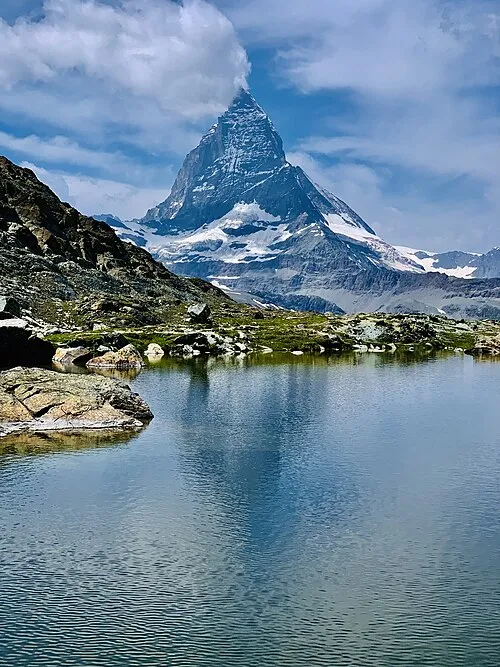 Matterhorn Mountain, Valais11 km N
-
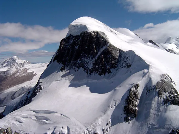 Breithorn Mountain, Zermatt12 km NE
Sources & licences
Data last updated: