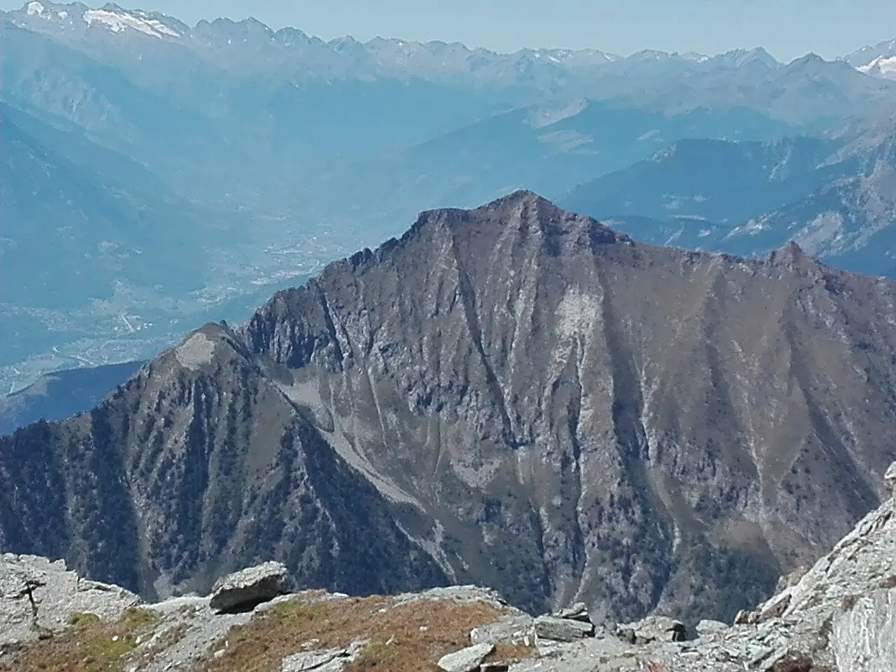
- Elevation
- 2,719 m
- above sea level
- Local time
- UTC+01:00
- Europe/Rome · UTC+01:00
- Airports
- TRN Turin Airport65 km
- MXP Milan Malpensa International Airport85 km
About Monte Zerbion
Monte Zerbion is a mountain. Location: Châtillon, Province of Aosta. Elevation: 2,719 m.
Mount Zerbion (French and officially: Mont Dzerbion, alternatively Mont Zerbion; Italian: Monte Zerbion; altitude 2,719 m) is a mountain of the Pennine Alps in Aosta Valley, Italy. It lies between the eastern Ayas Valley and the Valtournenche to the west.
Source: Wikipedia · CC BY-SA 4.0
At a glance
- Heritage designation
- Italian national heritage
- Topographic prominence
- 309 m
Source: Wikidata
Photos of Monte Zerbion
-

Fulvio Spada from Torino, Italy · CC BY-SA 2.0 -

DELL'ACQUA MAURIZIO · CC BY-SA 3.0 -

Alexis Courthoud · CC BY-SA 4.0 -

Ejovien · CC BY-SA 4.0 -

DELL'ACQUA MAURIZIO · CC BY-SA 3.0


Climate of Monte Zerbion
This month · November
A cold month
Day -3° · Night -10° · Rain 88 mm
- Hottest month
- July (day 12°)
- Coldest month
- January (night -13°)
- Wettest month
- May (96 mm)
- Driest month
- July (63 mm)
Bars: average monthly low and high temperature. Below: precipitation. Monthly averages for 1970–2000 at about 18 km resolution, adjusted for elevation. Highlighted months are mild and relatively dry. Source: WorldClim 2.1 (CC BY 4.0).
Show values as a table
| Month | Jan | Feb | Mar | Apr | May | Jun | Jul | Aug | Sep | Oct | Nov | Dec |
|---|---|---|---|---|---|---|---|---|---|---|---|---|
| Average high (°C) | -6° | -6° | -3° | 0° | 5° | 8° | 12° | 11° | 7° | 2° | -3° | -5° |
| Average low (°C) | -13° | -13° | -11° | -9° | -5° | -1° | 2° | 2° | -1° | -5° | -10° | -12° |
| Precipitation (mm) | 77 | 79 | 77 | 83 | 96 | 81 | 63 | 75 | 69 | 96 | 88 | 80 |
How to get to Monte Zerbion
The nearest airport is Turin Airport (TRN), 65 km to the south as the crow flies. The nearest large city is Lausanne, 114 km to the northwest.
Airports
- Turin Airport (TRN) Caselle Torinese (TO) 65 kmsouth
- Milan Malpensa International Airport (MXP) Ferno (VA) 85 kmeast
- Lugano Airport (LUG) Agno 100 kmeast
Nearby large cities
- Lausanne Population: 139.1K 114 kmnorthwest
- Geneva Population: 201.7K 126 kmwest
- Bern Population: 121.6K 130 kmnorth
- Grenoble Population: 158.6K 167 kmsouthwest
- Zurich Population: 415.4K 188 kmnorth
Straight-line distances; road distances are longer. Airport data: OurAirports.
Day trips from Monte Zerbion
Within 100 km: 83 historic and cultural sites, 4,085 natural sites, 431 lakes, rivers and coasts.
0–25 km179 places
- Gornergratsee Lake 24 kmN
- Theodulgletschersee Lake 21 kmN
- Riffelsee Lake 23 kmN
- Gornersee Lake 23 kmNE
25–60 km1,428 places
- Stausee Mattmark Lake 36 kmNE
- Innersts Seewji Lake 51 kmN
- Etang des Mouchys Lake 58 kmNW
- Illsee Lake 52 kmN
60–100 km2,992 places
- Strandbad Neuhaus Beach 100 kmN
- Strandbad Manor Farm Beach 100 kmN
- Strandbad Leissigen Beach 97 kmN
- Lago Nero Lake 100 kmNE
Straight-line distances.
Nearest towns and villages
-
Lignod Village, Ayas2.4 km NE
-
Ayas Municipality, Province of Aosta3.6 km NE
-
 Antagnod Village, Ayas3.6 km NE
-
 Extrepieraz Village, Brusson2.9 km E
-
Periasc Village, Ayas3.2 km NE
-
Saint-Vincent Municipality, Province of Aosta4.3 km S
Nearby attractions & nature
Everything nearby-
Mont Blan Mountain, Châtillon4 km SW
-
Valle di Ayas Natural site, Aosta Valley4.2 km NE
-
Saint Evence Mountain, Torgnon6.6 km W
-
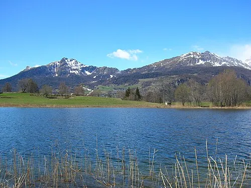 Becca d'Aver Mountain, Torgnon10 km W
-
Monte Obré Mountain, Emarèse8.4 km SE
-
Mont Lyan Mountain, Châtillon9.6 km S
-
Monte Barbeston Mountain, Châtillon11 km SW
-
Valle di Challant Natural site, Aosta Valley9.6 km SE
Sources & licences
Data last updated: · 2 independent sources