Matterhorn
Located in Valais, Switzerland Coordinates: 45°58′35″ N 7°39′31″ E

- Elevation
- 4,478 m
- above sea level
- Local time
- UTC+01:00
- Europe/Zurich · UTC+01:00
About Matterhorn
Matterhorn is a mountain. Location: Valais, Switzerland. Elevation: 4,478 m.
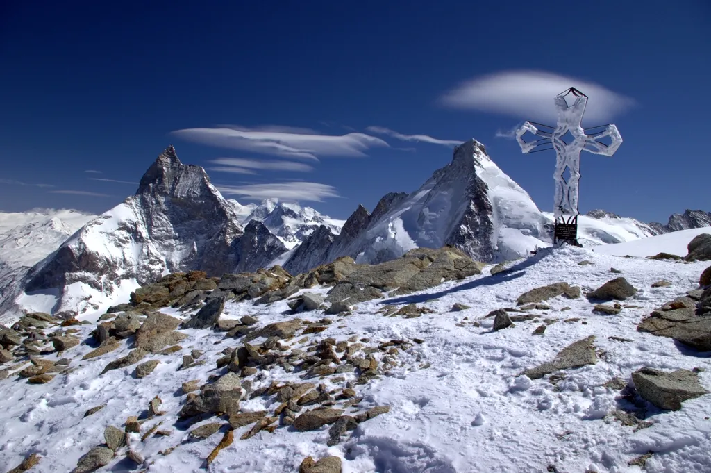
The Matterhorn is a mountain of the Alps, straddling the main watershed and border between Switzerland and Italy. It is a large, near-symmetric pyramidal peak in the extended Monte Rosa area of the Pennine Alps, whose summit is 4,478 metres (14,692 ft) above sea level, making it one of the highest summits in the Alps and Europe. Sometimes referred to as the "Mountain of Mountains" (German: Berg der Berge), the Matterhorn has become an indelible emblem of Switzerland and of the Alps as a whole.
Read more on Wikipedia Text: Wikipedia contributors · CC BY-SA 4.0 · shortened
At a glance
- Topographic prominence
- 1,043 m
Source: Wikidata
In comparison
- No. 8 of 7660 mountains in Switzerland by elevation
- 121 sights and natural places within 10 km Tiefmattengletscher, Colle del Breuil
Nearest towns and villages
-
Breuil-Cervinia Village, Valtournenche5.2 km SW
-
Zermatt Municipality, Visp District7.4 km E
-
Stafel Village, Zermatt4.1 km NE
-
Zermatt Town, Zermatt8.5 km NE
-
Lago Bleu Village, Valtournenche6.7 km SW
-
Valtournenche Municipality, Province of Aosta11 km S
Nearby attractions & nature
Everything nearby-
Tiefmattengletscher Natural site, Zermatt0.8 km NW
-
Colle del Breuil Mountain, Valais1 km SE
-
Matterhorngletscher Natural site, Zermatt1.1 km N
-
Furgggrat Mountain, Valtournenche2.8 km SE
-
Furgggletscher Natural site, Zermatt2.2 km SE
-
Punta Carrel Mountain, Valtournenche3.3 km W
-
Zmuttgletscher Natural site, Zermatt2.7 km NW
-
Cresta Albertini Mountain, Valtournenche3.8 km SW
More nature in Switzerland
-
 Tête Blanche Mountain, Evolène6.5 km W
-
Hirli Mountain, Zermatt3.3 km NE
-
Hörnli Mountain, Zermatt3.3 km NE
-
Unterer Blausatz Mountain, Zermatt3.8 km NW
-
Tiefmattengletscher Natural site, Zermatt3.3 km W
-
Gemsspitz Mountain, Zermatt3.9 km NW
Sources & licences
Data last updated: · 2 independent sources