Punta Romilla
Located in Val Masino, Province of Sondrio Coordinates: 46°15′24″ N 9°41′32″ E
- Elevation
- 2,332 m
- above sea level
- Local time
- UTC+01:00
- Europe/Rome · UTC+01:00
- Airports
- BGY Il Caravaggio International Airport65 km
- LUG Lugano Airport67 km
About Punta Romilla
Punta Romilla is a mountain. Location: Val Masino, Province of Sondrio. Elevation: 2,332 m. The nearest airport is Il Caravaggio International Airport (65 km). Nearby sights include Punta Temola and Pizzo dell' Averta.
Photos of Punta Romilla
-
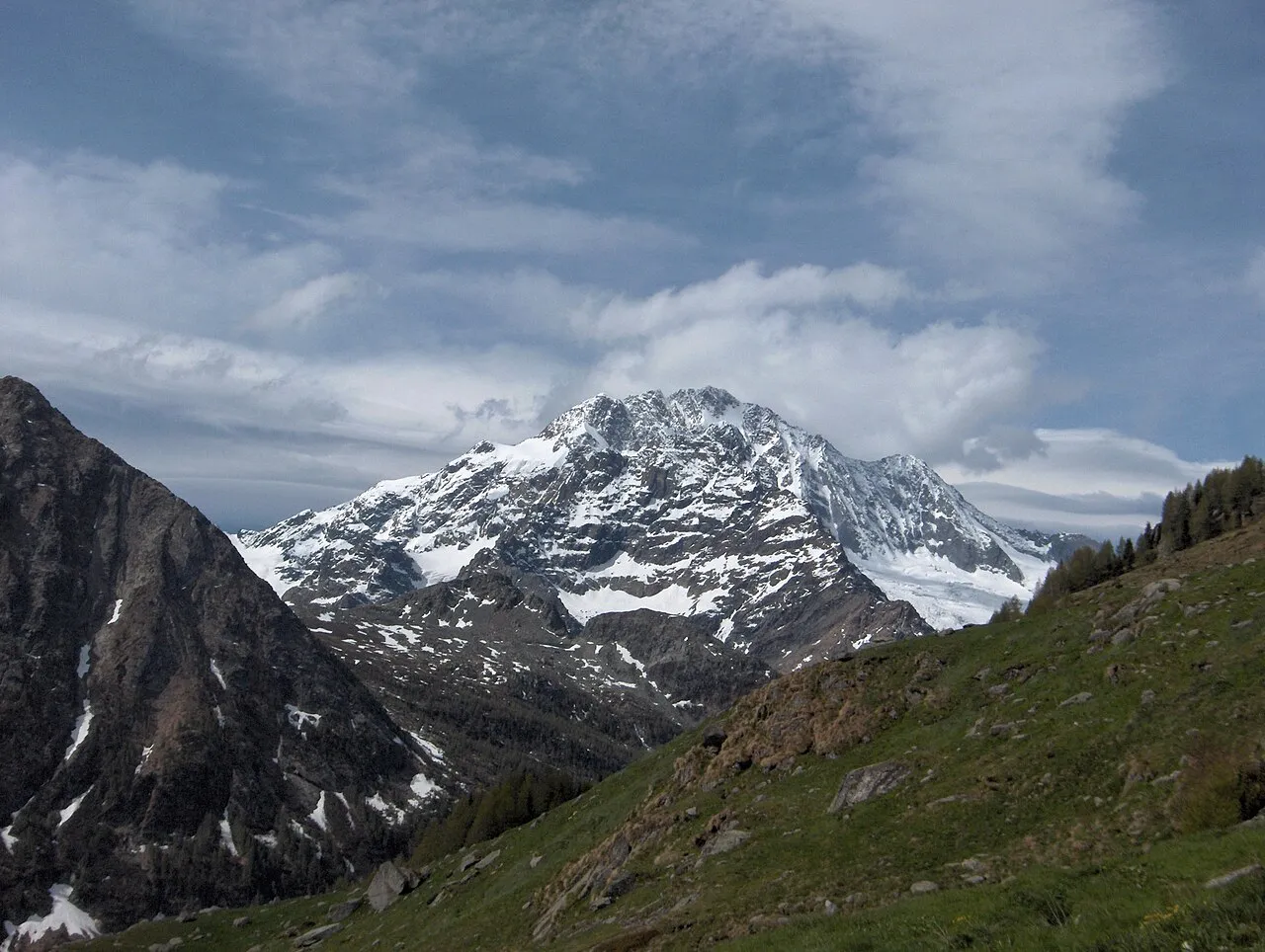
Monte Disgrazia Roberto Galbiati · CC BY-SA 3.0 -
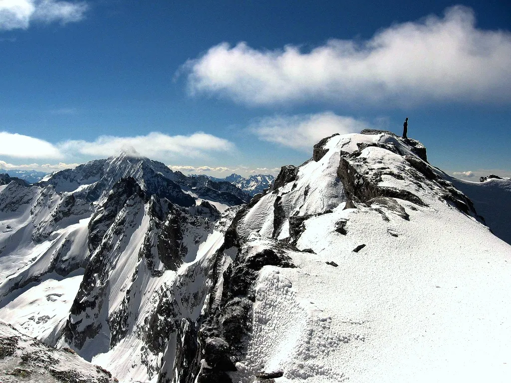
Cima di Castello Giac01 · Public domain -
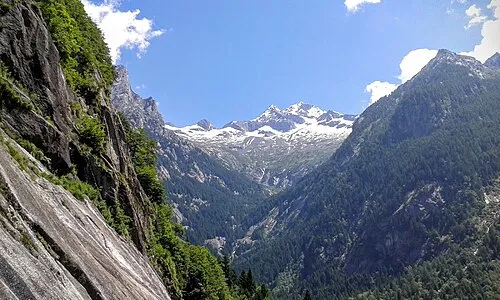
Monte Pioda Flavio Ciarrocchi · CC BY-SA 4.0 -
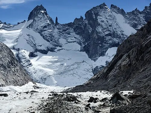
Torrone Orientale Zacharie Grossen · CC BY-SA 4.0 -
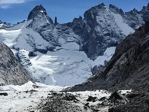
Torrone Centrale Zacharie Grossen · CC BY-SA 4.0


Climate of Punta Romilla
This month · November
A cold month
Day 0° · Night -8° · Rain 70 mm
- Hottest month
- July (day 12°)
- Coldest month
- February (night -12°)
- Wettest month
- August (102 mm)
- Driest month
- February (42 mm)
Bars: average monthly low and high temperature. Below: precipitation. Monthly averages for 1970–2000 at about 18 km resolution, adjusted for elevation. Highlighted months are mild and relatively dry. Source: WorldClim 2.1 (CC BY 4.0).
Show values as a table
| Month | Jan | Feb | Mar | Apr | May | Jun | Jul | Aug | Sep | Oct | Nov | Dec |
|---|---|---|---|---|---|---|---|---|---|---|---|---|
| Average high (°C) | -3° | -3° | -1° | 1° | 6° | 10° | 12° | 12° | 9° | 5° | 0° | -3° |
| Average low (°C) | -12° | -12° | -10° | -7° | -2° | 1° | 4° | 4° | 1° | -3° | -8° | -11° |
| Precipitation (mm) | 56 | 42 | 59 | 74 | 89 | 99 | 97 | 102 | 98 | 90 | 70 | 55 |
How to get to Punta Romilla
The nearest airport is Il Caravaggio International Airport (BGY), 65 km to the south as the crow flies. The nearest large city is Zurich, 151 km to the northwest.
Airports
- Il Caravaggio International Airport (BGY) Orio al Serio (BG) 65 kmsouth
- Lugano Airport (LUG) Agno 67 kmsouthwest
- Milano Linate Airport (LIN) Segrate (MI) 96 kmsouth
Nearby large cities
- Zurich Population: 415.4K 151 kmnorthwest
- Winterthur Population: 111.8K 157 kmnorthwest
- Innsbruck Population: 132.5K 172 kmnortheast
- Bern Population: 121.6K 188 kmnorthwest
- Basel Population: 177.6K 217 kmnorthwest
Straight-line distances; road distances are longer. Airport data: OurAirports.
Day trips from Punta Romilla
Within 100 km: 102 historic and cultural sites, 5,128 natural sites, 587 lakes, rivers and coasts.
0–25 km389 places
- Chaviolas Island 19 kmN
- Silvaplanersee Lake 23 kmN
- Lake Sils Lake 18 kmN
- Lägh da Cavloc Lake 14 kmN
25–60 km1,580 places
- Lajets Lake 27 kmN
- Lago di Poschiavo Lake 31 kmE
- Lej Languard Lake 32 kmNE
- Hahnensee Lake 26 kmNE
60–100 km3,848 places
- Spadalone Mountain 80 kmE
- Lago Nero Lake 91 kmW
- Isole di Brissago Island 75 kmW
- Sant' Apollinare Island 75 kmW
Straight-line distances.
Nearest towns and villages
-
San Martino Village, Val Masino5.2 km W
-
Cataeggio Village, Val Masino6.3 km SW
-
Val Masino Village, Val Masino6.2 km SW
-
Buglio in Monte Municipality, Province of Sondrio8.3 km S
-
Monastero Village, Berbenno di Valtellina8.4 km S
-
Villapinta Village, Buglio in Monte9.1 km S
Nearby attractions & nature
Everything nearby-
Punta Temola Mountain, Val Masino1.1 km SW
-
Pizzo dell' Averta Mountain, Val Masino1.2 km SE
-
Pizzo Basset Mountain, Val Masino1.5 km SE
-
Pizzo Vicima Mountain, Val Masino1.5 km SE
-
Pizzo della Remoluzza Mountain, Val Masino1.7 km E
-
Cresta Cecilia Mountain, Val Masino2 km E
-
Punta Mezzola Mountain, Val Masino2.1 km SW
-
Cima degli Alli Mountain, Val Masino2.1 km S
More nature in Italy
-
Cima di Castello Mountain, Val Masino5.1 km N
-
Torrone Orientale Mountain, Val Masino3.9 km N
-
Cima d'Arcanzo Mountain, Val Masino2.8 km SW
-
Torrone Centrale Mountain, Val Masino4.1 km N
-
Punta Rasica Mountain, Val Masino4.6 km N
-
Pizzo di Zocca Mountain, Val Masino4.9 km NW
Sources & licences
Data last updated: · 2 independent sources