Lombardy
Local name: Lombardia
Located in Italy Coordinates: 45°40′00″ N 9°30′00″ E
- Population
- 10,059,681
- 10.1M
- Elevation
- 238 m
- above sea level
- Local time
- UTC+01:00
- Europe/Rome · UTC+01:00
- Places inside
- 79
- listed under Lombardy
About Lombardy
Lombardy is a region. Location: Italy. Population: 10,059,681.
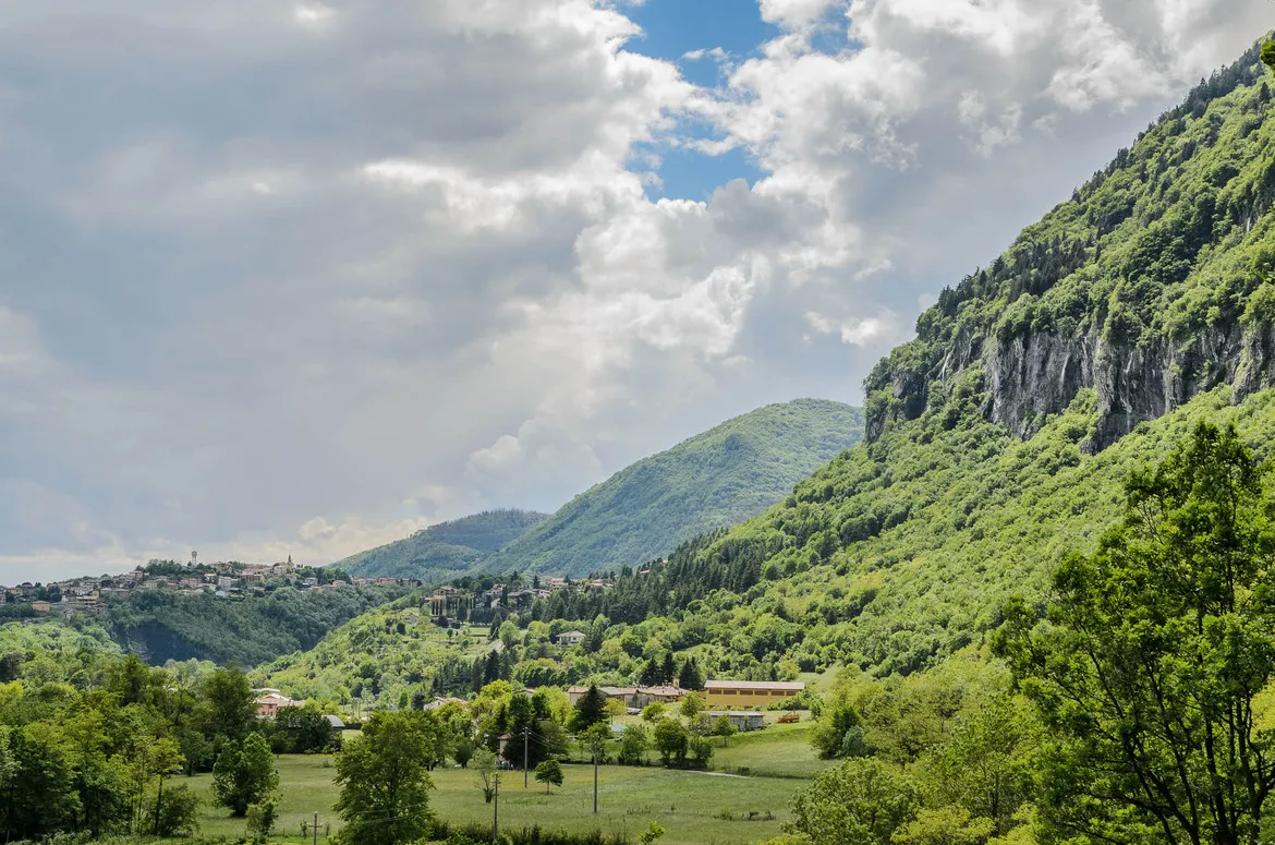
Lombardy (Lombard and Italian: Lombardia; Romansh: Lumbardia) is an administrative region of Italy that covers 23,844 km2 (9,206 sq mi); it is located in northern Italy and with a population of about 10 million is the most populous region, constituting more than one-sixth of Italy's population. Lombardy is located between the Alps mountain range and tributaries of the river Po, and includes Milan, its capital and largest city, whose metropolitan area is the largest in the country and among the largest in the EU.
Read more on Wikipedia Text: Wikipedia contributors · CC BY-SA 4.0 · shortened
At a glance
- Built
- 1948
- Area
- 23,864 km²
Source: Wikidata
In comparison
- Listed here: Mountain: 59, District: 12, Natural site: 8
Places in Lombardy
79 places-
Moton Mountain
-
Motto di Levén Mountain
-
Murtarous Mountain
-
Pizasc Mountain
-
Piz Cancan Mountain
-
Pizzo Scalino Mountain
-
Plan da l'Asen Mountain
-
Prato della Bascióta Mountain
-
Punta Cadini Mountain
-
Punta dal Dügüral Mountain
-
Punta di Maggiasone Mountain
-
Valassina Natural site
-
Val Bodengo Natural site
-
Valle Cavalline Natural site
-
Valle del Po Natural site
-
Valle Seriana Natural site
-
Val Listrea Natural site
-
Val Malenco Natural site
-
Valsassina Natural site
Largest cities and towns
-
Milan Municipality, Province of Milan1.4M
-
Brescia Municipality, Province of Brescia198.5K
-
Quarto Oggiaro Neighbourhood, Municipio 8182.1K
-
Varese Municipality, Province of Varese80.6K
-
Pavia Municipality, Province of Pavia73.1K
-
Como Municipality, Province of Como82.5K
-
Lecco Municipality, Province of Lecco48.3K
-
Busto Arsizio Municipality, Province of Varese83.6K
Nature and heritage in Lombardy
-
Monte Disgrazia Mountain, Buglio in Monte
-
Cima di Castello Mountain, Val Masino
-
Monte Maddalena Mountain, Brescia
-
Grignetta Mountain, Mandello del Lario
-
Punta San Matteo Mountain, Valfurva
-
Monte Pizzocolo Mountain, Toscolano-Maderno
Other regions in Italy
-
Province of Lecco District, Lombardy23 km N
-
 Liguria Region, Italy140 km S
-
Province of Bergamo District, Lombardy30 km NE
-
Province of Monza and Brianza District, Lombardy23 km W
-
Province of Milan District, Lombardy37 km SW
-
 Piedmont Region, Italy139 km SW
Sources & licences
Data last updated: · 2 independent sources