- Population
- 1,119,233
- 1.1M
- Elevation
- 942 m
- above sea level
- Local time
- UTC+01:00
- Europe/Rome · UTC+01:00
- Places inside
- 243
- listed under Province of Bergamo
- Airports
- BGY Il Caravaggio International Airport20 km
- LIN Milano Linate Airport59 km
About Province of Bergamo
Province of Bergamo is a district. Location: Lombardy, Italy. Population: 1,119,233. The best months to visit are June–August. The nearest airport is Il Caravaggio International Airport (20 km). Nearby sights include Valle Seriana and Valle Cavalline.
Photos of Province of Bergamo
-
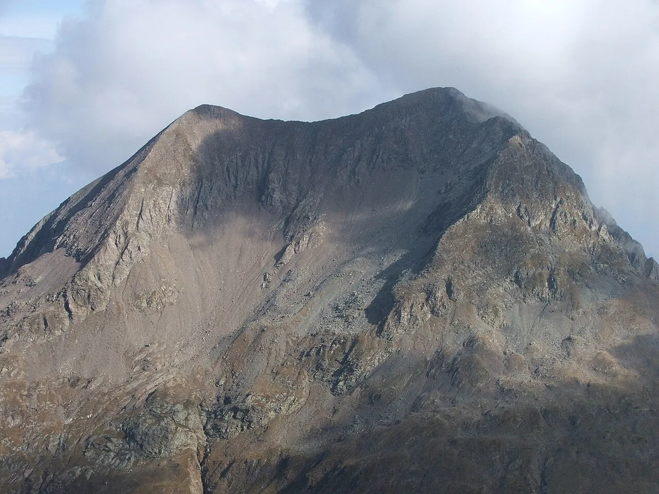
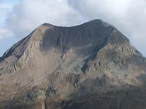
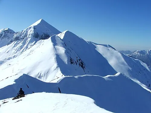
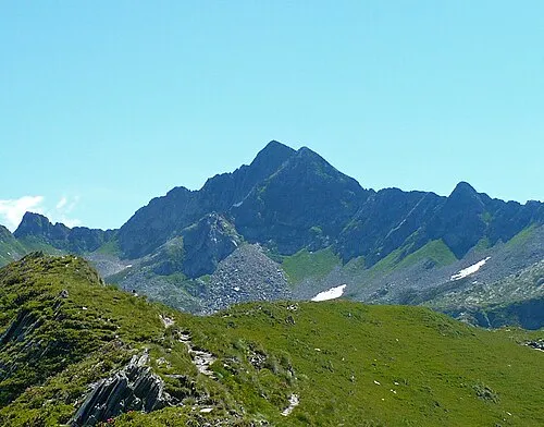
Monte Torena Wikimedia Commons · Public domain -
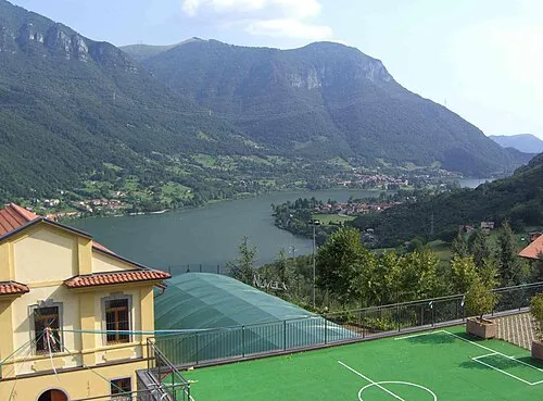
Monte Torrezzo Albertomos · Public domain -
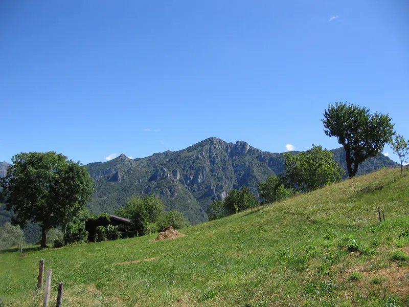
Monte Sornadello Giorces · CC BY 2.5 -
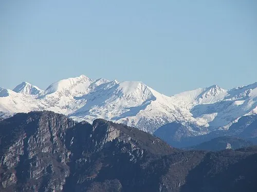
Corno Stella Orobicon, uploaded by Giorces · CC BY-SA 3.0 -
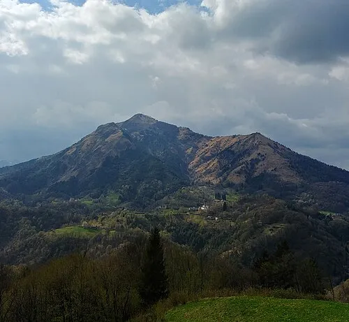
Monte Gioco MatthewGhera · CC BY 3.0


Climate of Province of Bergamo
Best months for sightseeingBest months for sightseeing: June–August.
This month · November
A cold month
Day 7° · Night -1° · Rain 77 mm
- Hottest month
- July (day 24°)
- Coldest month
- January (night -5°)
- Wettest month
- May (113 mm)
- Driest month
- February (41 mm)
Bars: average monthly low and high temperature. Below: precipitation. Monthly averages for 1970–2000 at about 18 km resolution, adjusted for elevation. Highlighted months are mild and relatively dry. Source: WorldClim 2.1 (CC BY 4.0).
Show values as a table
| Month | Jan | Feb | Mar | Apr | May | Jun | Jul | Aug | Sep | Oct | Nov | Dec |
|---|---|---|---|---|---|---|---|---|---|---|---|---|
| Average high (°C) | 3° | 5° | 9° | 12° | 17° | 21° | 24° | 23° | 19° | 13° | 7° | 3° |
| Average low (°C) | -5° | -4° | -1° | 2° | 7° | 10° | 13° | 13° | 9° | 5° | -1° | -4° |
| Precipitation (mm) | 62 | 41 | 65 | 81 | 113 | 109 | 92 | 99 | 112 | 111 | 77 | 55 |
How to get to Province of Bergamo
The nearest airport is Il Caravaggio International Airport (BGY), 20 km to the south as the crow flies. The nearest large city is Zurich, 196 km to the northwest.
Airports
- Il Caravaggio International Airport (BGY) Orio al Serio (BG) 20 kmsouth
- Milano Linate Airport (LIN) Segrate (MI) 59 kmsouthwest
- Brescia Gabriele d'Annunzio Airport (VBS) Montichiari (BS) 61 kmsoutheast
Nearby large cities
- Zurich Population: 415.4K 196 kmnorthwest
- Innsbruck Population: 132.5K 200 kmnortheast
- Winterthur Population: 111.8K 203 kmnorthwest
- Bern Population: 121.6K 219 kmnorthwest
- Lausanne Population: 139.1K 256 kmwest
Straight-line distances; road distances are longer. Airport data: OurAirports.
Day trips from Province of Bergamo
Within 100 km: 89 historic and cultural sites, 2,282 natural sites, 263 lakes, rivers and coasts.
0–25 km19 places
- Monte Bronzone Mountain 20 kmSE
- Monte Torrezzo Mountain 15 kmSE
- Monte Sornadello Mountain 15 kmW
- Corno Stella Mountain 25 kmN
25–60 km396 places
- Lago di Poschiavo Lake 55 kmNE
- Laghet d'Ur Lake 55 kmN
- Laghetto dei Rossi Lake 59 kmN
- Lagh dal Mat Lake 49 kmNE
60–100 km2,219 places
- Spadalone Mountain 79 kmNE
- Dosso Rotondo Mountain 92 kmE
- Isole di Brissago Island 89 kmW
- Sant' Apollinare Island 89 kmNW
Straight-line distances.
Places in Province of Bergamo
243 places- 1 Bergamo 121.6K
- 2 Treviglio 30.1K
- 3 Seriate 25.4K
- 4 Dalmine 23.6K
- 5 Romano di Lombardia 20.6K
- 6 Albino 17.8K
- 7 Caravaggio 16.3K
- 8 Alzano Lombardo 13.7K
- 9 Stezzano 13.2K
- 10 Osio Sotto 12.6K
- 11 Ponte San Pietro 11.6K
- 12 Nembro 11.5K
- 13 Cologno al Serio 11.2K
- 14 Treviolo 10.9K
- 15 Martinengo 10.6K
- 16 Castelli Calepio 10.4K
- 17 Bonate Sopra 10.1K
- 18 Scanzorosciate 10K
- 19 Urgnano 10K
- 20 Trescore Balneario 9.8K
- 21 Sorisole 9.1K
- 22 Costa Volpino 9.1K
- 23 Zogno 8.9K
- 24 Torre Boldone 8.8K
- 25 Zanica 8.7K
- 26 Clusone 8.6K
- 27 Brembate 8.6K
- 28 Calusco d'Adda 8.3K
- 29 Albano Sant'Alessandro 8.3K
- 30 Villongo 8.2K
- 31 Capriate San Gervasio 8.2K
- 32 Verdello 8.1K
- 33 Terno d'Isola 8.1K
- 34 Fara Gera d'Adda 8K
- 35 Brembate di Sopra 7.9K
- 36 Azzano San Paolo 7.6K
- 37 Verdellino 7.6K
- 38 Curno 7.5K
- 39 Mozzo 7.5K
- 40 Grumello del Monte 7.4K
- 41 Mapello 6.8K
- 42 Ponteranica 6.8K
- 43 Villa di Serio 6.8K
- 44 Sarnico 6.8K
- 45 Bonate Sotto 6.7K
- 46 Villa d'Almè 6.7K
- 47 Gorle 6.5K
- 48 Grassobbio 6.5K
- 49 Cisano Bergamasco 6.3K
- 50 Bolgare 6.3K
- 51 Almenno San Bartolomeo 6.3K
- 52 Boltiere 6.2K
- 53 Ghisalba 6.2K
- 54 Chiuduno 6.1K
- 55 Pedrengo 6K
- 56 Calcinate 6K
- 57 Brignano Gera d'Adda 6K
- 58 Ranica 6K
- 59 San Paolo d'Argon 5.8K
- 60 Spirano 5.8K
Bar: population relative to the most populous place in this list.
Nature and heritage in Province of Bergamo
Nearby attractions & nature
Everything nearby-
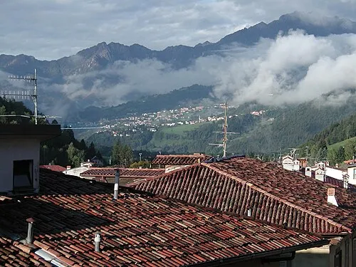 Valle Seriana Natural site, Lombardy13 km NE
-
Valle Cavalline Natural site, Lombardy13 km SE
Sources & licences
Data last updated: