- Population
- 36,958
- 37K
- Elevation
- 289 m
- above sea level
- Local time
- UTC+01:00
- Europe/Rome · UTC+01:00
- Places inside
- 15
- listed under Chieri
- Airports
- TRN Turin Airport25 km
- CUF Cuneo International Airport54 km
About Chieri
Chieri is a municipality. Location: Province of Turin, Piedmont. Population: 36,958. Elevation: 289 m. The best months to visit are June, September. The nearest airport is Turin Airport (25 km). Nearby sights include Basilica of Superga and Palazzo Carignano.
Climate of Chieri
Best months for sightseeingBest months for sightseeing: June, September.
This month · November
A cold month
Day 11° · Night 3° · Rain 52 mm
- Hottest month
- July (day 28°)
- Coldest month
- January (night -1°)
- Wettest month
- May (121 mm)
- Driest month
- December (35 mm)
Bars: average monthly low and high temperature. Below: precipitation. Monthly averages for 1970–2000 at about 18 km resolution, adjusted for elevation. Highlighted months are mild and relatively dry. Source: WorldClim 2.1 (CC BY 4.0).
Show values as a table
| Month | Jan | Feb | Mar | Apr | May | Jun | Jul | Aug | Sep | Oct | Nov | Dec |
|---|---|---|---|---|---|---|---|---|---|---|---|---|
| Average high (°C) | 7° | 9° | 13° | 16° | 21° | 25° | 28° | 27° | 23° | 17° | 11° | 7° |
| Average low (°C) | -1° | 0° | 4° | 7° | 11° | 15° | 18° | 17° | 14° | 9° | 3° | 0° |
| Precipitation (mm) | 39 | 39 | 54 | 91 | 121 | 88 | 52 | 77 | 69 | 83 | 52 | 35 |
How to get to Chieri
The nearest airport is Turin Airport (TRN), 25 km to the northwest as the crow flies. The nearest large city is Nice, 152 km to the south.
Airports
- Turin Airport (TRN) Caselle Torinese (TO) 25 kmnorthwest
- Cuneo International Airport (CUF) Levaldigi (CN) 54 kmsouth
- Milan Malpensa International Airport (MXP) Ferno (VA) 99 kmnortheast
Nearby large cities
- Nice Population: 342.7K 152 kmsouth
- Grenoble Population: 158.6K 167 kmwest
- Geneva Population: 201.7K 186 kmnorthwest
- Lausanne Population: 139.1K 191 kmnorthwest
- Bern Population: 121.6K 217 kmnorth
Straight-line distances; road distances are longer. Airport data: OurAirports.
Day trips from Chieri
Within 100 km: 32 historic and cultural sites, 579 natural sites, 65 lakes, rivers and coasts.
0–25 km14 places
- Basilica of Superga Attraction 9 kmNW
- Gran Madre di Dio Attraction 11 kmNW
- Monte dei Cappuccini Attraction 11 kmNW
- San Filippo Neri Attraction 12 kmNW
25–60 km20 places
- Punta Bruta Mountain 59 kmW
- Briccas Mountain 60 kmSW
- Monte Pietraborga Mountain 32 kmW
- Monte San Giorgio Mountain 30 kmW
60–100 km642 places
- Corno Rosso Mountain 84 kmN
- Cresta Rossa Mountain 88 kmN
- Monte Bieteron Mountain 85 kmN
- Punta Berretta del Vescovo Mountain 83 kmN
Straight-line distances.
Places in Chieri
15 places- 1 Chieri 36.7K
- 2 Pessione 1.3K
- 3 Livorna 106
- 4 Tetti Canarone 72
- 5 Gioncheto 70
- 6 Falcettini 66
- 7 Mosi 63
- 8 Airali 54
- 9 Tetti Fasano 37
- 10 Fortemaggiore 31
- 11 Tetti Cochis 27
- 12 Monza 26
- 13 Tetti Borri 26
- 14 Fontaneto 18
- 15 Bonafous 15
Bar: population relative to the most populous place in this list.
Nearby attractions & nature
Everything nearby-
 Basilica of Superga Attraction, Torino8.6 km NW
-
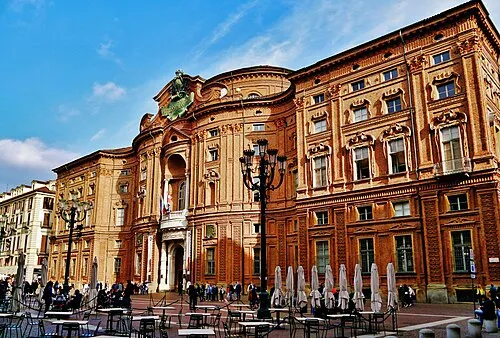 Palazzo Carignano Historic site, Centro - Crocetta12 km NW
-
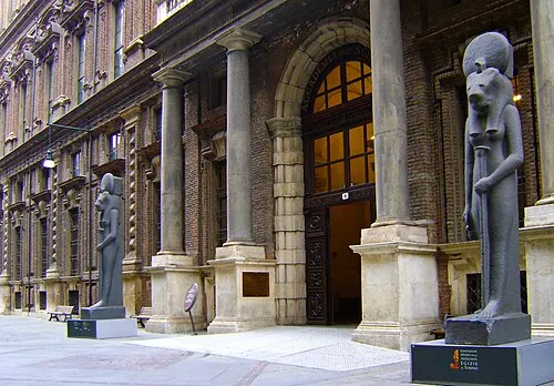 Museo Egizio Museum, Centro - Crocetta12 km NW
-
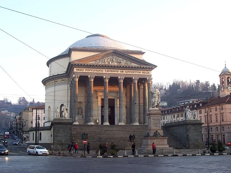 Gran Madre di Dio Attraction, San Salvario - Cavoretto - Borgo Po - Nizza Millefonti - Lingotto - Filadelfia11 km NW
-
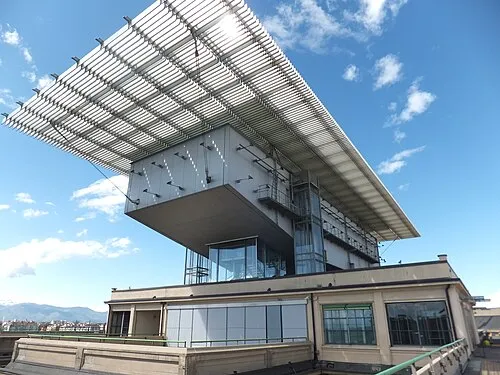 Pinacoteca Giovanni e Marella Agnelli Museum, San Salvario - Cavoretto - Borgo Po - Nizza Millefonti - Lingotto - Filadelfia12 km W
-
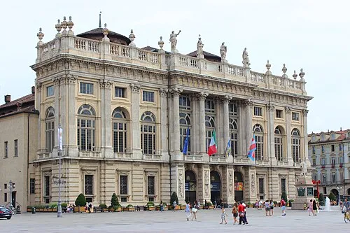 Palazzo Madama Historic site, Centro - Crocetta12 km NW
-
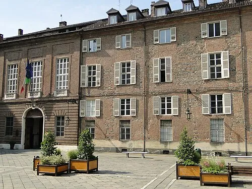 Palazzo Chiablese Historic site, Centro - Crocetta13 km NW
-
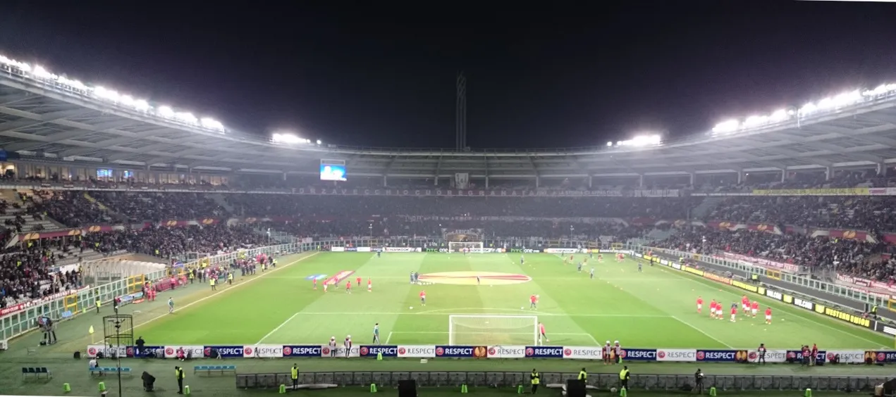 Stadio Olimpico Grande Torino Landmark, Santa Rita - Mirafiori14 km W
Sources & licences
Data last updated: