- Population
- 146,785
- 146.8K
- Elevation
- 116 m
- above sea level
- Local time
- UTC+01:00
- Europe/Rome · UTC+01:00
- Places inside
- 87
- listed under Province of Oristano
- Airports
- AHO Alghero-Fertilia Airport78 km
- CAG Cagliari Elmas Airport89 km
About Province of Oristano
Province of Oristano is a district. Location: Sardinia, Italy. Population: 146,785. The best months to visit are May–June, October. The nearest airport is Alghero-Fertilia Airport (78 km).
Photos of Province of Oristano
-
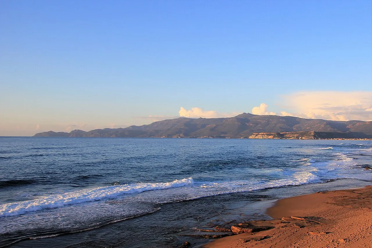
Compultitu Gianni Careddu · CC BY-SA 4.0 -
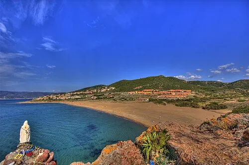
Spiaggia di Porto Alabe zoomion.ch · CC BY-SA 3.0 -
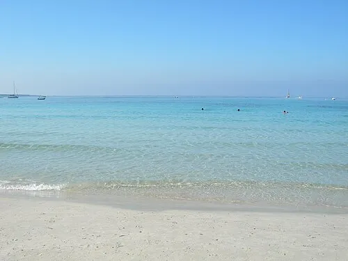
Spiaggia Putzu Idu Andrea Perino · CC BY 3.0 -
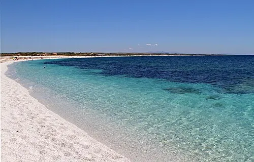
Spiaggia di Mari Ermi Carlo Pelagalli · CC BY-SA 3.0 -
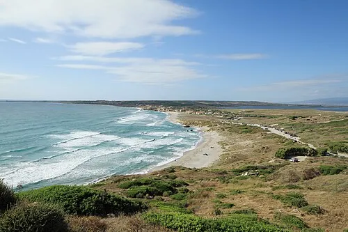
Spiaggia di San Giovanni di Sinis trolvag · CC BY-SA 3.0


Climate of Province of Oristano
Best months for sightseeingBest months for sightseeing: May–June, October.
This month · November
A wet month
Day 17° · Night 10° · Rain 108 mm
- Hottest month
- August (day 31°)
- Coldest month
- January (night 6°)
- Wettest month
- November (108 mm)
- Driest month
- July (6 mm)
Bars: average monthly low and high temperature. Below: precipitation. Monthly averages for 1970–2000 at about 18 km resolution, adjusted for elevation. Highlighted months are mild and relatively dry. Source: WorldClim 2.1 (CC BY 4.0).
Show values as a table
| Month | Jan | Feb | Mar | Apr | May | Jun | Jul | Aug | Sep | Oct | Nov | Dec |
|---|---|---|---|---|---|---|---|---|---|---|---|---|
| Average high (°C) | 13° | 13° | 15° | 18° | 22° | 27° | 31° | 31° | 27° | 23° | 17° | 14° |
| Average low (°C) | 6° | 7° | 8° | 10° | 13° | 17° | 20° | 20° | 17° | 14° | 10° | 7° |
| Precipitation (mm) | 72 | 79 | 64 | 62 | 39 | 25 | 6 | 11 | 38 | 83 | 108 | 97 |
How to get to Province of Oristano
The nearest airport is Alghero-Fertilia Airport (AHO), 78 km to the northwest as the crow flies. For international flights: Cagliari Elmas Airport (CAG) (89 km).
Airports
- Alghero-Fertilia Airport (AHO) Alghero 78 kmnorthwest
- Cagliari Elmas Airport (CAG) Cagliari 89 kmsouth
- Olbia Costa Smeralda Airport (OLB) Olbia (SS) 119 kmnortheast
Straight-line distances; road distances are longer. Airport data: OurAirports.
Day trips from Province of Oristano
Within 100 km: 8 historic and cultural sites, 159 natural sites, 79 lakes, rivers and coasts.
0–25 km56 places
- Spiaggia di Torregrande Beach 22 kmSW
- Spiaggia di Sa Capanna Beach 22 kmW
- Spiaggia di Santa Caterina Beach 23 kmNW
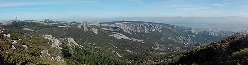
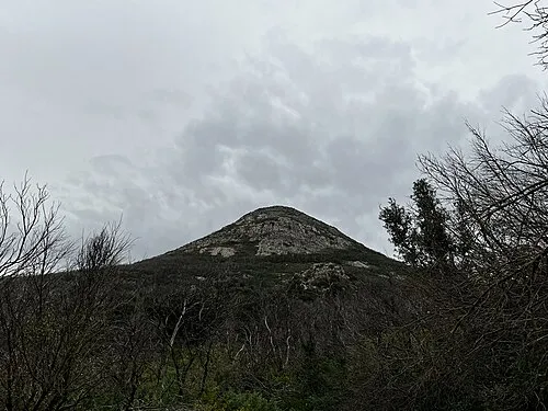
- Monte Tusorgia Mountain 23 kmE
25–60 km38 places
- Compultitu Beach 41 kmNW
- Spiaggia di Porto Alabe Beach 33 kmNW
- Spiaggia Putzu Idu Beach 28 kmW
- Spiaggia di S'Arena Scoada Beach 27 kmW
60–100 km152 places
- Poetto Beach 98 kmS
- Poetto Beach Beach 97 kmSE
- Calabona Beach 68 kmNW
- Spiaggia di Calamosca Beach 99 kmS
Straight-line distances.
Places in Province of Oristano
87 places- 61 Mogorella 442
- 62 Flussio 436
- 63 Aidomaggiore 431
- 64 Assolo 371
- 65 Allai 364
- 66 Sorradile 360
- 67 Siapiccia 348
- 68 Nureci 347
- 69 Villa Sant'Antonio 347
- 70 Asuni 328
- 71 Simala 311
- 72 Villa Verde 309
- 73 Villanova Truschedu 304
- 74 Curcuris 298
- 75 Pau 295
- 76 Pompu 249
- 77 Albagiara 248
- 78 Tinnura 241
- 79 Siris 228
- 80 Sagama 198
- 81 Sennariolo 180
- 82 Boroneddu 158
- 83 Modolo 156
- 84 Tadasuni 142
- 85 Bidonì 138
- 86 Soddì 120
- 87 Baradili 82
Bar: population relative to the most populous place in this list.
Nature and heritage in Province of Oristano
Sources & licences
Data last updated: