Becco di Mezzodi
Located in Trentino-Alto Adige, Italy Coordinates: 46°28′00″ N 12°06′52″ E
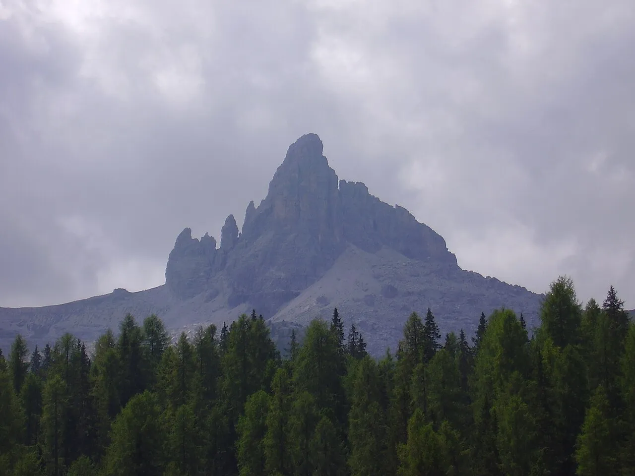
- Elevation
- 2,603 m
- above sea level
- Local time
- UTC+01:00
- Europe/Rome · UTC+01:00
- Airports
- BZO Bolzano Airport61 km
- TSF Treviso Airport91 km
About Becco di Mezzodi
Becco di Mezzodi is a mountain. Location: Trentino-Alto Adige, Italy. Elevation: 2,603 m.
Becco di Mezzodì (2,603m) is a mountain of the Croda da Lago chain, a small mountain group in the central Dolomites. It is located above the resort of Cortina d'Ampezzo in Belluno, northern Italy. The mountain's name means Midday Peak in the local dialect, as the sun appears directly above the peak at midday from Cortina. The climb usually starts from the Refuge Croda da Lago on the road to the Giau Pass. Climbing gear and slings are required.
Source: Wikipedia · CC BY-SA 4.0
Photos of Becco di Mezzodi
-

Gnopera83 · CC BY-SA 4.0 -

Yreen · CC BY-SA 4.0 -

Gnopera83 · CC BY-SA 4.0 -

El-turbio · CC BY-SA 4.0 -

Micaela Petroni · CC BY-SA 4.0


Climate of Becco di Mezzodi
This month · November
A cold month
Day -3° · Night -9° · Rain 82 mm
- Hottest month
- July (day 11°)
- Coldest month
- February (night -13°)
- Wettest month
- July (143 mm)
- Driest month
- January (45 mm)
Bars: average monthly low and high temperature. Below: precipitation. Monthly averages for 1970–2000 at about 18 km resolution, adjusted for elevation. Highlighted months are mild and relatively dry. Source: WorldClim 2.1 (CC BY 4.0).
Show values as a table
| Month | Jan | Feb | Mar | Apr | May | Jun | Jul | Aug | Sep | Oct | Nov | Dec |
|---|---|---|---|---|---|---|---|---|---|---|---|---|
| Average high (°C) | -7° | -6° | -3° | 0° | 5° | 9° | 11° | 11° | 8° | 3° | -3° | -6° |
| Average low (°C) | -13° | -13° | -10° | -8° | -3° | 1° | 3° | 3° | 0° | -4° | -9° | -12° |
| Precipitation (mm) | 45 | 47 | 59 | 74 | 110 | 130 | 143 | 135 | 106 | 95 | 82 | 48 |
How to get to Becco di Mezzodi
The nearest airport is Bolzano Airport (BZO), 61 km to the west as the crow flies. For international flights: Treviso Airport (TSF) (91 km). The nearest large city is Innsbruck, 104 km to the northwest.
Airports
- Bolzano Airport (BZO) Bolzano (BZ) 61 kmwest
- Treviso Airport (TSF) Treviso (TV) 91 kmsouth
- Innsbruck Airport (INN) Innsbruck 106 kmnorthwest
Nearby large cities
- Innsbruck Population: 132.5K 104 kmnorthwest
- Salzburg Population: 157.2K 164 kmnortheast
- Klagenfurt Population: 100.3K 169 kmeast
- Ljubljana Population: 272.2K 190 kmeast
- Munich Population: 1.5M 190 kmnorth
Straight-line distances; road distances are longer. Airport data: OurAirports.
Day trips from Becco di Mezzodi
Within 100 km: 65 historic and cultural sites, 2,890 natural sites, 320 lakes, rivers and coasts.
0–25 km204 places
- Nemesis Mountain 11 kmNW
- Sasso di Valfredda Mountain 22 kmW
- Tofana di Mezzo Mountain 10 kmN
- Tofana di Dentro Mountain 11 kmN
25–60 km878 places
- Sille River 43 kmNE
- Piz Gralba Mountain 25 kmW
- Piz Miara Mountain 25 kmW
- Croda Nera Mountain 26 kmW
60–100 km2,193 places
- Fürlegsee Lake 83 kmNE
- Vorderer Langtalsee Lake 78 kmNE
- Eissee Lake 70 kmN
- Brandlsee Lake 99 kmNE
Straight-line distances.
Nearest towns and villages
-
Pescul Village, Selva di Cadore4.4 km SW
-
Santa Fosca Village, Selva di Cadore4.8 km SW
-
Selva di Cadore Village, Selva di Cadore4.8 km W
-
L'Andria Village, Selva di Cadore4.8 km SW
-
Selva di Cadore Municipality, Province of Belluno6 km W
-
Bernart Village, Selva di Cadore5.2 km SW
Nearby attractions & nature
Everything nearby-
La Rocchetta Mountain, Trentino-Alto Adige0.9 km SE
-
Cima d'Ambrizzola Mountain, Veneto1.9 km NW
-
Monte Formin Mountain, San Vito di Cadore2.9 km W
-
Valle Dortie Natural site, Veneto3.5 km NE
-
Monte Cernera Mountain, Selva di Cadore4.2 km W
-
Croda Marcora Mountain, Cortina d'Ampezzo6.4 km NE
-
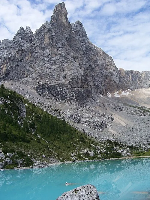 Punta Sorapis Mountain, Trentino-Alto Adige8.7 km NE
-
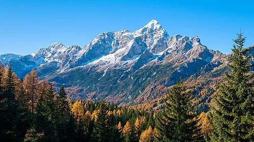 Monte Civetta Mountain, Province of Belluno11 km SW
More nature in Italy
-
Monte Coldai Mountain, Trentino-Alto Adige8.2 km SW
-
Croda Marcora Mountain, Trentino-Alto Adige8.3 km NE
-
Punta Taiola Mountain, Trentino-Alto Adige8.7 km E
-
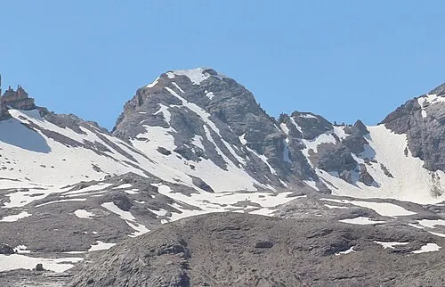 Monte Casale Mountain, Mareo13 km NW
-
Torre Coldai Mountain, Trentino-Alto Adige9.1 km SW
-
Torre di Alleghe Mountain, Trentino-Alto Adige9.3 km SW
Sources & licences
Data last updated: · 2 independent sources