- Elevation
- 2,973 m
- above sea level
- Local time
- UTC+01:00
- Europe/Rome · UTC+01:00
- Airports
- INN Innsbruck Airport48 km
- BZO Bolzano Airport68 km
About Pfaffennock
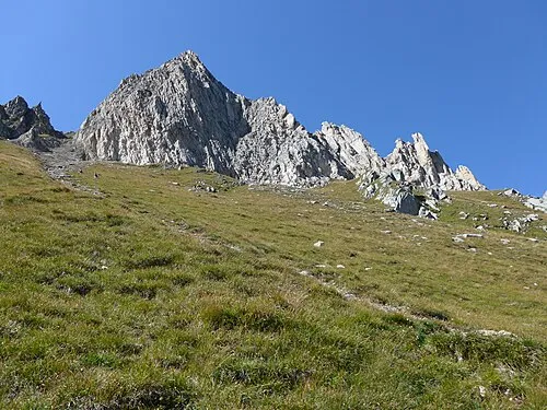
Pfaffennock is a mountain. Location: Ahrntal, South Tyrol. Elevation: 2,973 m. The nearest airport is Innsbruck Airport (48 km). Nearby sights include Weisse Wand and Äusserer Sattelnock.
Photos of Pfaffennock
-
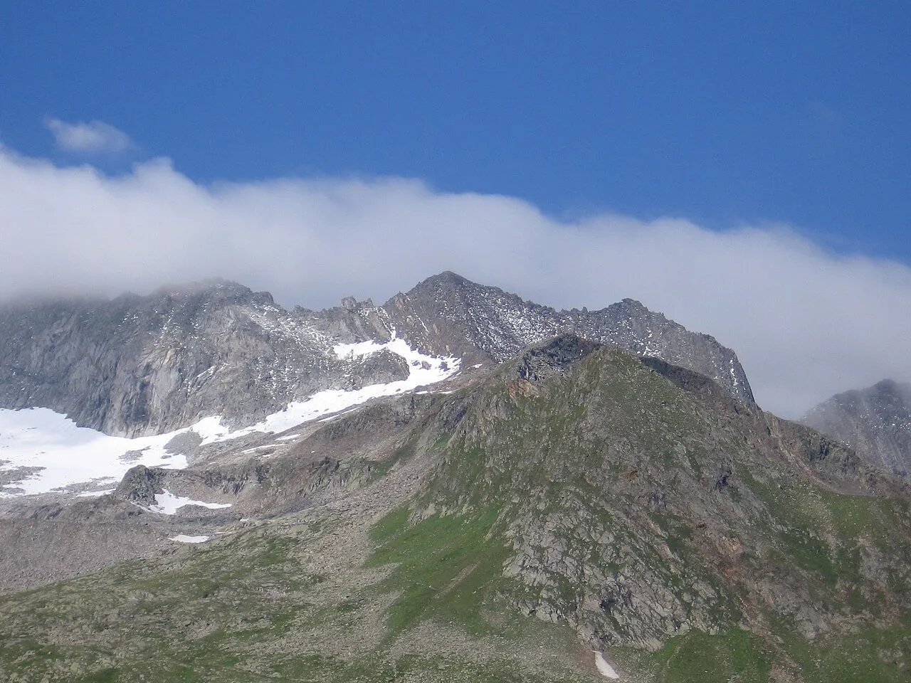
Schönbichler Horn Schlesinger · CC BY-SA 3.0 -
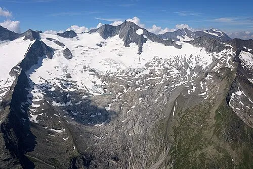
Großer Möseler Carsten Steger · CC BY-SA 4.0 -
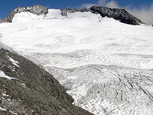
Hoher Weißzint Svickova · Public domain -
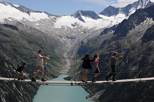
Dosso Largo böhringer friedrich · CC BY-SA 2.5 -
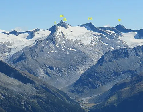
IV. Hornspitze Stefan.straub · CC BY-SA 4.0


Climate of Pfaffennock
This month · November
A cold month
Day -5° · Night -11° · Rain 90 mm
- Hottest month
- July (day 8°)
- Coldest month
- February (night -15°)
- Wettest month
- July (145 mm)
- Driest month
- February (59 mm)
Bars: average monthly low and high temperature. Below: precipitation. Monthly averages for 1970–2000 at about 18 km resolution, adjusted for elevation. Highlighted months are mild and relatively dry. Source: WorldClim 2.1 (CC BY 4.0).
Show values as a table
| Month | Jan | Feb | Mar | Apr | May | Jun | Jul | Aug | Sep | Oct | Nov | Dec |
|---|---|---|---|---|---|---|---|---|---|---|---|---|
| Average high (°C) | -9° | -8° | -6° | -3° | 2° | 5° | 8° | 8° | 5° | 1° | -5° | -8° |
| Average low (°C) | -15° | -15° | -13° | -10° | -5° | -2° | 0° | 0° | -2° | -6° | -11° | -13° |
| Precipitation (mm) | 62 | 59 | 79 | 89 | 106 | 133 | 145 | 133 | 98 | 85 | 90 | 68 |
How to get to Pfaffennock
The nearest airport is Innsbruck Airport (INN), 48 km to the northwest as the crow flies. The nearest large city is Innsbruck, 46 km to the northwest.
Airports
- Innsbruck Airport (INN) Innsbruck 48 kmnorthwest
- Bolzano Airport (BZO) Bolzano (BZ) 68 kmsouthwest
- Salzburg Airport (SZG) Salzburg 128 kmnortheast
Nearby large cities
- Innsbruck Population: 132.5K 46 kmnorthwest
- Salzburg Population: 157.2K 131 kmnortheast
- Munich Population: 1.5M 131 kmnorth
- Augsburg Population: 301.1K 170 kmnorthwest
- Klagenfurt Population: 100.3K 194 kmeast
Straight-line distances; road distances are longer. Airport data: OurAirports.
Day trips from Pfaffennock
Within 100 km: 146 historic and cultural sites, 4,324 natural sites, 810 lakes, rivers and coasts.
0–25 km416 places
- Wild See Lake 20 kmW
- Torseen Lake 24 kmNW
- Juns See Lake 23 kmNW
- Brennersee Lake 24 kmW
25–60 km1,317 places
- Sille River 52 kmSE
- Piz Gralba Mountain 50 kmS
- Piz Miara Mountain 50 kmS
- Croda Nera Mountain 60 kmS
60–100 km3,547 places
- Bayerisches Oberland Mountain 83 kmNW
- Fürlegsee Lake 64 kmE
- Vorderer Langtalsee Lake 74 kmE
- Wildsee Lake 61 kmNW
Straight-line distances.
Nearest towns and villages


Nearby attractions & nature
Everything nearby-
Weisse Wand Mountain, Ahrntal0.3 km SW
-
Äusserer Sattelnock Mountain, Ahrntal0.6 km N
-
Gamslahnernock Mountain, Ahrntal0.8 km SW
-
Innerer Sattelnock Mountain, Ahrntal1 km N
-
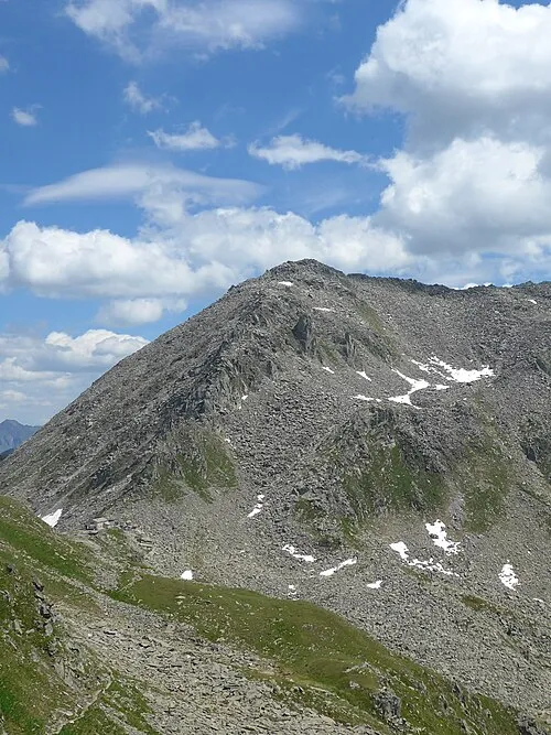 Schaflahnernock Mountain, Selva dei Molini/Mühlwald2.1 km S
-
Krannerschneid Mountain, Ahrntal2.2 km SE
-
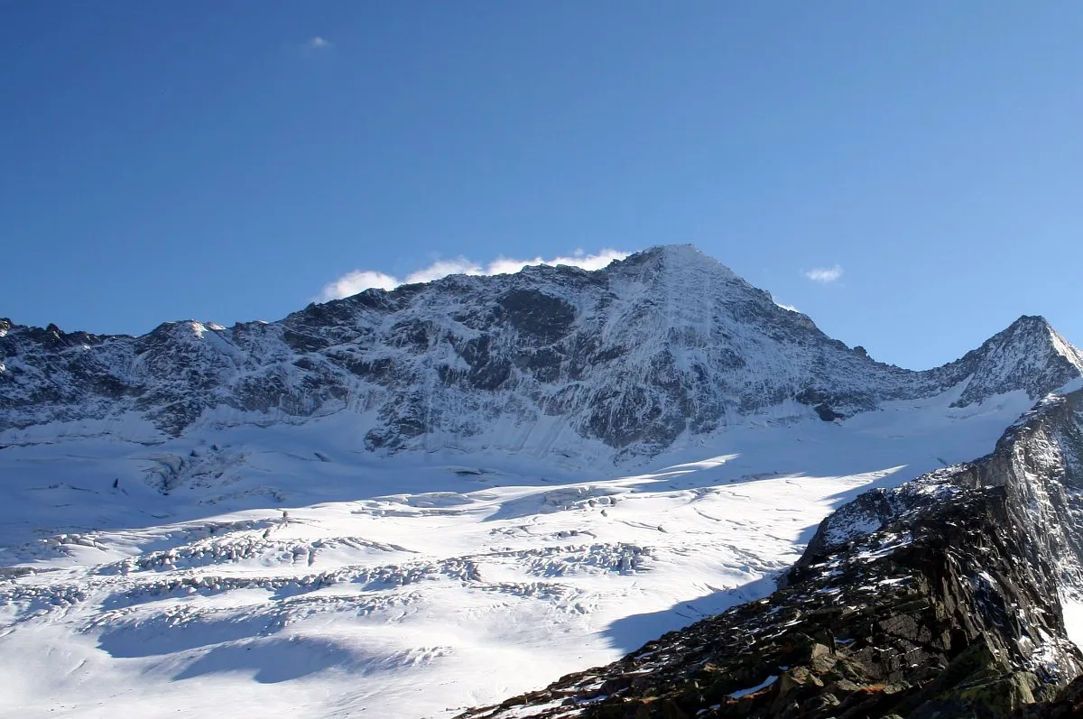 Rossruggspitze Mountain, Selva dei Molini/Mühlwald2.5 km N
-
Gelenknock Mountain, Ahrntal2.2 km NE
More nature in Italy
-
Äusserer Grüne Platte Mountain, Ahrntal2.5 km NE
-
V. Hornspitze Mountain, Ahrntal2.9 km NE
-
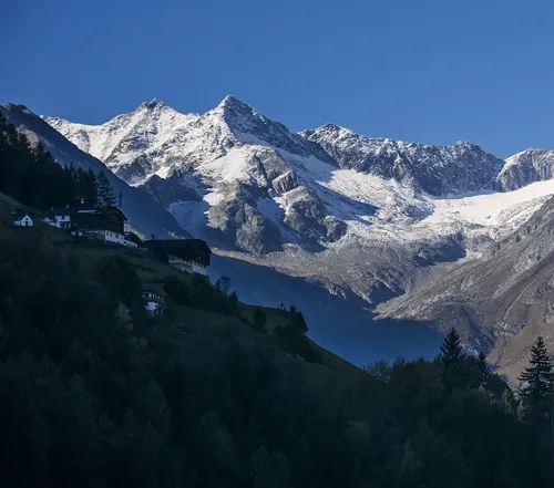 I. Hornspitze Mountain, Ahrntal4.4 km NE
-
 Cima dei Covoni Mountain, Ahrntal2.9 km S
-
Breiter Kopf Mountain, Ahrntal4 km NE
-
Scharhaggen Mountain, Ahrntal4 km NE
Sources & licences
Data last updated: · 2 independent sources