- Elevation
- 2,362 m
- above sea level
- Local time
- UTC+01:00
- Europe/Rome · UTC+01:00
- Airports
- INN Innsbruck Airport59 km
- BZO Bolzano Airport77 km
About Sattelnock
Sattelnock is a mountain. Location: Ahrntal, South Tyrol. Elevation: 2,362 m. The nearest airport is Innsbruck Airport (59 km). Nearby sights include Rauch Kofel and Klausnock.
Photos of Sattelnock
-
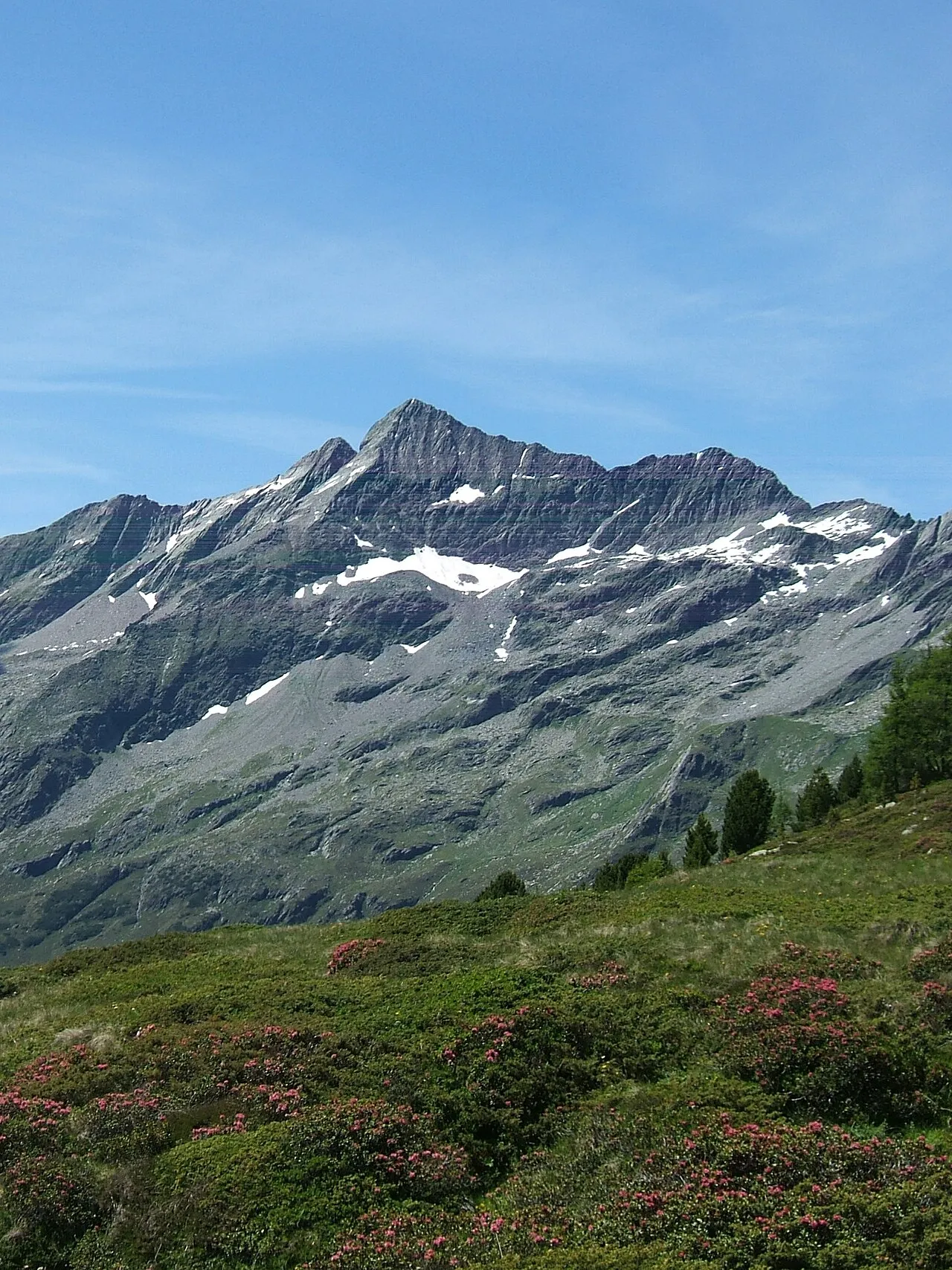
Durreck Cactus26 · CC BY-SA 3.0 -
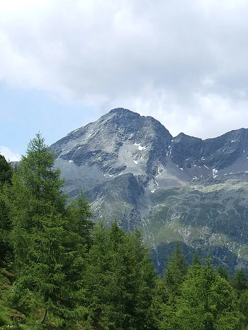
Picco Palù Cactus26 · CC BY-SA 3.0 -
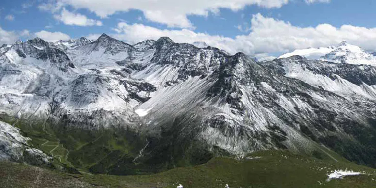
Ochsenlenke Fipsinger · CC BY-SA 3.0 -
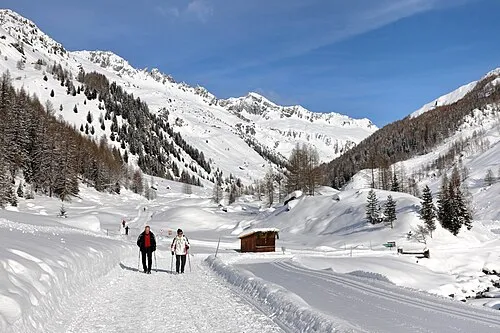
Ahrntal C.Stadler/Bwag · CC BY-SA 4.0 -
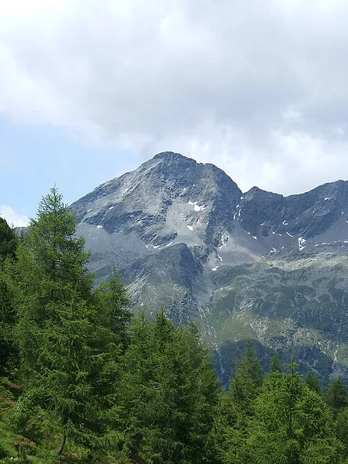
Großer Moosstock Cactus26 · CC BY-SA 3.0


Climate of Sattelnock
This month · November
A wet month
Day -1° · Night -7° · Rain 101 mm
- Hottest month
- July (day 12°)
- Coldest month
- February (night -11°)
- Wettest month
- July (157 mm)
- Driest month
- February (67 mm)
Bars: average monthly low and high temperature. Below: precipitation. Monthly averages for 1970–2000 at about 18 km resolution, adjusted for elevation. Highlighted months are mild and relatively dry. Source: WorldClim 2.1 (CC BY 4.0).
Show values as a table
| Month | Jan | Feb | Mar | Apr | May | Jun | Jul | Aug | Sep | Oct | Nov | Dec |
|---|---|---|---|---|---|---|---|---|---|---|---|---|
| Average high (°C) | -5° | -5° | -2° | 1° | 6° | 9° | 12° | 12° | 9° | 5° | -1° | -4° |
| Average low (°C) | -11° | -11° | -9° | -6° | -2° | 2° | 4° | 4° | 2° | -2° | -7° | -9° |
| Precipitation (mm) | 70 | 67 | 89 | 99 | 117 | 141 | 157 | 144 | 107 | 95 | 101 | 77 |
How to get to Sattelnock
The nearest airport is Innsbruck Airport (INN), 59 km to the northwest as the crow flies. The nearest large city is Innsbruck, 56 km to the northwest.
Airports
- Innsbruck Airport (INN) Innsbruck 59 kmnorthwest
- Bolzano Airport (BZO) Bolzano (BZ) 77 kmsouthwest
- Salzburg Airport (SZG) Salzburg 119 kmnortheast
Nearby large cities
- Innsbruck Population: 132.5K 56 kmnorthwest
- Salzburg Population: 157.2K 121 kmnortheast
- Munich Population: 1.5M 134 kmnorth
- Augsburg Population: 301.1K 176 kmnorthwest
- Klagenfurt Population: 100.3K 180 kmeast
Straight-line distances; road distances are longer. Airport data: OurAirports.
Day trips from Sattelnock
Within 100 km: 150 historic and cultural sites, 4,311 natural sites, 816 lakes, rivers and coasts.
0–25 km502 places
- Unterer Gerlossee Lake 24 kmNE
- Oberseitsee Lake 21 kmE
- Bödensee Lake 22 kmE
- Obersee Lake 18 kmSE
25–60 km1,483 places
- Sille River 39 kmSE
- Piz Gralba Mountain 52 kmS
- Piz Miara Mountain 52 kmS
- Fürlegsee Lake 50 kmE
60–100 km3,292 places
- Bayerisches Oberland Mountain 90 kmNW
- Croda Nera Mountain 62 kmS
- Wildsee Lake 73 kmNW
- Brandlsee Lake 65 kmNE
Straight-line distances.
Nearest towns and villages
-
Valle Aurina - Ahrntal Town, Ahrntal3.2 km NW
-
 Cadipietra Village, Ahrntal3.2 km NW
-
Am Wollbach-Quadra Village, Ahrntal3.6 km N
-
 San Giovanni Village, Ahrntal4.6 km W
-
Costa Molini Village, Ahrntal3.8 km NW
-
Steger Aue Village, Ahrntal3.9 km NW
Nearby attractions & nature
Everything nearby-
Rauch Kofel Mountain, Campo Tures/Sand in Taufers1.4 km S
-
Klausnock Mountain, Ahrntal1.5 km SE
-
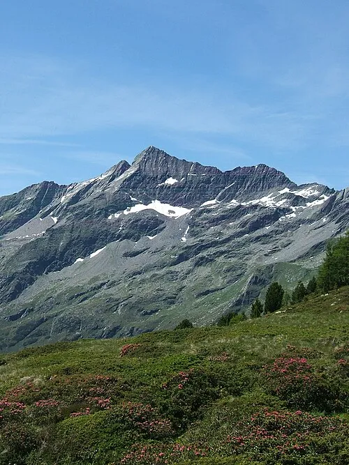 Durreck Mountain, Campo Tures/Sand in Taufers2.5 km SE
-
Hochfeld Mountain, Ahrntal1.9 km NE
-
Campalto Mountain, Ahrntal2 km NE
-
Großer Moosstock Mountain, Rein in Taufers2.8 km SE
-
Pojenspitze Mountain, Ahrntal2.7 km SW
-
Zintnock Mountain, Campo Tures/Sand in Taufers2.8 km S
Sources & licences
Data last updated: · 2 independent sources