- Elevation
- 1,584 m
- above sea level
- Local time
- UTC+01:00
- Europe/Rome · UTC+01:00
- Airports
- INN Innsbruck Airport66 km
- BZO Bolzano Airport79 km
About Val del Rio
Val del Rio is a natural site. Location: Trentino-Alto Adige, Italy. The nearest airport is Innsbruck Airport (66 km). Nearby sights include Zwölfernock and Stutennock.
Photos of Val del Rio
-
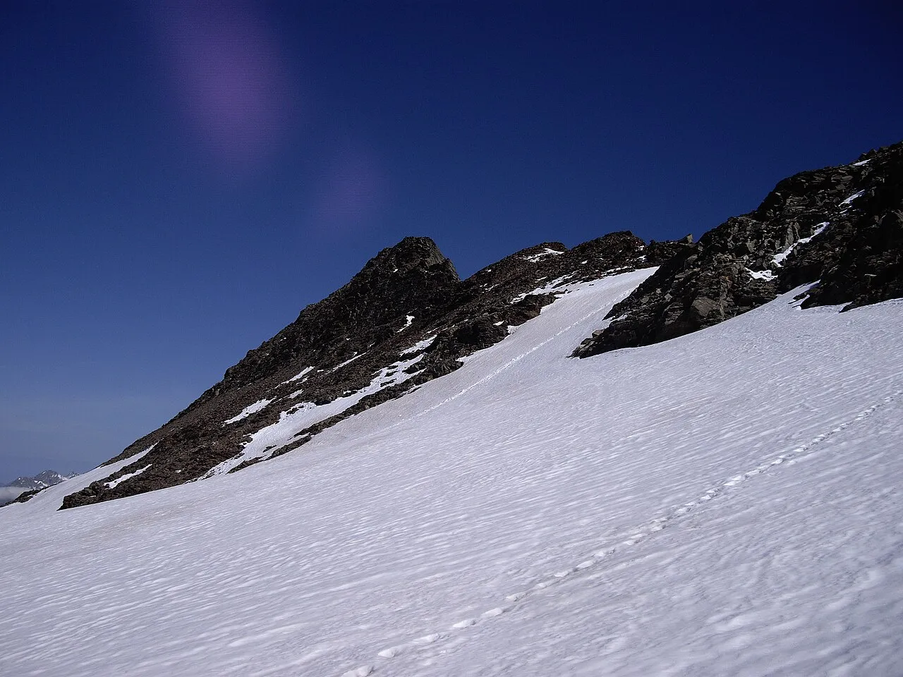
Lenkstein Schmidi · CC BY-SA 3.0 -
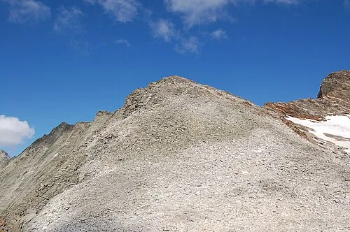
Fennereck Michael Kranewitter · CC BY-SA 3.0 at -
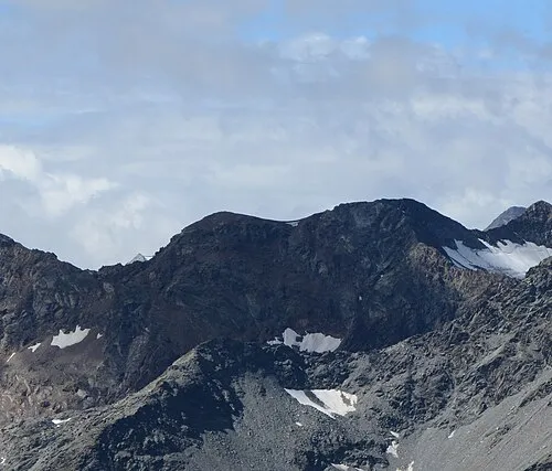
Muklaspitze Michael Kranewitter · CC BY-SA 4.0 -
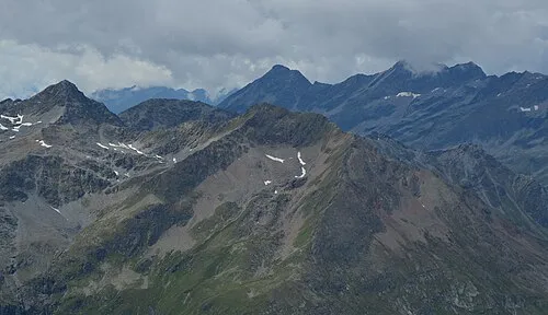
Graunock Michael Kranewitter · CC BY-SA 4.0 -
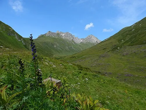
Arvental Niki.L · CC BY 3.0


Climate of Val del Rio
This month · November
A wet month
Day 4° · Night -2° · Rain 101 mm
- Hottest month
- July (day 17°)
- Coldest month
- February (night -6°)
- Wettest month
- July (157 mm)
- Driest month
- February (67 mm)
Bars: average monthly low and high temperature. Below: precipitation. Monthly averages for 1970–2000 at about 18 km resolution, adjusted for elevation. Highlighted months are mild and relatively dry. Source: WorldClim 2.1 (CC BY 4.0).
Show values as a table
| Month | Jan | Feb | Mar | Apr | May | Jun | Jul | Aug | Sep | Oct | Nov | Dec |
|---|---|---|---|---|---|---|---|---|---|---|---|---|
| Average high (°C) | 0° | 1° | 3° | 6° | 11° | 14° | 17° | 17° | 14° | 10° | 4° | 1° |
| Average low (°C) | -5° | -6° | -4° | -1° | 4° | 7° | 9° | 9° | 7° | 3° | -2° | -4° |
| Precipitation (mm) | 70 | 67 | 89 | 99 | 117 | 141 | 157 | 144 | 107 | 95 | 101 | 77 |
How to get to Val del Rio
The nearest airport is Innsbruck Airport (INN), 66 km to the northwest as the crow flies. The nearest large city is Innsbruck, 63 km to the northwest.
Airports
- Innsbruck Airport (INN) Innsbruck 66 kmnorthwest
- Bolzano Airport (BZO) Bolzano (BZ) 79 kmsouthwest
- Salzburg Airport (SZG) Salzburg 117 kmnortheast
Nearby large cities
- Innsbruck Population: 132.5K 63 kmnorthwest
- Salzburg Population: 157.2K 120 kmnortheast
- Munich Population: 1.5M 138 kmnorth
- Klagenfurt Population: 100.3K 174 kmeast
- Augsburg Population: 301.1K 182 kmnorthwest
Straight-line distances; road distances are longer. Airport data: OurAirports.
Day trips from Val del Rio
Within 100 km: 150 historic and cultural sites, 4,277 natural sites, 777 lakes, rivers and coasts.
0–25 km487 places
- Schwarzsee Lake 19 kmSE
- Oberseitsee Lake 15 kmE
- Berger See Lake 22 kmE
- Bödensee Lake 16 kmE
25–60 km1,548 places
- Sille River 32 kmSE
- Piz Gralba Mountain 52 kmSW
- Piz Miara Mountain 52 kmSW
- Fürlegsee Lake 46 kmNE
60–100 km3,169 places
- Bayerisches Oberland Mountain 96 kmNW
- Croda Nera Mountain 61 kmS
- Wildsee Lake 80 kmNW
- Brandlsee Lake 61 kmNE
Straight-line distances.
Nearest towns and villages
-
Rein in Taufers Village, Campo Tures/Sand in Taufers1.3 km NW
-
Acereto Village, Campo Tures/Sand in Taufers8 km W
-
Ahrntal Municipality, South Tyrol9.6 km NW
-
Campo Tures/Sand in Taufers Municipality, South Tyrol9.9 km W
-
Valle Aurina - Ahrntal Town, Ahrntal9.6 km NW
-
Am Wollbach-Quadra Village, Ahrntal9 km NW
Nearby attractions & nature
Everything nearby-
Zwölfernock Mountain, Campo Tures/Sand in Taufers2 km SW
-
Stutennock Mountain, Campo Tures/Sand in Taufers2.5 km NE
-
Tristennöckl Mountain, Campo Tures/Sand in Taufers2.7 km SE
-
Putzberg Mountain, Campo Tures/Sand in Taufers2.9 km SW
-
Rastentalnock Mountain, Campo Tures/Sand in Taufers3 km SW
-
Gatternock Mountain, Campo Tures/Sand in Taufers3 km SW
-
Monte Quadra Mountain, Campo Tures/Sand in Taufers2.7 km SW
-
Brunnerleitenspitze Mountain, Campo Tures/Sand in Taufers3.1 km NE
More nature in Italy
-
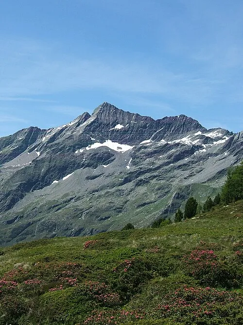 Durreck Mountain, Campo Tures/Sand in Taufers4.3 km NW
-
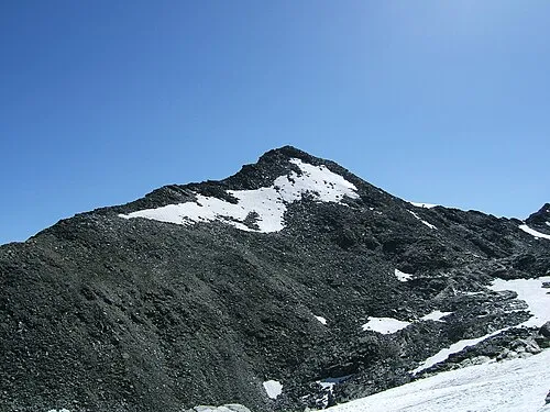 Dreieckspitze Mountain, Campo Tures/Sand in Taufers4.5 km NE
-
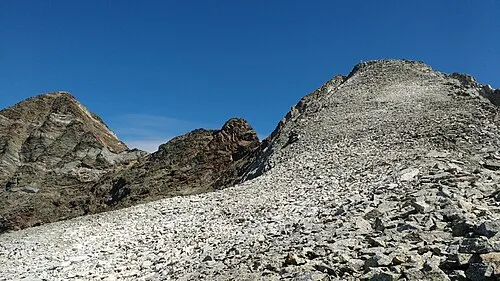 Fernerköpfl Mountain, Campo Tures/Sand in Taufers4.9 km S
-
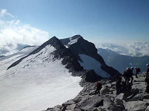 Monte Magro Mountain, Campo Tures/Sand in Taufers5.2 km S
-
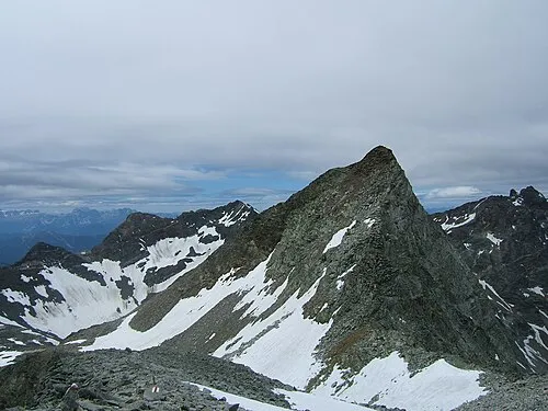 Gelttalspitze Mountain, Rasun-Anterselva/Rasen-Antholz5.3 km S
-
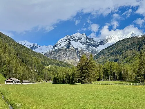 Riesernock Mountain, Campo Tures/Sand in Taufers4.2 km E
Sources & licences
Data last updated: · 2 independent sources