- Population
- 17,278
- 17.3K
- Elevation
- 73 m
- above sea level
- Local time
- UTC+01:00
- Europe/Rome · UTC+01:00
- Airports
- FLR Florence Airport, Peretola19 km
- PSA Pisa International Airport58 km
About Fornacelle
Fornacelle is a town. Location: Montemurlo, Provincia di Prato. Population: 17,278. Elevation: 73 m. The best months to visit are May. The nearest airport is Florence Airport, Peretola (19 km). Nearby sights include Poggio Ferrato and Monte Piccioli.
Photos of Fornacelle
-
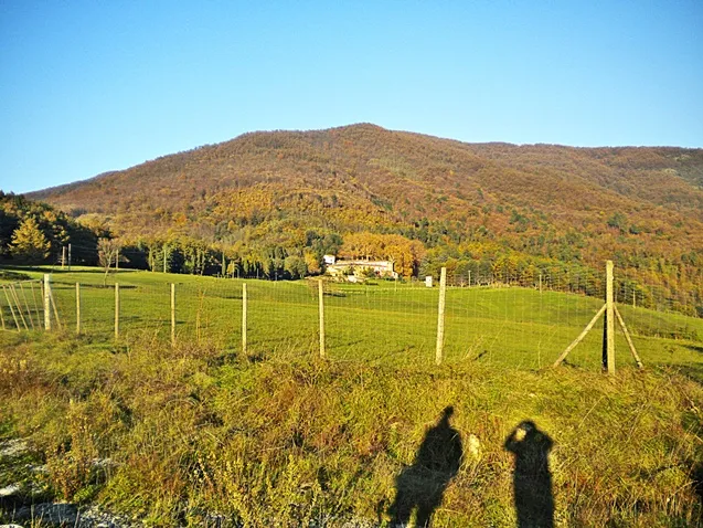
Poggio di Iavello Tuscanycalling · CC BY-SA 3.0 -
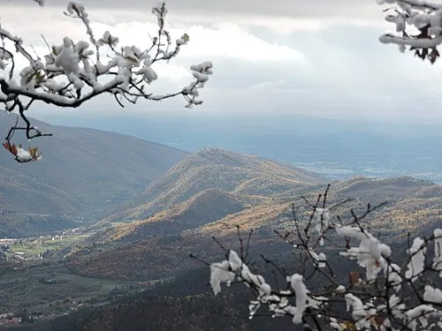
Monte le Coste Naioli · CC BY-SA 4.0 -
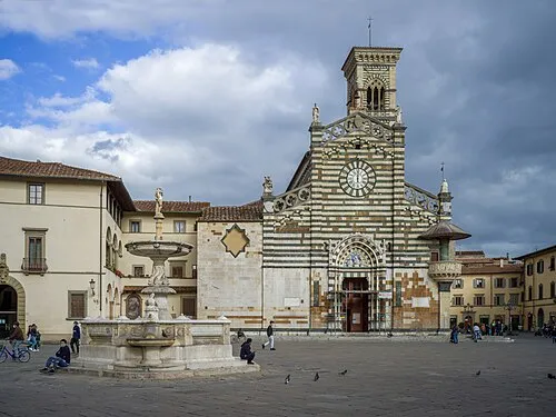
Prato Cathedral This Photo was taken by Wolfgang Moroder . Feel free to use my photos, but please mention me as the author and send me a · CC BY-SA 3.0 -
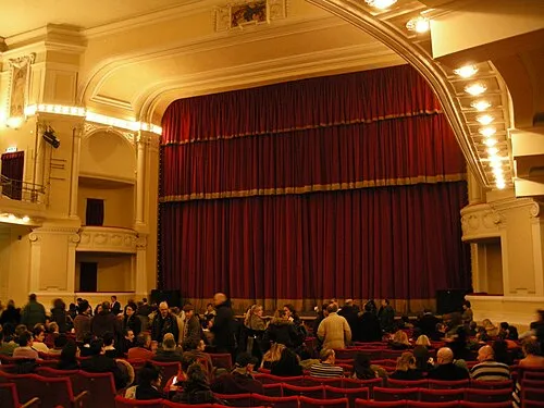
Teatro Politeama sailko · CC BY 2.5 -
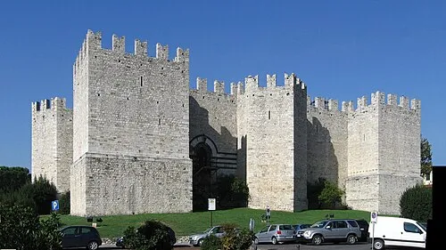
Castello dell'Imperatore Rolando Valdiserri - Prato · CC BY-SA 3.0


Climate of Fornacelle
Best months for sightseeingBest months for sightseeing: May.
This month · November
A wet month
Day 15° · Night 6° · Rain 147 mm
- Hottest month
- August (day 31°)
- Coldest month
- January (night 3°)
- Wettest month
- November (147 mm)
- Driest month
- July (44 mm)
Bars: average monthly low and high temperature. Below: precipitation. Monthly averages for 1970–2000 at about 18 km resolution, adjusted for elevation. Highlighted months are mild and relatively dry. Source: WorldClim 2.1 (CC BY 4.0).
Show values as a table
| Month | Jan | Feb | Mar | Apr | May | Jun | Jul | Aug | Sep | Oct | Nov | Dec |
|---|---|---|---|---|---|---|---|---|---|---|---|---|
| Average high (°C) | 11° | 12° | 15° | 18° | 23° | 27° | 31° | 31° | 26° | 21° | 15° | 11° |
| Average low (°C) | 3° | 3° | 5° | 8° | 12° | 16° | 18° | 18° | 15° | 11° | 6° | 3° |
| Precipitation (mm) | 95 | 81 | 94 | 105 | 76 | 70 | 44 | 70 | 99 | 132 | 147 | 112 |
Other places to visit in this season: May
How to get to Fornacelle
The nearest airport is Florence Airport, Peretola (FLR), 19 km to the southeast as the crow flies. The nearest large city is Nice, 304 km to the west.
Airports
- Florence Airport, Peretola (FLR) Firenze (FI) 19 kmsoutheast
- Pisa International Airport (PSA) Pisa (PI) 58 kmsouthwest
- Bologna Guglielmo Marconi Airport (BLQ) Bologna 71 kmnorth
Nearby large cities
- Nice Population: 342.7K 304 kmwest
- Rijeka Population: 108K 312 kmnortheast
- Ljubljana Population: 272.2K 362 kmnortheast
- Innsbruck Population: 132.5K 372 kmnorth
- Klagenfurt Population: 100.3K 395 kmnortheast
Straight-line distances; road distances are longer. Airport data: OurAirports.
Day trips from Fornacelle
Within 100 km: 71 historic and cultural sites, 218 natural sites, 27 lakes, rivers and coasts.
0–25 km80 places
- Poggio di Iavello Mountain 6 kmNE
- Monte Morello Mountain 16 kmE
- I Fornelli Mountain 16 kmS
- Poggio Ferrato Mountain 3 kmE
25–60 km68 places
- Monte Vigese Mountain 31 kmN
- Monte Santa Giulia Mountain 60 kmNW
- Monte Santa Croce Mountain 47 kmNE
- Monte Rozzo Mountain 54 kmE
60–100 km168 places
- Cormorano Beach 86 kmSW
- Cala del Leone Beach 75 kmSW
- Spiaggia di Calignaia Beach 75 kmSW
- Spiaggia per Cani Beach 74 kmSW
Straight-line distances.
Nearby attractions & nature
Everything nearby-
Poggio Ferrato Mountain, Montemurlo3.3 km E
-
Monte Piccioli Mountain, Montemurlo3.8 km E
-
Monte Mezzano Mountain, Prato3.6 km E
-
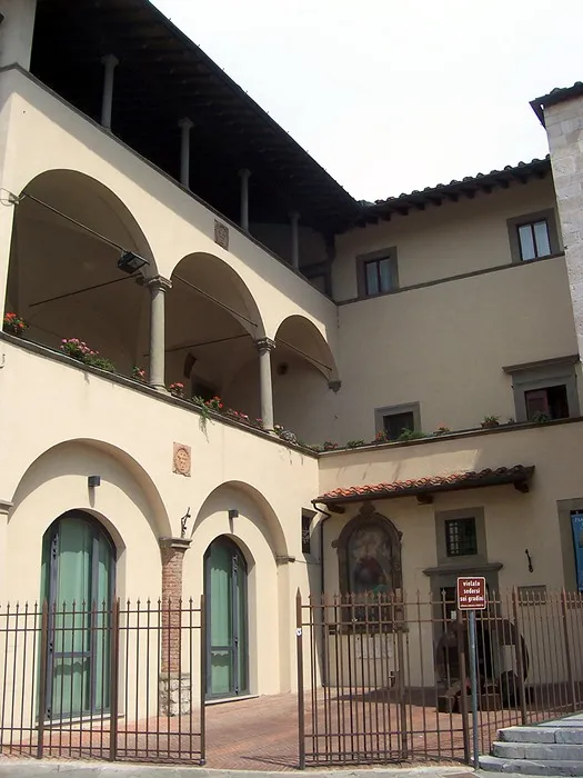 Museo dell'Opera del Duomo Museum, Prato6.8 km SE
-
Castello dell'Imperatore Historic site, Prato7.1 km SE
-
Prato Cathedral Attraction, Prato6.9 km SE
-
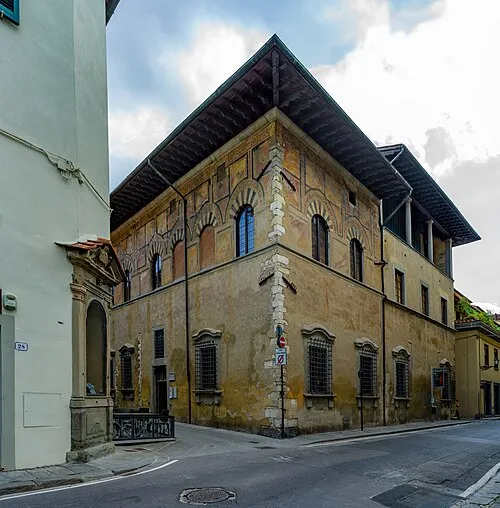 Palazzo Datini Historic site, Prato6.8 km SE
-
Teatro Politeama Attraction, Prato6.9 km SE
Sources & licences
Data last updated: