Prato
Located in Provincia di Prato, Tuscany Coordinates: 43°52′50″ N 11°05′49″ E
- Population
- 194,590
- 194.6K
- Elevation
- 71 m
- above sea level
- Local time
- UTC+01:00
- Europe/Rome · UTC+01:00
- Places inside
- 16
- listed under Prato
About Prato
Prato is a municipality. Location: Provincia di Prato, Tuscany. Population: 194,590. Elevation: 71 m.
In comparison
- Most populous of 7 places in Provincia di Prato
- Nearest larger town: Florence, 16 km SE
- 13 sights and natural places within 10 km Palazzo Datini, Prato Cathedral
- Listed here: Village: 7, Mountain: 3, Attraction: 2, Historic site: 2
Airports nearest to Prato
- Florence Airport, Peretola (FLR) Firenze (FI) 12 km
- Pisa International Airport (PSA) Pisa (PI) 61 km
- Bologna Guglielmo Marconi Airport (BLQ) Bologna 74 km
Straight-line distance; airports with scheduled flights only. Source: OurAirports (public domain).
Places in Prato
16 places-
Castelnuovo Village420
-
Mazzone Village365
-
Le Vanne Village107
-
Ponte A Tigliano Village99
-
Filettole Village79
-
Canneto Village39
-
Carteano Village22
-
Castello dell'Imperatore Historic site
-
Monte le Coste Mountain
-
Monte Mezzano Mountain
-
Museo dell'Opera del Duomo Museum
-
Palazzo Datini Historic site
-
Prato Cathedral Attraction
-
Retaia Mountain
-
Stadio Lungobisenzio Landmark
-
Teatro Politeama Attraction
Nearby attractions & nature
Everything nearby-
Poggio Ferrato Mountain, Montemurlo4.8 km N
-
Monte Piccioli Mountain, Montemurlo5.7 km N
-
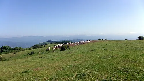 Monti della Calvana Mountain, Tuscany6.9 km NE
-
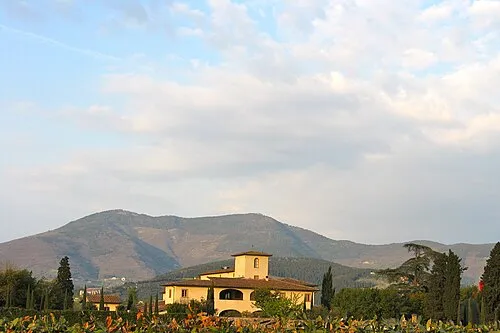 Monte Morello Mountain, Calenzano11 km E
-
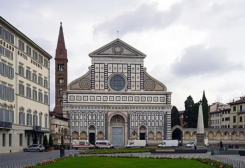 Basilica of Santa Maria Novella Attraction, Centro Storico17 km SE
-
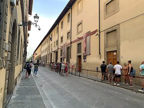 Galleria dell'Accademia Museum, Centro Storico17 km SE
-
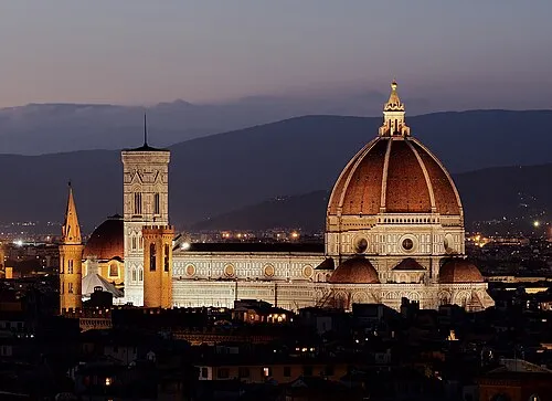 Basilica of Saint Mary of the Flower Attraction, Centro Storico17 km SE
-
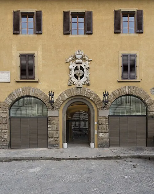 Museum of Opera of Saint Maria of Fiore Museum, Centro Storico18 km SE
Other cities and towns in Provincia di Prato
-
Poggio a Caiano Municipality, Provincia di Prato8.3 km SW
-
Carmignano Municipality, Provincia di Prato10 km SW
-
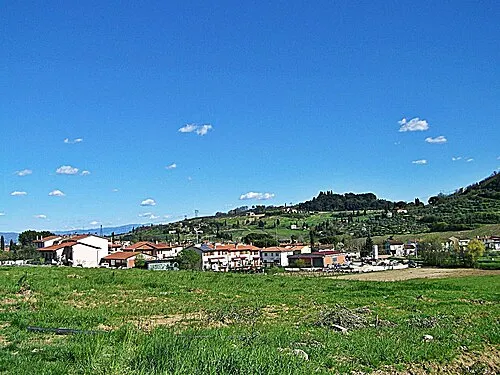 Seano Town, Carmignano8.2 km SW
-
Cantagallo Municipality, Provincia di Prato16 km N
-
Fornacelle Town, Montemurlo6.9 km NW
-
Montemurlo Town, Montemurlo7 km NW
Sources & licences
Data last updated: