Monte Parei
Located in Cortina d'Ampezzo, Province of Belluno Coordinates: 46°36′39″ N 12°02′54″ E
- Elevation
- 2,793 m
- above sea level
- Local time
- UTC+01:00
- Europe/Rome · UTC+01:00
- Airports
- BZO Bolzano Airport58 km
- INN Innsbruck Airport90 km
About Monte Parei
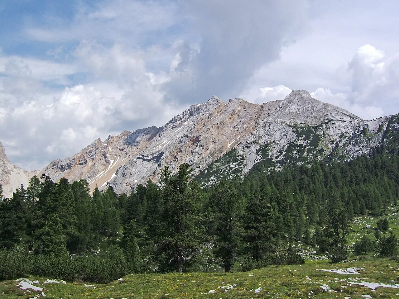
Monte Parei is a mountain. Location: Cortina d'Ampezzo, Province of Belluno. Elevation: 2,793 m.
Col Bechei (2,794 m) is a mountain of the Dolomites, located between South Tyrol and Veneto, Italy. It lies in the Fanes group, northwest of Cortina d'Ampezzo. It is located in the Fanes-Sennes-Prags Nature Park in an area somewhat less frequented by tourists than other Domomite peaks.
Source: Wikipedia · CC BY-SA 4.0
At a glance
- Topographic prominence
- 620 m
Source: Wikidata
Photos of Monte Parei
-

Llorenzi · CC BY-SA 3.0 -

Tiia Monto · CC BY-SA 3.0 -

Svíčková · CC BY-SA 3.0 -

Svíčková · CC BY-SA 3.0 -

© Ra Boe / Wikipedia · CC BY-SA 3.0 de


Climate of Monte Parei
This month · November
A cold month
Day -4° · Night -10° · Rain 86 mm
- Hottest month
- July (day 10°)
- Coldest month
- February (night -14°)
- Wettest month
- July (147 mm)
- Driest month
- January (50 mm)
Bars: average monthly low and high temperature. Below: precipitation. Monthly averages for 1970–2000 at about 18 km resolution, adjusted for elevation. Highlighted months are mild and relatively dry. Source: WorldClim 2.1 (CC BY 4.0).
Show values as a table
| Month | Jan | Feb | Mar | Apr | May | Jun | Jul | Aug | Sep | Oct | Nov | Dec |
|---|---|---|---|---|---|---|---|---|---|---|---|---|
| Average high (°C) | -8° | -7° | -5° | -2° | 3° | 7° | 10° | 9° | 6° | 2° | -4° | -7° |
| Average low (°C) | -14° | -14° | -12° | -9° | -4° | -1° | 1° | 1° | -2° | -5° | -10° | -13° |
| Precipitation (mm) | 50 | 51 | 65 | 78 | 110 | 133 | 147 | 138 | 104 | 92 | 86 | 54 |
How to get to Monte Parei
The nearest airport is Bolzano Airport (BZO), 58 km to the west as the crow flies. For international flights: Innsbruck Airport (INN) (90 km). The nearest large city is Innsbruck, 88 km to the northwest.
Airports
- Bolzano Airport (BZO) Bolzano (BZ) 58 kmwest
- Innsbruck Airport (INN) Innsbruck 90 kmnorthwest
- Treviso Airport (TSF) Treviso (TV) 108 kmsouth
Nearby large cities
- Innsbruck Population: 132.5K 88 kmnorthwest
- Salzburg Population: 157.2K 152 kmnortheast
- Klagenfurt Population: 100.3K 173 kmeast
- Munich Population: 1.5M 173 kmnorth
- Ljubljana Population: 272.2K 199 kmeast
Straight-line distances; road distances are longer. Airport data: OurAirports.
Day trips from Monte Parei
Within 100 km: 90 historic and cultural sites, 3,156 natural sites, 384 lakes, rivers and coasts.
0–25 km195 places
- Piz Gralba Mountain 22 kmSW
- Piz Miara Mountain 22 kmSW
- Onsberg Mountain 21 kmNW
- Nemesis Mountain 6 kmS
25–60 km1,181 places
- Sille River 35 kmNE
- Croda Nera Mountain 28 kmSW
- Eissee Lake 57 kmNE
- Wild See Lake 57 kmNW
60–100 km2,254 places
- Fürlegsee Lake 72 kmNE
- Vorderer Langtalsee Lake 71 kmNE
- Brandlsee Lake 88 kmNE
- Brechlsee Lake 87 kmNE
Straight-line distances.
Nearest towns and villages
-
Fiames Village, Cortina d'Ampezzo6.8 km SE
-
Cadin di Sotto Village, Cortina d'Ampezzo8.8 km SE
-
Cortina d'Ampezzo Town, Cortina d'Ampezzo11 km SE
-
Cadin di Sopra Village, Cortina d'Ampezzo8.4 km SE
-
Cadelverzo di Sopra Village, Cortina d'Ampezzo9 km SE
-
Chiamulera Village, Cortina d'Ampezzo9.5 km SE
Nearby attractions & nature
Everything nearby-
Col Bechei Di Sopra Mountain, Mareo0.5 km SW
-
Punta Camin Mountain, Veneto0.9 km N
-
Sasso Para Mountain, Cortina d'Ampezzo2.4 km NE
-
Croda Vallone Bianco Mountain, Veneto2.9 km S
-
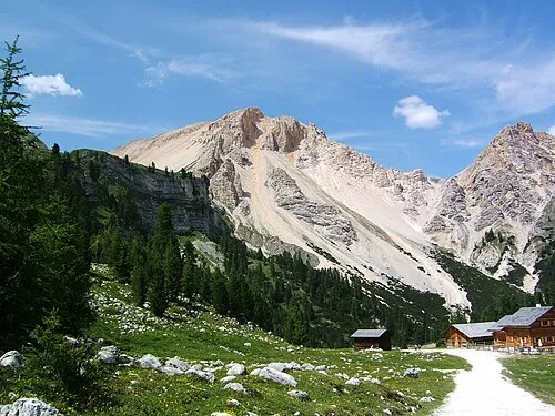 Monte Sella Mountain, Mareo4 km NW
-
Eisengabel Mountain, Mareo3.3 km NW
-
Monte Varella Mountain, Mareo3.4 km SW
-
Plan de Salines Mountain, Mareo4.3 km W
More nature in Italy
-
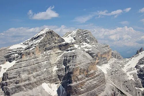 Tofana di Dentro Mountain, Cortina d'Ampezzo6.1 km S
-
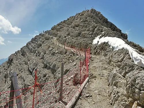 Tofana di Mezzo Mountain, Cortina d'Ampezzo6.8 km S
-
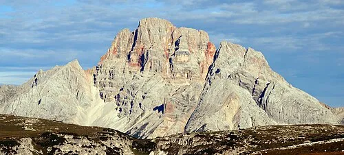 Croda Rossa Mountain, Cortina d'Ampezzo7.7 km E
-
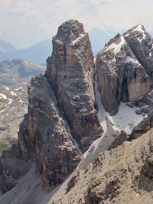 Torre Fanis Mountain, Cortina d'Ampezzo7.1 km S
-
Cima Formenton Mountain, Cortina d'Ampezzo5.3 km S
-
Monte Cadin Mountain, Cortina d'Ampezzo5.3 km E
Sources & licences
Data last updated: · 2 independent sources