Croda Rossa
Located in Cortina d'Ampezzo, Province of Belluno Coordinates: 46°38′12″ N 12°08′31″ E
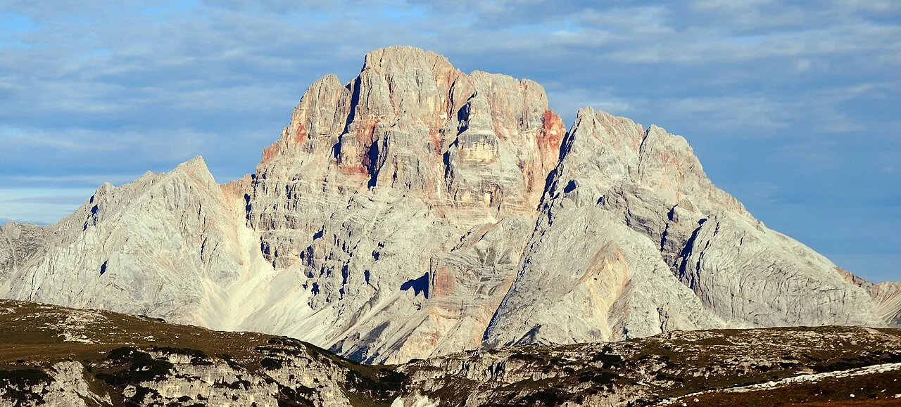
- Elevation
- 3,146 m
- above sea level
- Local time
- UTC+01:00
- Europe/Rome · UTC+01:00
- Airports
- BZO Bolzano Airport66 km
- INN Innsbruck Airport92 km
About Croda Rossa
Croda Rossa is a mountain. Location: Cortina d'Ampezzo, Province of Belluno. Elevation: 3,146 m.
Hohe Gaisl (Croda Rossa d'Ampezzo in Italian), (3,146m) is a mountain in the northern Dolomites, on the border of South Tyrol and Veneto, in northern Italy, located between the Braies Valley and the Val di Landro. It lies as an imposing and prominent mountain, dominating the valleys underneath it. Its summit has a pyramid shape, and the mountain's slopes glow a deep red colour, a feature it has in common with many Dolomite peaks. The mountain is rarely climbed as it is particularly prone to rockfall.
Source: Wikipedia · CC BY-SA 4.0
At a glance
- Topographic prominence
- 1,133 m
Source: Wikidata
Photos of Croda Rossa
-

Marie-Lan Taÿ Pamart · CC BY 4.0 -
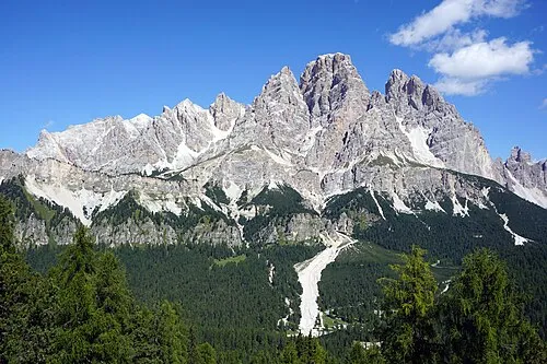
Gruppo del Cristallo kallerna · CC BY-SA 4.0 -
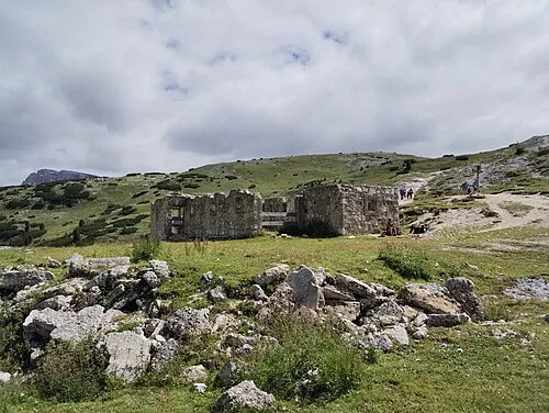
Monte Specie JAn Dudík · CC BY-SA 4.0 -
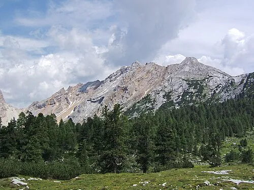
Monte Parei Cactus26 · CC BY-SA 3.0 -
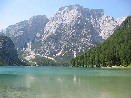
Seekofel STirol · CC BY-SA 3.0


Climate of Croda Rossa
This month · November
A cold month
Day -6° · Night -12° · Rain 86 mm
- Hottest month
- July (day 7°)
- Coldest month
- February (night -16°)
- Wettest month
- July (147 mm)
- Driest month
- January (50 mm)
Bars: average monthly low and high temperature. Below: precipitation. Monthly averages for 1970–2000 at about 18 km resolution, adjusted for elevation. Highlighted months are mild and relatively dry. Source: WorldClim 2.1 (CC BY 4.0).
Show values as a table
| Month | Jan | Feb | Mar | Apr | May | Jun | Jul | Aug | Sep | Oct | Nov | Dec |
|---|---|---|---|---|---|---|---|---|---|---|---|---|
| Average high (°C) | -10° | -10° | -7° | -4° | 1° | 5° | 7° | 7° | 4° | -1° | -6° | -9° |
| Average low (°C) | -16° | -16° | -14° | -11° | -7° | -3° | -1° | -1° | -4° | -7° | -12° | -15° |
| Precipitation (mm) | 50 | 51 | 65 | 78 | 110 | 133 | 147 | 138 | 104 | 92 | 86 | 54 |
How to get to Croda Rossa
The nearest airport is Bolzano Airport (BZO), 66 km to the west as the crow flies. For international flights: Innsbruck Airport (INN) (92 km). The nearest large city is Innsbruck, 90 km to the northwest.
Airports
- Bolzano Airport (BZO) Bolzano (BZ) 66 kmwest
- Innsbruck Airport (INN) Innsbruck 92 kmnorthwest
- Treviso Airport (TSF) Treviso (TV) 110 kmsouth
Nearby large cities
- Innsbruck Population: 132.5K 90 kmnorthwest
- Salzburg Population: 157.2K 146 kmnortheast
- Klagenfurt Population: 100.3K 166 kmeast
- Munich Population: 1.5M 172 kmnorth
- Ljubljana Population: 272.2K 193 kmeast
Straight-line distances; road distances are longer. Airport data: OurAirports.
Day trips from Croda Rossa
Within 100 km: 96 historic and cultural sites, 3,130 natural sites, 413 lakes, rivers and coasts.
0–25 km174 places
- Thurntaler Seen Lake 22 kmNE
- Demut Mountain 24 kmE
- Pizzo Quáira Mountain 23 kmNE
- Hollbrucker Spitze Mountain 23 kmE
25–60 km1,367 places
- Sille River 28 kmNE
- Piz Gralba Mountain 30 kmSW
- Piz Miara Mountain 29 kmSW
- Croda Nera Mountain 36 kmSW
60–100 km2,098 places
- Fürlegsee Lake 66 kmNE
- Vorderer Langtalsee Lake 63 kmNE
- Brandlsee Lake 82 kmNE
- Brechlsee Lake 80 kmNE
Straight-line distances.
Nearest towns and villages
-
Fiames Village, Cortina d'Ampezzo7.4 km S
-
Cadin di Sotto Village, Cortina d'Ampezzo9.5 km S
-
Cortina d'Ampezzo Town, Cortina d'Ampezzo11 km S
-
Chiamulera Village, Cortina d'Ampezzo9.1 km S
-
Prags Municipality, South Tyrol9.1 km N
-
 Schluderbach Village, Dobbiaco/Toblach6 km E
Nearby attractions & nature
Everything nearby-
Monte Cadin Mountain, Cortina d'Ampezzo2.8 km SW
-
Punta del Forame Zurlong Mountain, Cortina d'Ampezzo4.3 km S
-
Monte Specie Mountain, Dobbiaco/Toblach5.5 km E
-
Seekofel Mountain, Trentino-Alto Adige6.7 km NW
-
Sasso Para Mountain, Cortina d'Ampezzo5.5 km W
-
Cresta Bianca Mountain, Cortina d'Ampezzo5.7 km S
-
Fiammes Mountain, Cortina d'Ampezzo5.7 km S
-
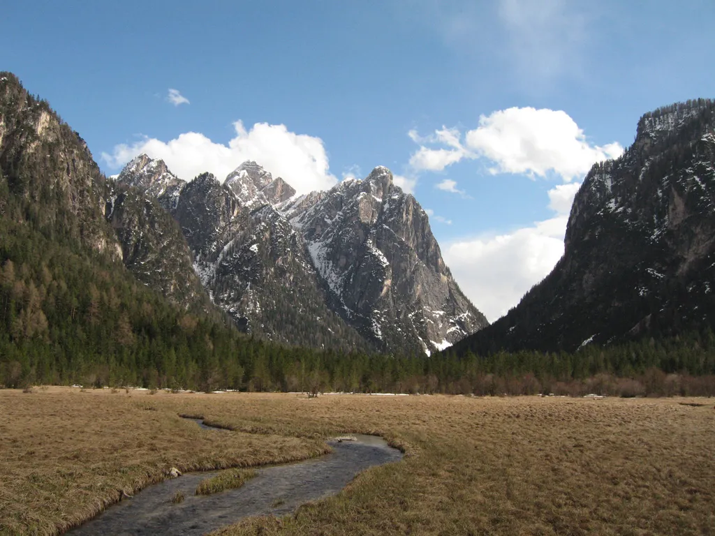 Valle di Landro Natural site, Trentino-Alto Adige6.8 km E
More nature in Italy
-
Monte Parei Mountain, Cortina d'Ampezzo7.7 km W
-
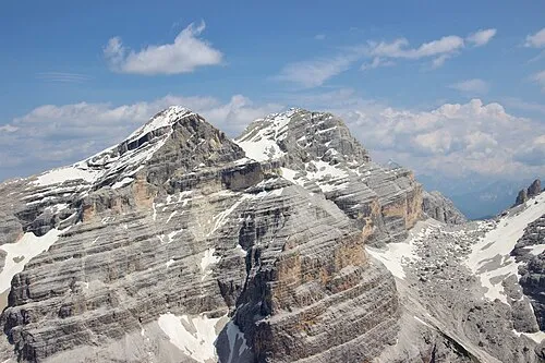 Tofana di Dentro Mountain, Cortina d'Ampezzo11 km SW
-
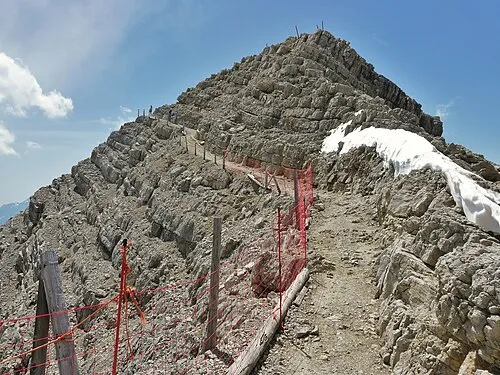 Tofana di Mezzo Mountain, Cortina d'Ampezzo11 km SW
-
Cima Formenton Mountain, Cortina d'Ampezzo9.5 km SW
-
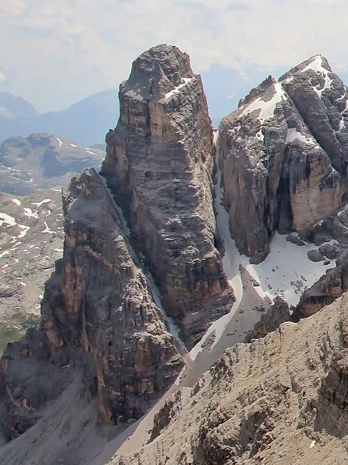 Torre Fanis Mountain, Cortina d'Ampezzo13 km SW
-
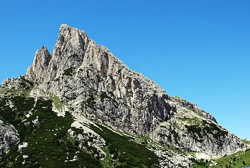 Sasso di Stria Mountain, Cortina d'Ampezzo17 km SW
Sources & licences
Data last updated: · 2 independent sources