Fiammes
Located in Cortina d'Ampezzo, Province of Belluno Coordinates: 46°35′09″ N 12°07′44″ E
- Elevation
- 2,348 m
- above sea level
- Local time
- UTC+01:00
- Europe/Rome · UTC+01:00
- Airports
- BZO Bolzano Airport63 km
- INN Innsbruck Airport96 km
About Fiammes
Fiammes is a mountain. Location: Cortina d'Ampezzo, Province of Belluno. Elevation: 2,348 m. The nearest airport is Bolzano Airport (63 km). Nearby sights include Punta del Forame Zurlong and Cresta Bianca.
Photos of Fiammes
-
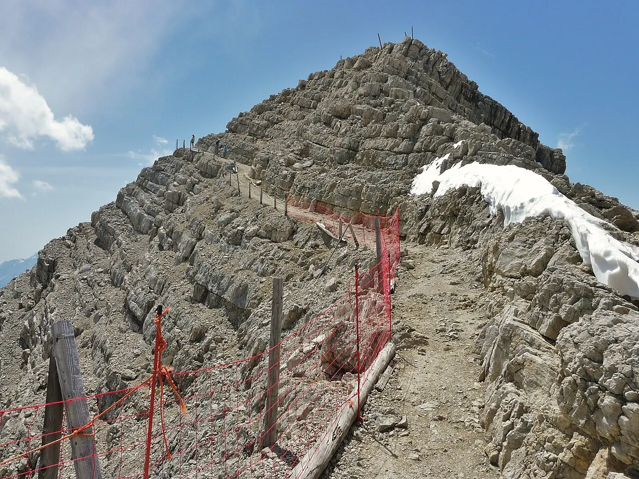
Tofana di Mezzo Ximonic , Simo Räsänen · CC BY 2.5 -
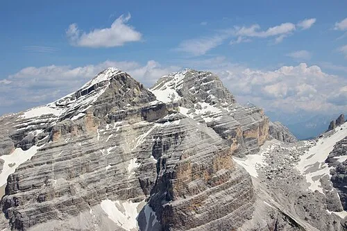
Tofana di Dentro Thesurvived99 · CC BY-SA 3.0 -
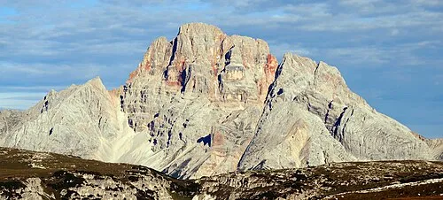
Croda Rossa Svíčková · CC BY-SA 3.0 -
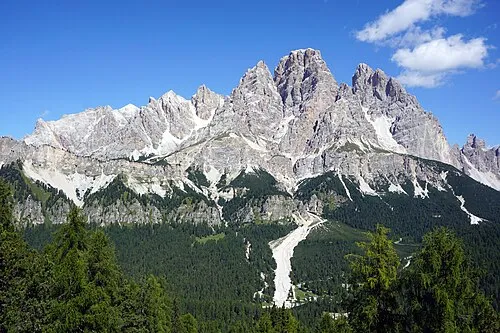
Gruppo del Cristallo kallerna · CC BY-SA 4.0 -
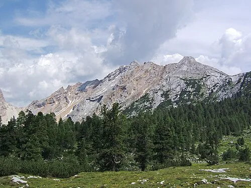
Monte Parei Cactus26 · CC BY-SA 3.0


Climate of Fiammes
This month · November
A cold month
Day -1° · Night -7° · Rain 86 mm
- Hottest month
- July (day 12°)
- Coldest month
- February (night -11°)
- Wettest month
- July (147 mm)
- Driest month
- January (50 mm)
Bars: average monthly low and high temperature. Below: precipitation. Monthly averages for 1970–2000 at about 18 km resolution, adjusted for elevation. Highlighted months are mild and relatively dry. Source: WorldClim 2.1 (CC BY 4.0).
Show values as a table
| Month | Jan | Feb | Mar | Apr | May | Jun | Jul | Aug | Sep | Oct | Nov | Dec |
|---|---|---|---|---|---|---|---|---|---|---|---|---|
| Average high (°C) | -5° | -5° | -2° | 1° | 6° | 10° | 12° | 12° | 9° | 5° | -1° | -4° |
| Average low (°C) | -11° | -11° | -9° | -6° | -1° | 2° | 4° | 4° | 1° | -2° | -7° | -10° |
| Precipitation (mm) | 50 | 51 | 65 | 78 | 110 | 133 | 147 | 138 | 104 | 92 | 86 | 54 |
How to get to Fiammes
The nearest airport is Bolzano Airport (BZO), 63 km to the west as the crow flies. For international flights: Innsbruck Airport (INN) (96 km). The nearest large city is Innsbruck, 94 km to the northwest.
Airports
- Bolzano Airport (BZO) Bolzano (BZ) 63 kmwest
- Innsbruck Airport (INN) Innsbruck 96 kmnorthwest
- Treviso Airport (TSF) Treviso (TV) 104 kmsouth
Nearby large cities
- Innsbruck Population: 132.5K 94 kmnorthwest
- Salzburg Population: 157.2K 152 kmnortheast
- Klagenfurt Population: 100.3K 167 kmeast
- Munich Population: 1.5M 177 kmnorth
- Ljubljana Population: 272.2K 192 kmeast
Straight-line distances; road distances are longer. Airport data: OurAirports.
Day trips from Fiammes
Within 100 km: 92 historic and cultural sites, 3,057 natural sites, 389 lakes, rivers and coasts.
0–25 km169 places
- Toblacher Pfannhorn Mountain 25 kmNE
- Nemesis Mountain 7 kmSW
- Tofana di Mezzo Mountain 6 kmSW
- Tofana di Dentro Mountain 6 kmSW
25–60 km1,221 places
- Sille River 32 kmNE
- Piz Gralba Mountain 27 kmW
- Piz Miara Mountain 26 kmW
- Croda Nera Mountain 32 kmSW
60–100 km2,148 places
- Fürlegsee Lake 71 kmNE
- Vorderer Langtalsee Lake 68 kmNE
- Brandlsee Lake 87 kmNE
- Brechlsee Lake 85 kmNE
Straight-line distances.
Nearest towns and villages
-
Fiames Village, Cortina d'Ampezzo1.8 km SW
-
Cadin di Sotto Village, Cortina d'Ampezzo3.7 km S
-
Chiamulera Village, Cortina d'Ampezzo3.6 km S
-
Cadin di Sopra Village, Cortina d'Ampezzo3.5 km S
-
Cortina d'Ampezzo Town, Cortina d'Ampezzo5.5 km S
-
Cadelverzo di Sopra Village, Cortina d'Ampezzo4.2 km S
Nearby attractions & nature
Everything nearby-
Punta del Forame Zurlong Mountain, Cortina d'Ampezzo2.4 km NE
-
Cresta Bianca Mountain, Cortina d'Ampezzo3.1 km E
-
Valle di Sotto Natural site, Veneto3.5 km SW
-
Monte Cadin Mountain, Cortina d'Ampezzo3.7 km N
-
Gruppo del Cristallo Mountain, Veneto5.5 km E
-
Croda Rossa Mountain, Cortina d'Ampezzo5.7 km N
-
Cima Formenton Mountain, Cortina d'Ampezzo4.8 km SW
-
Tofana di Dentro Mountain, Cortina d'Ampezzo5.9 km SW
More nature in Italy
-
Monte Parei Mountain, Cortina d'Ampezzo6.8 km NW
-
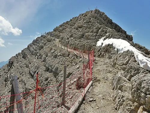 Tofana di Mezzo Mountain, Cortina d'Ampezzo6.2 km SW
-
Sasso Para Mountain, Cortina d'Ampezzo6 km NW
-
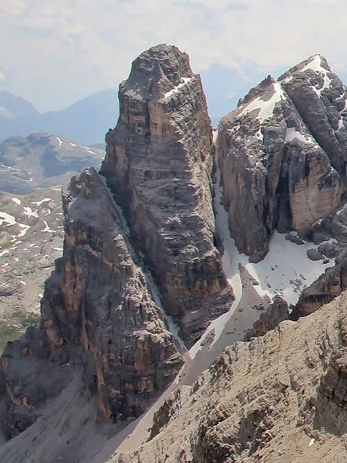 Torre Fanis Mountain, Cortina d'Ampezzo9 km SW
-
Crepedel Mountain, Cortina d'Ampezzo7.9 km SE
-
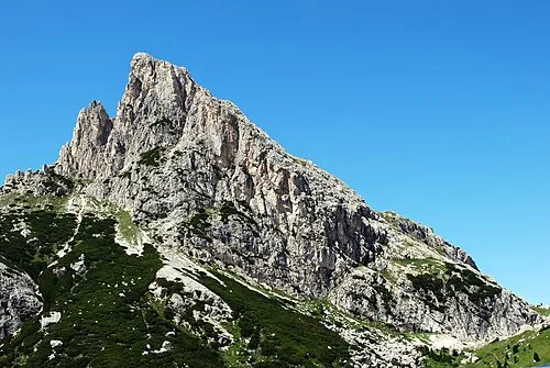 Sasso di Stria Mountain, Cortina d'Ampezzo12 km SW
Sources & licences
Data last updated: · 2 independent sources