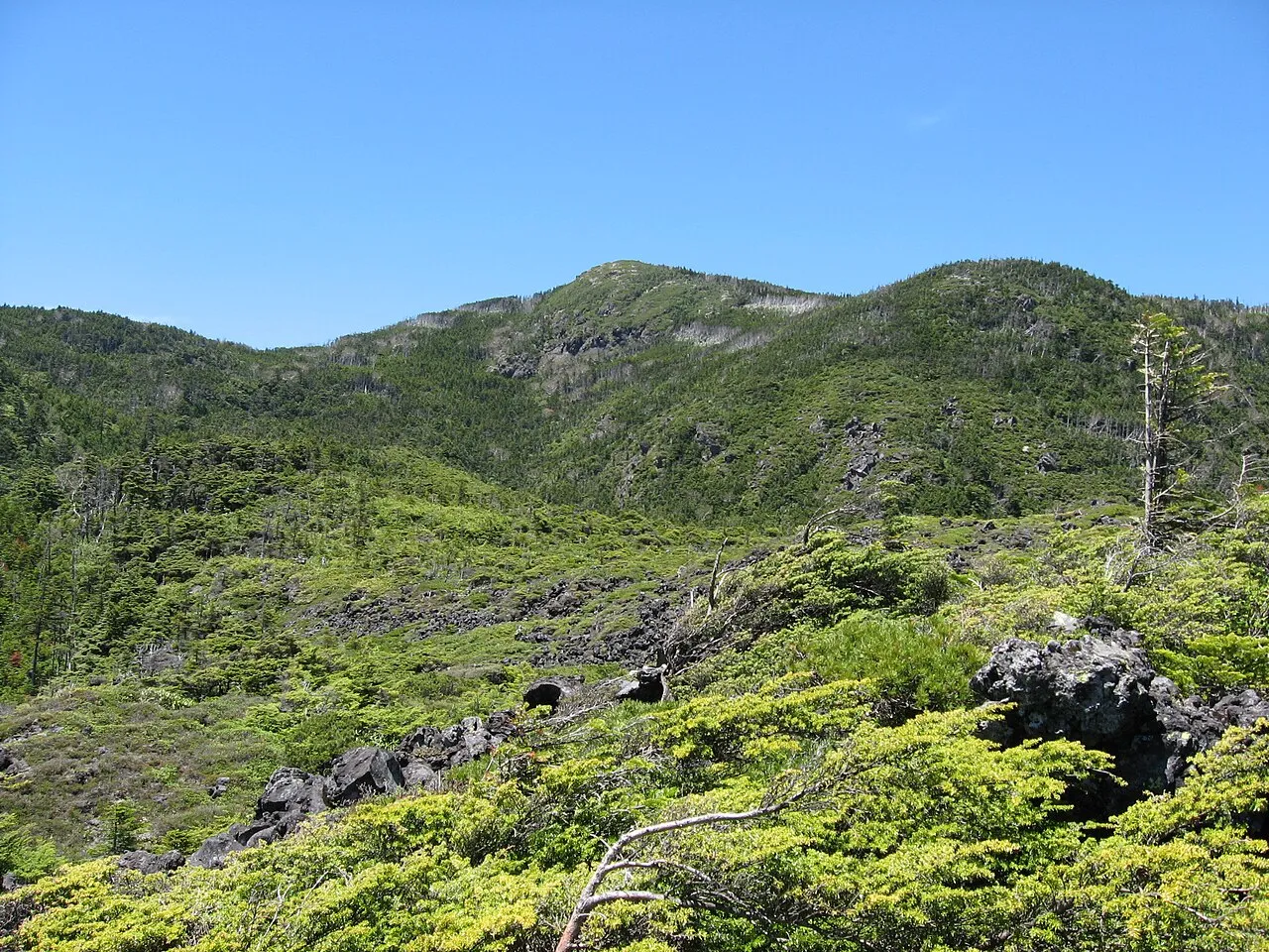
- Elevation
- 2,480 m
- above sea level
- Local time
- UTC+09:00
- Asia/Tokyo · UTC+09:00
- Airports
- MMJ Shinshu-Matsumoto Airport37 km
- TOY Toyama Kitokito Airport119 km
About Mount Yoko
Mount Yoko is a mountain. Location: Chino Shi, Nagano. Elevation: 2,480 m.
Mount Yoko (横岳, Yoko-dake) also known as Mount Kita Yoko, is an active lava dome located in the Northern Yatsugatake Volcanic Group of the Yatsugatake Mountains, Honshū, Japan. Mount Yoko has shown the most recent activity and is now considered an active volcano. It last erupted approximately 800 years ago. The eruption consisted of ash with a lava flow of some 3 million cubic meters. The eruption was dated by corrected radiocarbon dating. The next previous eruption was in or after 400 BCE.
Source: Wikipedia · CC BY-SA 4.0
At a glance
- Topographic prominence
- 400 m
Source: Wikidata
Climate of Mount Yoko
This month · November
A cold month
Day 3° · Night -8° · Rain 70 mm
Better nearby cities in November
- Kofu · 52 km southeast17°
- Fujinomiya · 100 km south18°
- Fuji · 108 km south20°
- Hottest month
- August (day 18°)
- Coldest month
- January (night -17°)
- Wettest month
- September (232 mm)
- Driest month
- December (36 mm)
Bars: average monthly low and high temperature. Below: precipitation. Monthly averages for 1970–2000 at about 18 km resolution, adjusted for elevation. Highlighted months are mild and relatively dry. Source: WorldClim 2.1 (CC BY 4.0).
Show values as a table
| Month | Jan | Feb | Mar | Apr | May | Jun | Jul | Aug | Sep | Oct | Nov | Dec |
|---|---|---|---|---|---|---|---|---|---|---|---|---|
| Average high (°C) | -7° | -6° | -2° | 5° | 10° | 13° | 16° | 18° | 13° | 7° | 3° | -3° |
| Average low (°C) | -17° | -17° | -13° | -7° | -2° | 3° | 7° | 8° | 4° | -3° | -8° | -14° |
| Precipitation (mm) | 41 | 56 | 90 | 123 | 139 | 215 | 212 | 221 | 232 | 132 | 70 | 36 |
How to get to Mount Yoko
The nearest airport is Shinshu-Matsumoto Airport (MMJ), 37 km to the west as the crow flies. For international flights: Mount Fuji Shizuoka Airport (FSZ) (144 km). The nearest large city is Ueda, 35 km to the north.
Airports
- Shinshu-Matsumoto Airport (MMJ) Matsumoto 37 kmwest
- Toyama Kitokito Airport (TOY) Toyama 119 kmnorthwest
- Mount Fuji Shizuoka Airport (FSZ) Makinohara / Shimada 144 kmsouth
Nearby large cities
- Ueda Population: 157.5K 35 kmnorth
- Matsumoto Population: 241.1K 36 kmnorthwest
- Kofu Population: 189.6K 52 kmsoutheast
- Nagano Population: 372.8K 64 kmnorth
- Takasaki Population: 373K 68 kmnortheast
Straight-line distances; road distances are longer. Airport data: OurAirports.
Nearest towns and villages
-
Sakuho Machi Municipality, Minamisaku-gun15 km NE
-
Hara Mura Municipality, Suwa-gun15 km S
-
Tateshina Machi Municipality, Kitasaku-gun15 km N
-
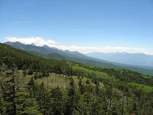 Chino City, Chino Shi18 km SW
-
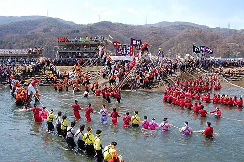 Suwa City, Suwa Shi19 km W
-
Shimosuwa Machi Municipality, Suwa-gun19 km W
Nearby attractions & nature
Everything nearby-
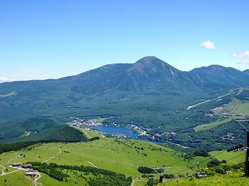 Mount Tateshina Mountain, Chino Shi2.9 km NW
-
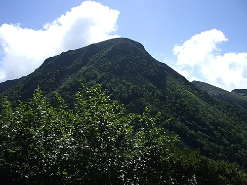 Mount Tengu Mountain, Chino Shi8.3 km SE
-
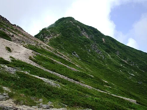 Mount Neishi Mountain, Minamimaki Mura8.8 km SE
-
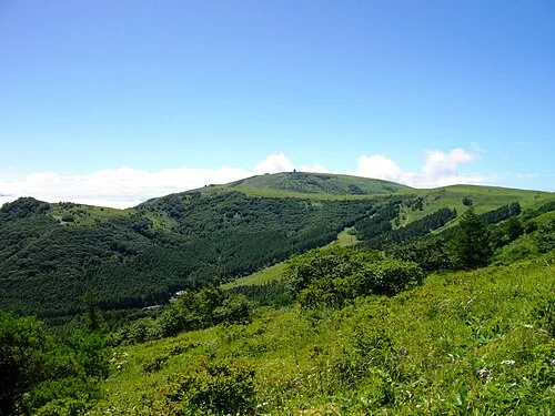 Kurumayama Mountain, Suwa Shi11 km W
-
Yatsugatake Mountains Mountain, Japan13 km SE
-
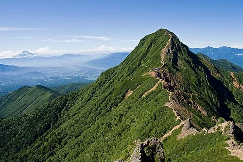 Mount Aka Mountain, Hara Mura14 km S
-
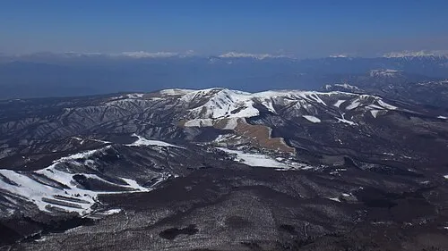 Kirigamine Natural site, Nagano14 km W
-
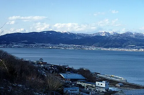 Lake Suwa Lake, Nagano22 km W
Sources & licences
Data last updated: · 2 independent sources