- Population
- 2,052,493
- 2.1M
- Elevation
- 1,601 m
- above sea level
- Local time
- UTC+09:00
- Asia/Tokyo · UTC+09:00
- Places inside
- 39
- listed under Nagano
- Airports
- MMJ Shinshu-Matsumoto Airport11 km
- TOY Toyama Kitokito Airport95 km
About Nagano
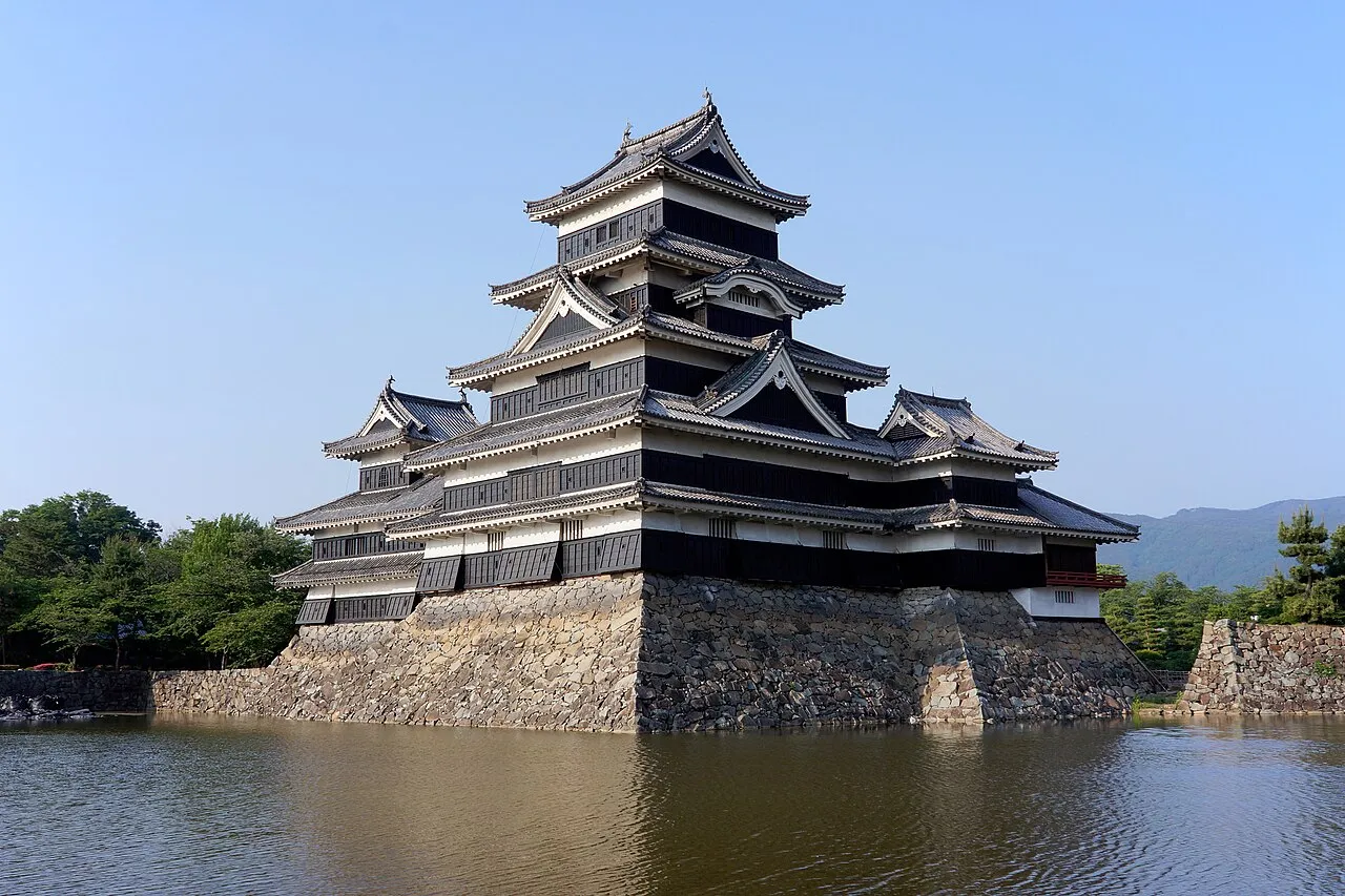
Nagano is a region. Location: Japan. Population: 2,052,493.
Nagano Prefecture (長野県, Nagano-ken; Japanese pronunciation: [nä́.ɡä̀.nò̞, -ŋä̀.nò̞, nä̀.ɡä́.nó̞.kè̞ɴ̀, -ŋä́.nó̞-], locally [nä̀.ŋä́.nó̞]) is a landlocked prefecture of Japan located in the Chūbu region of Honshu. It has a population of 2,007,682 as of 1 July 2023 and a geographic area of 13,561.56 square kilometres (5,236.15 sq mi).
Read more on Wikipedia Text: Wikipedia contributors · CC BY-SA 4.0 · shortened
Places bordering Nagano
Twin towns and sister cities of Nagano
- Missouri· United States
Source: Wikidata. Only places with a page on this site are shown.
Climate of Nagano
Best months for sightseeingBest months for sightseeing: July–August.
Bars: average monthly low and high temperature. Below: precipitation. Monthly averages for 1970–2000 at about 18 km resolution, adjusted for elevation. Highlighted months are mild and relatively dry. Source: WorldClim 2.1 (CC BY 4.0).
Show values as a table
| Month | Jan | Feb | Mar | Apr | May | Jun | Jul | Aug | Sep | Oct | Nov | Dec |
|---|---|---|---|---|---|---|---|---|---|---|---|---|
| Average high (°C) | -1° | -1° | 3° | 10° | 15° | 18° | 22° | 23° | 18° | 12° | 7° | 2° |
| Average low (°C) | -12° | -11° | -8° | -2° | 3° | 8° | 13° | 13° | 9° | 3° | -3° | -9° |
| Precipitation (mm) | 36 | 50 | 83 | 110 | 122 | 192 | 183 | 166 | 202 | 115 | 62 | 31 |
Airports nearest to Nagano
- Shinshu-Matsumoto Airport (MMJ) Matsumoto 11 km
- Toyama Kitokito Airport (TOY) Toyama 95 km
- Nagoya Airport / JASDF Komaki Air Base (NKM) Nagoya 140 km
Straight-line distance; airports with scheduled flights only. Source: OurAirports (public domain).
Places in Nagano
39 places- 1 Nagano Shi 386.1K
- 2 Matsumoto Shi 243.3K
- 3 Ueda Shi 161K
- 4 Iida Shi 105.5K
- 5 Saku Shi 100.2K
- 6 Azumino-Shi 99.1K
- 7 Ina Shi 70.3K
- 8 Shiojiri-shi 68K
- 9 Chikuma Shi 62.4K
- 10 Chino Shi 56.4K
- 11 Okaya Shi 52.3K
- 12 Suzaka-shi 52.2K
- 13 Suwa Shi 51.4K
- 14 Nakano Shi 46.4K
- 15 Komoro Shi 43.6K
- 16 Komagane Shi 33.7K
- 17 Tōmi Shi 31.2K
- 18 Ōmachi-shi 29.6K
- 19 Iiyama Shi 23.1K
Bar: population relative to the most populous place in this list.
-
Chiisakata-gun District
-
Hanishina-gun District
-
Higashichikuma Gun District
-
Kamiina-gun District
-
Kamikōchi Natural site
-
Kamiminochi-gun District
-
Kamitakai-gun District
-
Kirigamine Natural site
-
Kiso-gun District
-
Kitaazumi Gun District
-
Kita-dake Mountain
-
Kitasaku-gun District
-
Lake Nojiri Lake
-
Lake Suwa Lake
-
Minamisaku-gun District
-
Shimoina-gun District
-
Shimominochi-gun District
-
Shimotakai-gun District
-
Suwa-gun District
-
Takase Gawa River
Largest cities and towns



Nature and heritage in Nagano
Sources & licences
Data last updated: · 2 independent sources