Kamikōchi
Local name: 上高地
Located in Nagano, Japan Coordinates: 36°15′06″ N 137°38′17″ E
- Elevation
- 1,507 m
- above sea level
- Local time
- UTC+09:00
- Asia/Tokyo · UTC+09:00
- Airports
- MMJ Shinshu-Matsumoto Airport27 km
- TOY Toyama Kitokito Airport60 km
About Kamikōchi
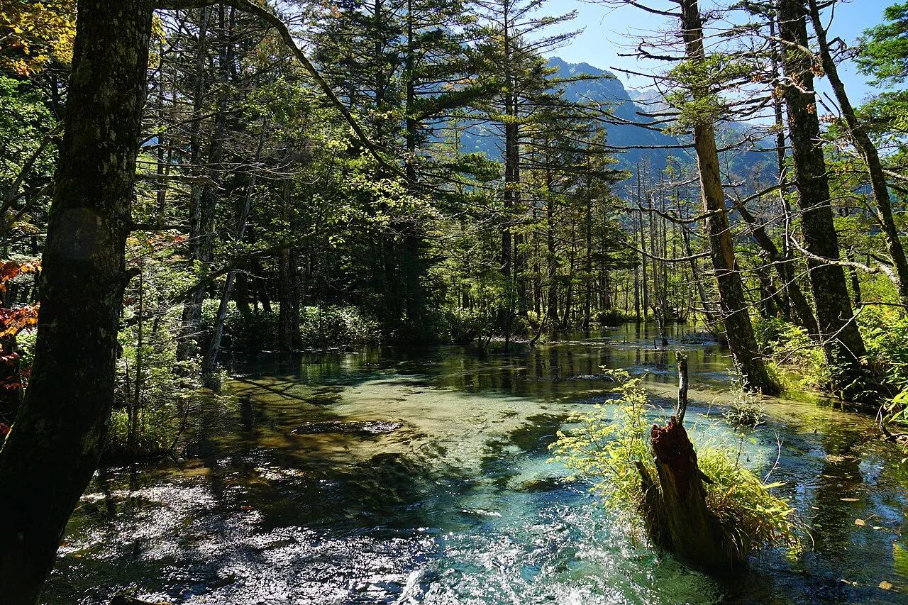
Kamikōchi is a natural site. Location: Nagano, Japan.
Kamikōchi (Japanese: 上高地; lit. Upper Highlands) is a remote mountainous highland valley within the Hida Mountains range, in the western region of Nagano Prefecture, Japan. It has been preserved in its natural state within Chūbu-Sangaku National Park. It is designated as one of Japan's National Cultural Assets, on the list of Special Natural Monuments and Special Places of Scenic Beauty.
Read more on Wikipedia Text: Wikipedia contributors · CC BY-SA 4.0 · shortened
At a glance
- Heritage designation
- Place of Scenic Beauty, Natural Monument of Japan, Special Place of Scenic Beauty
- Official website
- kamikochi.or.jp
Source: Wikidata
Climate of Kamikōchi
Best months for sightseeingBest months for sightseeing: July–September.
Bars: average monthly low and high temperature. Below: precipitation. Monthly averages for 1970–2000 at about 18 km resolution, adjusted for elevation. Highlighted months are mild and relatively dry. Source: WorldClim 2.1 (CC BY 4.0).
Show values as a table
| Month | Jan | Feb | Mar | Apr | May | Jun | Jul | Aug | Sep | Oct | Nov | Dec |
|---|---|---|---|---|---|---|---|---|---|---|---|---|
| Average high (°C) | -2° | -1° | 3° | 10° | 15° | 19° | 22° | 24° | 19° | 14° | 8° | 2° |
| Average low (°C) | -11° | -11° | -8° | -1° | 4° | 9° | 14° | 15° | 11° | 4° | -2° | -8° |
| Precipitation (mm) | 68 | 76 | 113 | 151 | 164 | 240 | 261 | 254 | 263 | 144 | 97 | 67 |
Airports nearest to Kamikōchi
- Shinshu-Matsumoto Airport (MMJ) Matsumoto 27 km
- Toyama Kitokito Airport (TOY) Toyama 60 km
- Komatsu Airport / JASDF Komatsu Air Base (KMQ) Kanazawa 112 km
Straight-line distance; airports with scheduled flights only. Source: OurAirports (public domain).
Nearest towns and villages
-
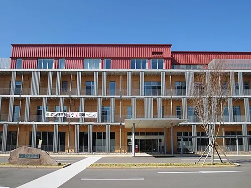 Azumino City, Azumino-Shi23 km E
-
Hotaka Town, Azumino-Shi24 km NE
-
Yamagata Mura Municipality, Higashichikuma Gun23 km SE
-
Toyoshina Town, Azumino-Shi24 km E
-
Matsukawa Mura Municipality, Kitaazumi Gun25 km NE
-
Asahi-mura Municipality, Higashichikuma Gun24 km SE
Nearby attractions & nature
Everything nearby-
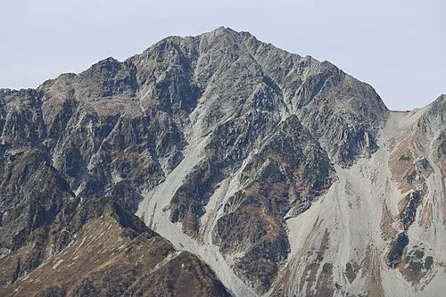 Mount Hotakadake Mountain, Matsumoto Shi4.2 km N
-
 Mount Yake Mountain, Takayama Shi5.3 km SW
-
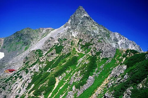 Yariga-take Mountain, Ōmachi-shi10 km N
-
 Kasaga-take Mountain, Takayama Shi11 km NW
-
 Mount Jōnen Mountain, Azumino-Shi12 km NE
-
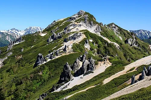 Tsubakuro Dake Mountain, Azumino-Shi19 km N
-
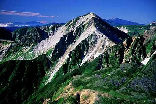 Washū Dake Mountain, Ōmachi-shi17 km N
-
 Mount Kurobegorō Mountain, Takayama Shi18 km NW
More nature in Japan
-
Mount Azumaya Mountain, Chikuhoku Mura42 km NE
-
Hijiri Yama Mountain, Omi Mura43 km NE
-
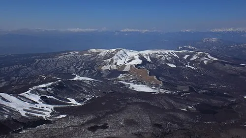 Kirigamine Natural site, Nagano50 km E
-
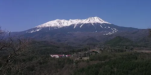 Mount Ontake Mountain, Ōtaki Mura42 km S
-
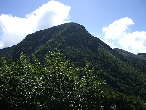 Mount Tengu Mountain, Chino Shi70 km E
-
Mount Kamuriki Mountain, Chikuma Shi48 km NE
Sources & licences
Data last updated: · 2 independent sources