
- Elevation
- 2,897 m
- above sea level
- Local time
- UTC+09:00
- Asia/Tokyo · UTC+09:00
- Airports
- MMJ Shinshu-Matsumoto Airport37 km
- TOY Toyama Kitokito Airport49 km
About Kasaga-take
Kasaga-take is a mountain. Location: Takayama Shi, Gifu. Elevation: 2,897 m.
Mount Kasa (笠ヶ岳, Kasa-ga-take) is one of the 100 Famous Japanese Mountains, reaching the height of 2,897 m (9,505 ft). It is situated in Japan's Hida Mountains in Gifu Prefecture and in Chūbu-Sangaku National Park. The shape of the mountain looks like the Umbrella("Kasa"-笠) in the triangle. Therefore, it became this name. There are many mountains with same name in Japan and this is the tallest.
Source: Wikipedia · CC BY-SA 4.0
Photos of Kasaga-take
-

Tmv · CC BY 4.0 -

Koda6029 · CC BY-SA 4.0 -

Koda6029 · CC BY-SA 4.0 -

Tmv · CC BY 4.0


Climate of Kasaga-take
This month · November
A cold month
Day -1° · Night -11° · Rain 97 mm
Better nearby cities in November
- Kofu · 116 km southeast17°
- Fujinomiya · 156 km southeast18°
- Fuji · 164 km southeast20°
- Hottest month
- August (day 15°)
- Coldest month
- January (night -20°)
- Wettest month
- September (263 mm)
- Driest month
- December (67 mm)
Bars: average monthly low and high temperature. Below: precipitation. Monthly averages for 1970–2000 at about 18 km resolution, adjusted for elevation. Highlighted months are mild and relatively dry. Source: WorldClim 2.1 (CC BY 4.0).
Show values as a table
| Month | Jan | Feb | Mar | Apr | May | Jun | Jul | Aug | Sep | Oct | Nov | Dec |
|---|---|---|---|---|---|---|---|---|---|---|---|---|
| Average high (°C) | -11° | -10° | -6° | 1° | 6° | 10° | 13° | 15° | 10° | 5° | -1° | -7° |
| Average low (°C) | -20° | -20° | -17° | -10° | -5° | 0° | 5° | 6° | 2° | -5° | -11° | -17° |
| Precipitation (mm) | 68 | 76 | 113 | 151 | 164 | 240 | 261 | 254 | 263 | 144 | 97 | 67 |
How to get to Kasaga-take
The nearest airport is Shinshu-Matsumoto Airport (MMJ), 37 km to the southeast as the crow flies. For international flights: Komatsu Airport / JASDF Komatsu Air Base (KMQ) (103 km). The nearest large city is Matsumoto, 38 km to the east.
Airports
- Shinshu-Matsumoto Airport (MMJ) Matsumoto 37 kmsoutheast
- Toyama Kitokito Airport (TOY) Toyama 49 kmnorthwest
- Komatsu Airport / JASDF Komatsu Air Base (KMQ) Kanazawa 103 kmwest
Nearby large cities
- Matsumoto Population: 241.1K 38 kmeast
- Toyama Population: 415.8K 52 kmnorthwest
- Ueda Population: 157.5K 66 kmeast
- Nagano Population: 372.8K 68 kmnortheast
- Takaoka Population: 170.1K 68 kmnorthwest
Straight-line distances; road distances are longer. Airport data: OurAirports.
Day trips from Kasaga-take
Within 100 km: 1 historic or cultural site, 55 natural sites, 16 lakes, rivers and coasts.
0–25 km12 places
- Mount Norikura Mountain 23 kmS
- Mount Kurobegorō Mountain 9 kmN
- Kamikōchi Natural site 11 kmSE
- Mount Suisho Mountain 13 kmN
25–60 km17 places
- Honshu Island 53 kmSE
- Mount Azumaya Mountain 47 kmE
- Hijiri Yama Mountain 46 kmNE
- Jinzu River River 57 kmNW
60–100 km43 places
- Mount Senjō Mountain 87 kmSE
- Mount Nokogiri Mountain 84 kmSE
- Mount Aino Mountain 96 kmSE
- Chausu-yama Mountain 60 kmSE
Straight-line distances.
Nearest towns and villages
-
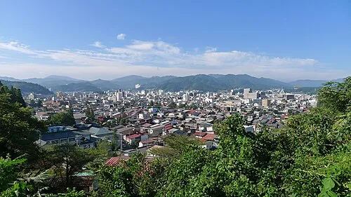 Takayama City, Takayama Shi34 km SW
-
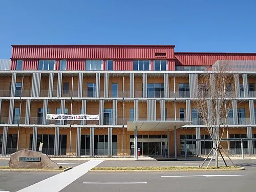 Azumino City, Azumino-Shi30 km E
-
Matsukawa Mura Municipality, Kitaazumi Gun27 km NE
-
Hotaka Town, Azumino-Shi30 km E
-
Tateyama Machi Municipality, Nakaniikawa Gun30 km N
-
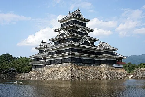 Matsumoto City, Matsumoto Shi38 km E
Nearby attractions & nature
Everything nearby-
 Mount Kurobegorō Mountain, Takayama Shi8.6 km N
-
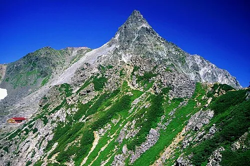 Yariga-take Mountain, Ōmachi-shi9.1 km E
-
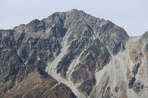 Mount Hotakadake Mountain, Matsumoto Shi9.2 km E
-
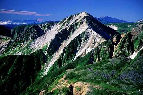 Washū Dake Mountain, Ōmachi-shi11 km NE
-
 Mount Yake Mountain, Takayama Shi10 km S
-
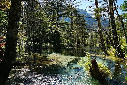 Kamikōchi Natural site, Nagano11 km SE
-
 Mount Suisho Mountain, Toyama Shi13 km N
-
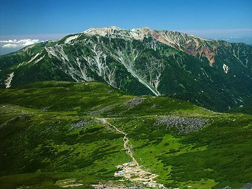 Mount Yakushi Mountain, Toyama Shi17 km N
More nature in Japan
-
 Mount Norikura Mountain, Takayama Shi23 km S
-
Mount Sannomine Mountain, Takayama Shi76 km W
Sources & licences
Data last updated: · 2 independent sources