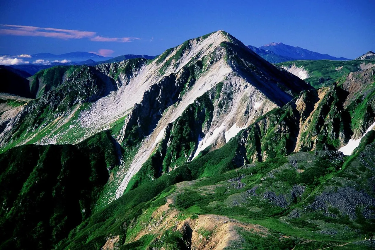
- Elevation
- 2,893 m
- above sea level
- Local time
- UTC+09:00
- Asia/Tokyo · UTC+09:00
- Airports
- MMJ Shinshu-Matsumoto Airport39 km
- TOY Toyama Kitokito Airport46 km
About Washū Dake
Washū Dake is a mountain. Location: Ōmachi-shi, Nagano. Elevation: 2,893 m.
Mount Washiba (鷲羽岳, Washiba-dake) is a peak and complex of volcanoes in the Hida Mountains range of the Japanese Alps at 2924m, located in Nagano Prefecture and Toyama Prefecture, central Honshu, Japan. It is listed in 100 Famous Japanese Mountains.
Source: Wikipedia · CC BY-SA 4.0
Climate of Washū Dake
This month · November
A wet month
Day -1° · Night -11° · Rain 105 mm
Better nearby cities in November
- Kofu · 119 km southeast17°
- Fujinomiya · 160 km southeast18°
- Fuji · 168 km southeast20°
- Hottest month
- August (day 15°)
- Coldest month
- January (night -21°)
- Wettest month
- August (291 mm)
- Driest month
- December (71 mm)
Bars: average monthly low and high temperature. Below: precipitation. Monthly averages for 1970–2000 at about 18 km resolution, adjusted for elevation. Highlighted months are mild and relatively dry. Source: WorldClim 2.1 (CC BY 4.0).
Show values as a table
| Month | Jan | Feb | Mar | Apr | May | Jun | Jul | Aug | Sep | Oct | Nov | Dec |
|---|---|---|---|---|---|---|---|---|---|---|---|---|
| Average high (°C) | -11° | -11° | -7° | 0° | 6° | 10° | 14° | 15° | 11° | 5° | -1° | -8° |
| Average low (°C) | -21° | -20° | -17° | -10° | -5° | 0° | 5° | 6° | 2° | -5° | -11° | -17° |
| Precipitation (mm) | 72 | 79 | 117 | 158 | 178 | 253 | 283 | 291 | 277 | 149 | 105 | 71 |
How to get to Washū Dake
The nearest airport is Shinshu-Matsumoto Airport (MMJ), 39 km to the southeast as the crow flies. For international flights: Komatsu Airport / JASDF Komatsu Air Base (KMQ) (108 km). The nearest large city is Matsumoto, 37 km to the southeast.
Airports
- Shinshu-Matsumoto Airport (MMJ) Matsumoto 39 kmsoutheast
- Toyama Kitokito Airport (TOY) Toyama 46 kmnorthwest
- Komatsu Airport / JASDF Komatsu Air Base (KMQ) Kanazawa 108 kmwest
Nearby large cities
- Matsumoto Population: 241.1K 37 kmsoutheast
- Toyama Population: 415.8K 48 kmnorthwest
- Nagano Population: 372.8K 59 kmnortheast
- Ueda Population: 157.5K 61 kmeast
- Takaoka Population: 170.1K 65 kmnorthwest
Straight-line distances; road distances are longer. Airport data: OurAirports.
Nearest towns and villages
-
Matsukawa Mura Municipality, Kitaazumi Gun20 km E
-
Ōmachi City, Ōmachi-shi26 km NE
-
Tateyama Machi Municipality, Nakaniikawa Gun22 km NW
-
 Azumino City, Azumino-Shi28 km SE
-
Hotaka Town, Azumino-Shi26 km E
-
 Ikeda Town, Ikeda Machi25 km E
Nearby attractions & nature
Everything nearby-
 Mount Suisho Mountain, Toyama Shi2.8 km N
-
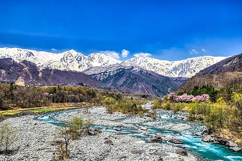 Hida-sammyaku Mountain, Japan2.7 km NE
-
 Mount Kurobegorō Mountain, Takayama Shi6 km W
-
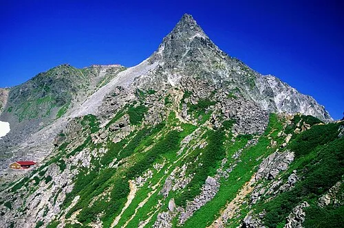 Yariga-take Mountain, Ōmachi-shi7.7 km SE
-
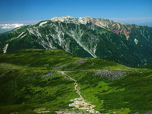 Mount Yakushi Mountain, Toyama Shi9.2 km NW
-
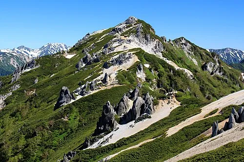 Tsubakuro Dake Mountain, Azumino-Shi9.6 km E
-
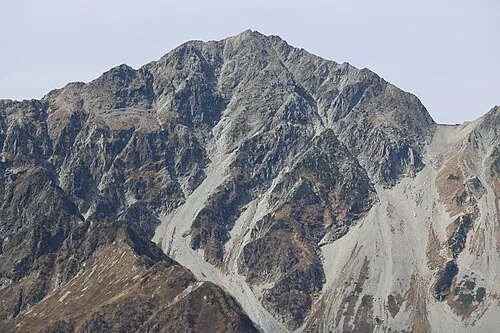 Mount Hotakadake Mountain, Matsumoto Shi13 km S
-
 Mount Jōnen Mountain, Azumino-Shi14 km SE
Sources & licences
Data last updated: · 2 independent sources