Yariga-take
Local name: 槍ヶ岳
Located in Ōmachi-shi, Nagano Coordinates: 36°20′31″ N 137°38′49″ E
- Elevation
- 3,180 m
- above sea level
- Local time
- UTC+09:00
- Asia/Tokyo · UTC+09:00
- Airports
- MMJ Shinshu-Matsumoto Airport32 km
- TOY Toyama Kitokito Airport53 km
About Yariga-take
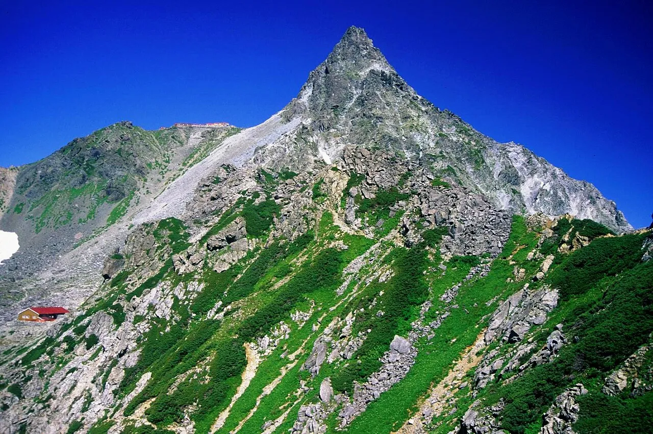
Yariga-take is a mountain. Location: Ōmachi-shi, Nagano. Elevation: 3,180 m.
Mount Yari (槍ヶ岳, Yari-ga-take) is one of the 100 Famous Japanese Mountains. The 3,180-metre-high (10,433 ft) peak lies in the southern part of the Hida Mountains (Northern Alps) of Japan, on the border of Ōmachi and Matsumoto in Nagano Prefecture and Takayama in Gifu Prefecture. The priest Banryū (1786–1840) founded a temple there. The headwater of Japan's longest river, the Shinano River, begins here as the Azusa River.
Source: Wikipedia · CC BY-SA 4.0
Climate of Yariga-take
This month · November
A wet month
Day -3° · Night -13° · Rain 105 mm
Better nearby cities in November
- Kofu · 112 km southeast17°
- Fujinomiya · 153 km southeast18°
- Fuji · 161 km southeast20°
- Hottest month
- August (day 13°)
- Coldest month
- January (night -23°)
- Wettest month
- August (291 mm)
- Driest month
- December (71 mm)
Bars: average monthly low and high temperature. Below: precipitation. Monthly averages for 1970–2000 at about 18 km resolution, adjusted for elevation. Highlighted months are mild and relatively dry. Source: WorldClim 2.1 (CC BY 4.0).
Show values as a table
| Month | Jan | Feb | Mar | Apr | May | Jun | Jul | Aug | Sep | Oct | Nov | Dec |
|---|---|---|---|---|---|---|---|---|---|---|---|---|
| Average high (°C) | -13° | -12° | -9° | -1° | 4° | 8° | 12° | 13° | 9° | 3° | -3° | -9° |
| Average low (°C) | -23° | -22° | -19° | -12° | -7° | -2° | 3° | 4° | 0° | -7° | -13° | -19° |
| Precipitation (mm) | 72 | 79 | 117 | 158 | 178 | 253 | 283 | 291 | 277 | 149 | 105 | 71 |
How to get to Yariga-take
The nearest airport is Shinshu-Matsumoto Airport (MMJ), 32 km to the southeast as the crow flies. For international flights: Komatsu Airport / JASDF Komatsu Air Base (KMQ) (111 km). The nearest large city is Matsumoto, 31 km to the southeast.
Airports
- Shinshu-Matsumoto Airport (MMJ) Matsumoto 32 kmsoutheast
- Toyama Kitokito Airport (TOY) Toyama 53 kmnorthwest
- Komatsu Airport / JASDF Komatsu Air Base (KMQ) Kanazawa 111 kmwest
Nearby large cities
- Matsumoto Population: 241.1K 31 kmsoutheast
- Toyama Population: 415.8K 55 kmnorthwest
- Ueda Population: 157.5K 57 kmeast
- Nagano Population: 372.8K 59 kmnortheast
- Takaoka Population: 170.1K 72 kmnorthwest
Straight-line distances; road distances are longer. Airport data: OurAirports.
Day trips from Yariga-take
Within 100 km: 1 historic or cultural site, 59 natural sites, 13 lakes, rivers and coasts.
0–25 km12 places
- Kasaga-take Mountain 9 kmW
- Mount Kurobegorō Mountain 11 kmNW
- Kamikōchi Natural site 10 kmS
- Mount Suisho Mountain 10 kmNW
25–60 km19 places
- Honshu Island 49 kmSE
- Mount Norikura Mountain 27 kmS
- Mount Azumaya Mountain 38 kmE
- Hijiri Yama Mountain 37 kmNE
60–100 km42 places
- Mount Senjō Mountain 84 kmSE
- Mount Nokogiri Mountain 80 kmSE
- Mount Aino Mountain 93 kmSE
- Chausu-yama Mountain 60 kmS
Straight-line distances.
Nearest towns and villages
Nearby attractions & nature
Everything nearby-
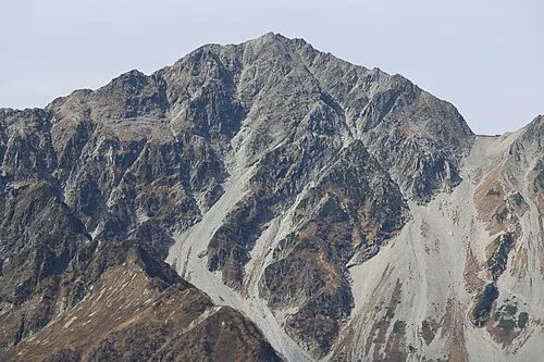 Mount Hotakadake Mountain, Matsumoto Shi5.8 km S
-
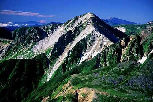 Washū Dake Mountain, Ōmachi-shi7.7 km NW
-
 Mount Jōnen Mountain, Azumino-Shi7.5 km E
-
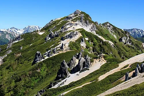 Tsubakuro Dake Mountain, Azumino-Shi9.5 km NE
-
 Mount Suisho Mountain, Toyama Shi10 km NW
-
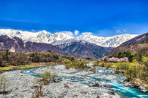 Hida-sammyaku Mountain, Japan8.8 km N
-
 Mount Kurobegorō Mountain, Takayama Shi11 km NW
-
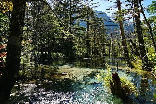 Kamikōchi Natural site, Nagano10 km S
Sources & licences
Data last updated: · 2 independent sources