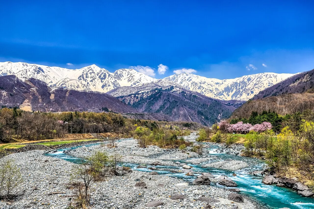
- Elevation
- 2,484 m
- above sea level
- Local time
- UTC+09:00
- Asia/Tokyo · UTC+09:00
- Airports
- MMJ Shinshu-Matsumoto Airport39 km
- TOY Toyama Kitokito Airport47 km
About Hida-sammyaku
Hida-sammyaku is a mountain. Location: Japan. Elevation: 2,484 m.
The Hida Mountains (飛騨山脈, Hida Sanmyaku), or Northern Alps (北アルプス, Kita Arupusu), is a Japanese mountain range which stretches through Nagano, Toyama and Gifu prefectures. A small portion of the mountains also reach into Niigata Prefecture. William Gowland coined the phrase "Japanese Alps" during his time in Japan, but he was only referring to the Hida Mountains when he used that name. The Kiso and Akaishi mountains received the name in the ensuing years.
Read more on Wikipedia Text: Wikipedia contributors · CC BY-SA 4.0 · shortened
At a glance
- Length
- 105 km
Source: Wikidata
Climate of Hida-sammyaku
Bars: average monthly low and high temperature. Below: precipitation. Monthly averages for 1970–2000 at about 18 km resolution, adjusted for elevation. Highlighted months are mild and relatively dry. Source: WorldClim 2.1 (CC BY 4.0).
Show values as a table
| Month | Jan | Feb | Mar | Apr | May | Jun | Jul | Aug | Sep | Oct | Nov | Dec |
|---|---|---|---|---|---|---|---|---|---|---|---|---|
| Average high (°C) | -9° | -8° | -4° | 3° | 8° | 13° | 16° | 18° | 14° | 8° | 1° | -5° |
| Average low (°C) | -18° | -18° | -14° | -7° | -2° | 3° | 8° | 9° | 5° | -2° | -8° | -15° |
| Precipitation (mm) | 72 | 79 | 117 | 158 | 178 | 253 | 283 | 291 | 277 | 149 | 105 | 71 |
Airports nearest to Hida-sammyaku
- Shinshu-Matsumoto Airport (MMJ) Matsumoto 39 km
- Toyama Kitokito Airport (TOY) Toyama 47 km
- Komatsu Airport / JASDF Komatsu Air Base (KMQ) Kanazawa 109 km
Straight-line distance; airports with scheduled flights only. Source: OurAirports (public domain).
Nearest towns and villages
-
Matsukawa Mura Municipality, Kitaazumi Gun18 km E
-
Tateyama Machi Municipality, Nakaniikawa Gun21 km NW
-
Ōmachi City, Ōmachi-shi23 km NE
-
 Azumino City, Azumino-Shi28 km SE
-
Hotaka Town, Azumino-Shi25 km E
-
 Ikeda Town, Ikeda Machi23 km E
Nearby attractions & nature
Everything nearby-
 Mount Suisho Mountain, Toyama Shi2.4 km W
-
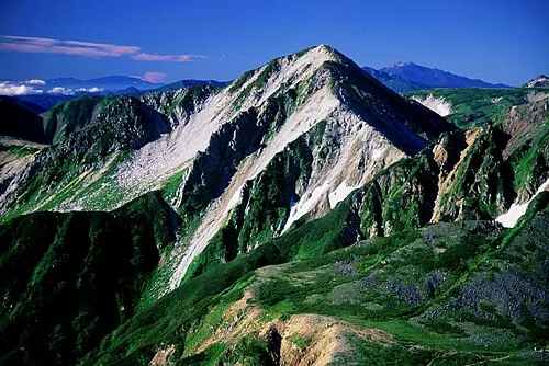 Washū Dake Mountain, Ōmachi-shi2.7 km SW
-
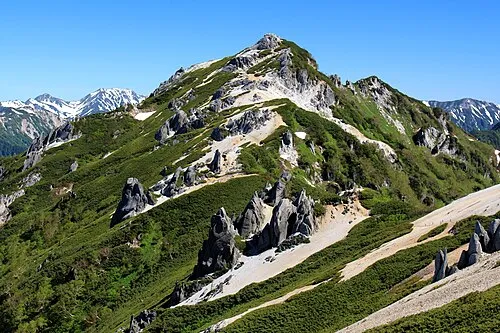 Tsubakuro Dake Mountain, Azumino-Shi7.8 km E
-
 Mount Kurobegorō Mountain, Takayama Shi8.4 km W
-
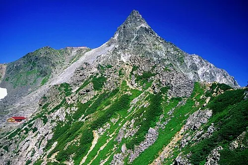 Yariga-take Mountain, Ōmachi-shi8.8 km S
-
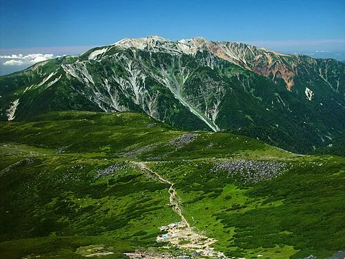 Mount Yakushi Mountain, Toyama Shi9.2 km NW
-
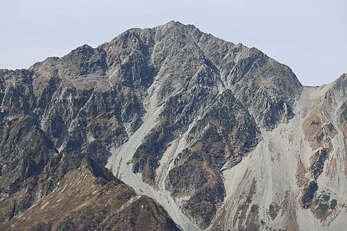 Mount Hotakadake Mountain, Matsumoto Shi15 km S
-
 Mount Jōnen Mountain, Azumino-Shi14 km SE
More nature in Japan
-
 Kasaga-take Mountain, Takayama Shi13 km SW
-
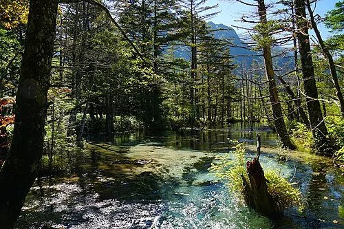 Kamikōchi Natural site, Nagano19 km S
-
Mount Tate Mountain, Tateyama Machi17 km N
-
 Mount Yake Mountain, Takayama Shi22 km S
-
 Mount Tsurugi Mountain, Japan23 km N
-
 Mount Norikura Mountain, Takayama Shi35 km S
Sources & licences
Data last updated: · 2 independent sources