Matsumoto
Local name: 松本市
Located in Matsumoto Shi, Nagano Coordinates: 36°14′00″ N 137°58′00″ E
- Population
- 241,145
- 241.1K
- Elevation
- 593 m
- above sea level
- Local time
- UTC+09:00
- Asia/Tokyo · UTC+09:00
- Airports
- MMJ Shinshu-Matsumoto Airport8 km
- TOY Toyama Kitokito Airport84 km
About Matsumoto
Matsumoto is a city. Location: Matsumoto Shi, Nagano. Population: 241,145. Elevation: 593 m.
Matsumoto (松本市, Matsumoto-shi; Japanese pronunciation: [mä̀.t͡sɨ́.mó̞.tó̞(.ɕì)]) is a city located in Nagano Prefecture, Japan. Matsumoto is designated as a core city since 1 April 2021. As of 1 March 2019, the city had a population of 239,466 in 105,207 households and a population density of 240 persons per km2. The total area of the city is 978.47 square kilometres (377.79 sq mi).
Source: Wikipedia · CC BY-SA 4.0
Photos of Matsumoto
-

Fckmarcsaar · CC BY-SA 4.0 -

Ray Swi-hymn from Sijhih-Taipei, Taiwan · CC BY-SA 2.0 -

なごやか · CC0 -

迷惘的人生 · CC BY-SA 2.0 -

Syced · CC0


Travel notes for Matsumoto
From Wikivoyage
Matsumoto (松本) is a city in Nagano at the eastern end of the Japan Alps. Kamikochi resort area in it has a separate article.
Understand+
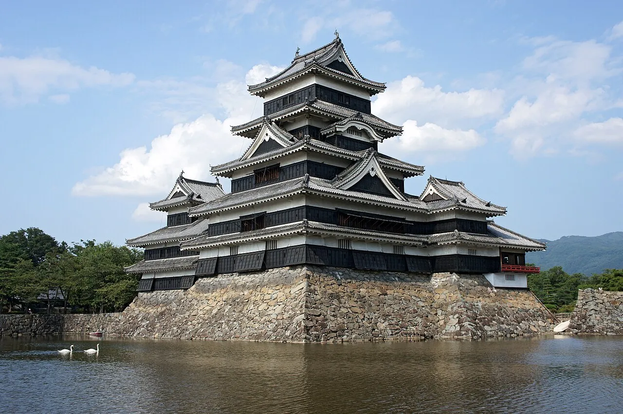
Matsumoto is best known as the home of Matsumoto Castle, one of Japan's 12 original castles.
Tourist information site:
Visit Matsumoto is the city's official multilingual guide site.
Get in+
By plane:
1 Matsumoto Airport (MMJ IATA). A small local airport, with commercial flights only from Osaka, Sapporo, and Fukuoka. Travel time to downtown is roughly 20 minutes.
From the closest major airport, Chubu Centrair International Airport (NGO IATA) near Nagoya, Matsumoto can be reached by rail in roughly three hours by the Meitetsu line and JR limited express train (change in Nagoya). Buses connect Centrair with Matsumoto in around 3½–4 hr for ¥3,500.
From Narita Airport (NRT IATA), Matsumoto can be reached in 4½–5 hr by limited express rail service (change in Shinjuku).
By rail:
Matsumoto is located on the JR Shinonoi Line. It is four stops away from Shiojiri, the "mid-point" of the Chuo Main Line between Tokyo and Nagoya. There is a tourist information center inside the train station.
Limited express trains run to Matsumoto from Tokyo's Shinjuku station. The Azusa (あずさ) makes the journey in about 2¾ hr (¥6,500). Local trains also make the trip, but it's cheaper and faster to go by bus.
There's also the option of taking the Hokuriku Shinkansen Kagayaki (かがやき), Hakutaka (はくたか), or Asama (あさま) from Tokyo to Nagano station, then taking the Wide View Shinano (ワイドビューしなの) limited express to Matsumoto (2½–3 hr, ¥8,470).
The Wide View Shinano also runs from Nagoya station, where there are connections with the Tokaido Shinkansen (towards Kyoto and Osaka). The run from Nagoya to Matsumoto takes 2 hr on the limited express and costs ¥5,830; local trains cost ¥3,350 and take between 4–5 hr, depending on the available trains and connections.
All of the above-mentioned rail trips are free when using the Japan Rail Pass.
By bus:
Highway buses from JR Matsumoto station connect to Shinjuku in Tokyo (3 hr, ¥3,400), Nagoya (3¼ hr, ¥3,460), and various destinations in the Japan Alps, notably the Oku-Hida Onsen Villages (1½ hr, ¥2,300–2,800).
By car:
Source: Wikivoyage · CC BY-SA 4.0 · abridged
Places bordering Matsumoto
- Shiojiri-shi
- Azumino
- Ōmachi-shi
- Okaya
- Ueda
- Shimosuwa Machi
- Yamagata Mura
- Asahi-mura
- Chikuhoku Mura
- Aoki
- Kiso Machi
- Kiso Mura
- Takayama
Twin towns and sister cities of Matsumoto
- Himeji· Japan
- Salt Lake City· United States
- Fujisawa· Japan
- Takayama· Japan
- Kanazawa· Japan
- Sapporo· Japan
- Kagoshima· Japan
Source: Wikidata. Only places with a page on this site are shown.
Population of Matsumoto over time
| 2010 | 243,037 | |
|---|---|---|
| 2015 | 243,293 | |
| 2021 | 239,115 |
Censuses and official estimates; source: Wikidata.
Climate of Matsumoto
Best months for sightseeingBest months for sightseeing: May–June, September–October.
This month · November
Outside the best season
Day 13° · Night 2° · Rain 60 mm
Better nearby cities in November
- Kofu · 83 km southeast17°
- Fujinomiya · 127 km southeast18°
- Fuji · 135 km southeast20°
- Hottest month
- August (day 30°)
- Coldest month
- January (night -6°)
- Wettest month
- September (170 mm)
- Driest month
- December (33 mm)
Bars: average monthly low and high temperature. Below: precipitation. Monthly averages for 1970–2000 at about 18 km resolution, adjusted for elevation. Highlighted months are mild and relatively dry. Source: WorldClim 2.1 (CC BY 4.0).
Show values as a table
| Month | Jan | Feb | Mar | Apr | May | Jun | Jul | Aug | Sep | Oct | Nov | Dec |
|---|---|---|---|---|---|---|---|---|---|---|---|---|
| Average high (°C) | 4° | 5° | 9° | 17° | 22° | 25° | 28° | 30° | 24° | 18° | 13° | 7° |
| Average low (°C) | -6° | -6° | -2° | 4° | 9° | 14° | 19° | 19° | 15° | 8° | 2° | -3° |
| Precipitation (mm) | 41 | 50 | 79 | 94 | 101 | 160 | 147 | 107 | 170 | 99 | 60 | 33 |
Other places to visit in this season: May June September October
How to get to Matsumoto
The nearest airport is Shinshu-Matsumoto Airport (MMJ), 8 km to the southwest as the crow flies. For international flights: Komatsu Airport / JASDF Komatsu Air Base (KMQ) (141 km). The nearest large city is Ueda, 34 km to the northeast.
Airports
- Shinshu-Matsumoto Airport (MMJ) Matsumoto 8 kmsouthwest
- Toyama Kitokito Airport (TOY) Toyama 84 kmnorthwest
- Komatsu Airport / JASDF Komatsu Air Base (KMQ) Kanazawa 141 kmwest
Nearby large cities
- Ueda Population: 157.5K 34 kmnortheast
- Nagano Population: 372.8K 50 kmnortheast
- Iida Population: 101.5K 80 kmsouth
- Kofu Population: 189.6K 83 kmsoutheast
- Toyama Population: 415.8K 85 kmnorthwest
Straight-line distances; road distances are longer. Airport data: OurAirports.
Day trips from Matsumoto
Within 100 km: 1 historic or cultural site, 63 natural sites, 13 lakes, rivers and coasts.
0–25 km6 places
- Mount Azumaya Mountain 22 kmN
- Lake Suwa Lake 23 kmSE
- Kirigamine Natural site 23 kmSE
- Mount Jōnen Mountain 24 kmNW
25–60 km34 places
- Honshu Island 26 kmS
- Mount Nokogiri Mountain 55 kmSE
- Chausu-yama Mountain 48 kmS
- Mount Sannosawa Mountain 54 kmS
60–100 km37 places
- Mount Senjō Mountain 60 kmS
- Mount Aino Mountain 69 kmS
- Mount Shiomi Mountain 76 kmS
- Arakawa-dake Mountain 84 kmS
Straight-line distances.
Matsumoto and similar cities
Side by side with cities of similar size in the same country: population, elevation and climate.
| Measure | Matsumoto | Tsukuba | Yamato | Chōfu |
|---|---|---|---|---|
| Population | 241.1K | 241.7K | 242.1K | 242.6K |
| Elevation | 593 m | 27 m | 53 m | 44 m |
| Summer day (hottest month) | 30° | 29° | 30° | 30° |
| Winter night (coldest month) | -6° | -2° | 0° | 0° |
| Annual rainfall | 1,141 mm | 1,326 mm | 1,663 mm | 1,545 mm |
| Best months | May–Jun, Sep–Oct | May–Jun, Sep–Oct | May–Jun, Oct | May–Jun, Oct |
| Distance | — | 194 km | 158 km | 156 km |
Climate values are 1970–2000 monthly averages; straight-line distance.
Nearby attractions & nature
Everything nearby-
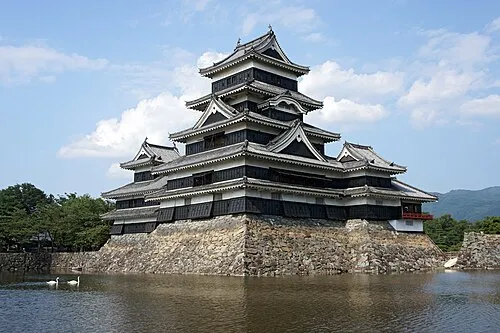 Matsumoto Castle Historic site, Matsumoto Shi0.7 km N
-
Takase Gawa River, Nagano14 km N
-
 Mount Jōnen Mountain, Azumino-Shi24 km NW
-
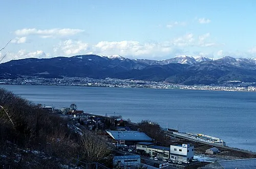 Lake Suwa Lake, Nagano23 km SE
-
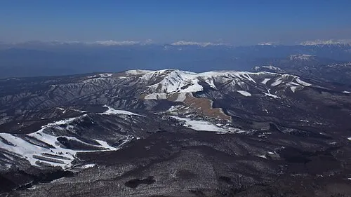 Kirigamine Natural site, Nagano23 km SE
-
Mount Azumaya Mountain, Chikuhoku Mura22 km N
Sources & licences
Data last updated: · 2 independent sources