Matsumoto Castle
Local name: 松本城
Located in Matsumoto Shi, Nagano Coordinates: 36°14′20″ N 137°58′09″ E
- Local time
- UTC+09:00
- Asia/Tokyo · UTC+09:00
- Elevation
- 594 m
- above sea level
- Airports
- MMJ Shinshu-Matsumoto Airport9 km
- TOY Toyama Kitokito Airport84 km
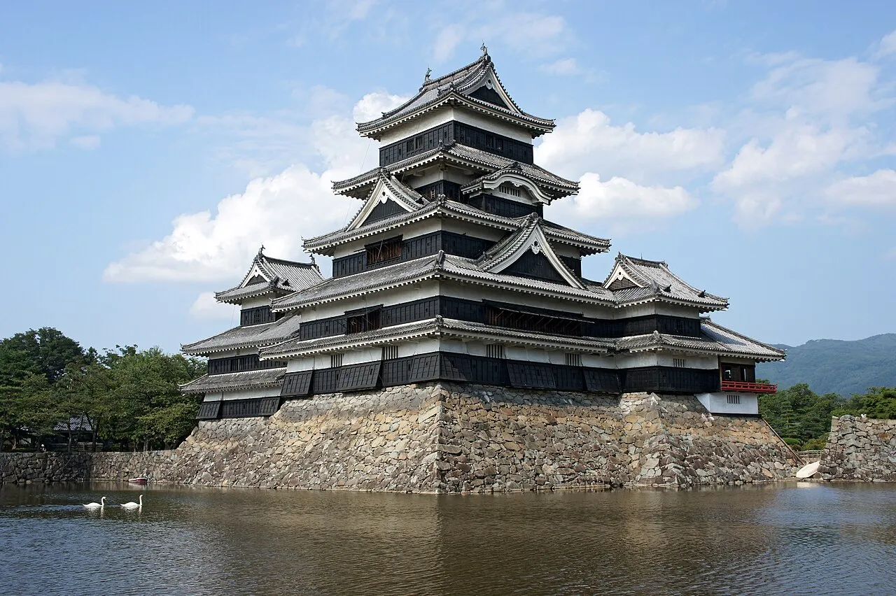
About Matsumoto Castle
Matsumoto Castle is a historic site. Location: Matsumoto Shi, Nagano.
Matsumoto Castle (松本城, Matsumoto-jō), originally known as Fukashi Castle, is a castle in city of Matsumoto, Nagano Prefecture. It is one of Japan's premier historic castles, along with Himeji and Kumamoto. It was the seat of Matsumoto Domain under the Edo Period Tokugawa shogunate. The keep (天守閣, tenshukaku), which was completed in the late sixteenth century, maintains its original wooden interiors and external stonework.
Source: Wikipedia · CC BY-SA 4.0
At a glance
- Built
- 1504
- Heritage designation
- National Treasure of Japan, Historic Site of Japan
- Official website
- matsumoto-castle.jp
Source: Wikidata
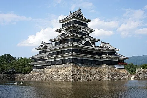
Photos of Matsumoto Castle
-

Spudgun67 · CC0 -

663highland · CC BY-SA 4.0 -

Syced · CC0


Climate of Matsumoto Castle
Best months for sightseeingBest months for sightseeing: May–June, September–October.
This month · November
Outside the best season
Day 13° · Night 2° · Rain 60 mm
Better nearby cities in November
- Kofu · 83 km southeast17°
- Fujinomiya · 128 km southeast18°
- Fuji · 136 km southeast20°
- Hottest month
- August (day 30°)
- Coldest month
- January (night -6°)
- Wettest month
- September (170 mm)
- Driest month
- December (33 mm)
Bars: average monthly low and high temperature. Below: precipitation. Monthly averages for 1970–2000 at about 18 km resolution, adjusted for elevation. Highlighted months are mild and relatively dry. Source: WorldClim 2.1 (CC BY 4.0).
Show values as a table
| Month | Jan | Feb | Mar | Apr | May | Jun | Jul | Aug | Sep | Oct | Nov | Dec |
|---|---|---|---|---|---|---|---|---|---|---|---|---|
| Average high (°C) | 4° | 5° | 9° | 17° | 22° | 25° | 28° | 30° | 24° | 18° | 13° | 7° |
| Average low (°C) | -6° | -6° | -2° | 4° | 9° | 14° | 19° | 19° | 15° | 8° | 2° | -3° |
| Precipitation (mm) | 41 | 50 | 79 | 94 | 101 | 160 | 147 | 107 | 170 | 99 | 60 | 33 |
Other places to visit in this season: May June September October
How to get to Matsumoto Castle
The nearest airport is Shinshu-Matsumoto Airport (MMJ), 9 km to the southwest as the crow flies. For international flights: Komatsu Airport / JASDF Komatsu Air Base (KMQ) (141 km). The nearest large city is Matsumoto, 1 km to the south.
Airports
- Shinshu-Matsumoto Airport (MMJ) Matsumoto 9 kmsouthwest
- Toyama Kitokito Airport (TOY) Toyama 84 kmnorthwest
- Komatsu Airport / JASDF Komatsu Air Base (KMQ) Kanazawa 141 kmwest
Nearby large cities
- Matsumoto Population: 241.1K 1 kmsouth
- Ueda Population: 157.5K 33 kmnortheast
- Nagano Population: 372.8K 49 kmnortheast
- Iida Population: 101.5K 81 kmsouth
- Kofu Population: 189.6K 83 kmsoutheast
Straight-line distances; road distances are longer. Airport data: OurAirports.
Day trips from Matsumoto Castle
Within 100 km: 1 historic or cultural site, 63 natural sites, 13 lakes, rivers and coasts.
0–25 km5 places
- Mount Azumaya Mountain 21 kmN
- Lake Suwa Lake 23 kmSE
- Kirigamine Natural site 24 kmSE
- Mount Jōnen Mountain 24 kmNW
25–60 km34 places
- Honshu Island 27 kmS
- Mount Nokogiri Mountain 55 kmSE
- Chausu-yama Mountain 49 kmS
- Mount Sannosawa Mountain 55 kmS
60–100 km38 places
- Mount Senjō Mountain 61 kmS
- Mount Aino Mountain 70 kmS
- Mount Shiomi Mountain 76 kmS
- Arakawa-dake Mountain 85 kmS
Straight-line distances.
Nearby attractions & nature
Everything nearby-
 Mount Jōnen Mountain, Azumino-Shi24 km NW
-
 Takase Gawa River, Nagano13 km N
-
Mount Azumaya Mountain, Chikuhoku Mura21 km N
-
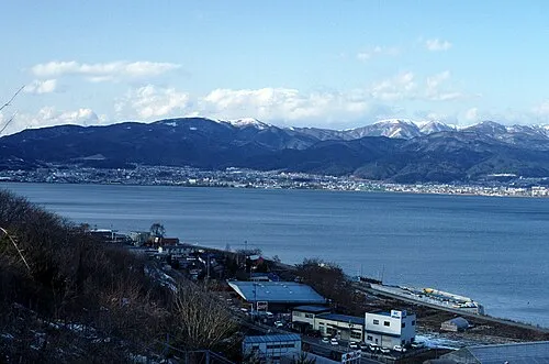 Lake Suwa Lake, Nagano23 km SE
-
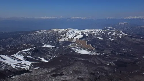 Kirigamine Natural site, Nagano24 km SE
Nearest towns and villages
Sources & licences
Data last updated: · 2 independent sources