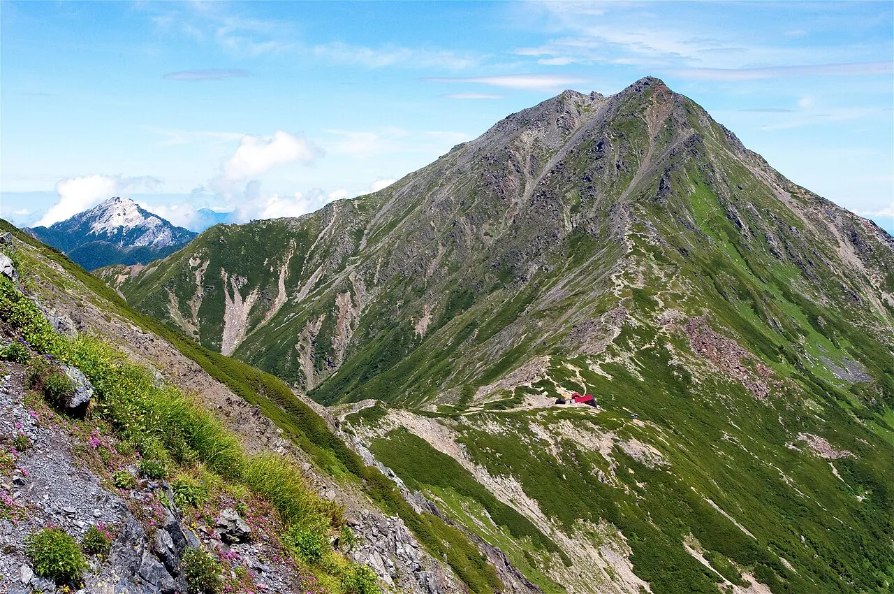
- Elevation
- 3,193 m
- above sea level
- Local time
- UTC+09:00
- Asia/Tokyo · UTC+09:00
- Airports
- MMJ Shinshu-Matsumoto Airport62 km
- FSZ Mount Fuji Shizuoka Airport98 km
About Kita-dake
Kita-dake is a mountain. Location: Nagano, Japan. Elevation: 3,193 m.
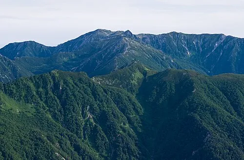
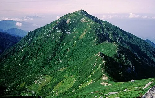
Mount Kita (北岳, Kita-dake) is a mountain of the Akaishi Mountains−"Southern Alps" (南アルプス Minami-Arupusu), in Yamanashi Prefecture, Japan. It is the second highest mountain in Japan, after Mount Fuji, and is known as "the Leader of the Southern Alps". It is included in the 100 Famous Japanese Mountains. It is located in Minami Alps National Park, near the city of Minami-Alps, Yamanashi Prefecture.
Read more on Wikipedia Text: Wikipedia contributors · CC BY-SA 4.0 · shortened
At a glance
- Topographic prominence
- 2,239 m
Source: Wikidata
Climate of Kita-dake
Bars: average monthly low and high temperature. Below: precipitation. Monthly averages for 1970–2000 at about 18 km resolution, adjusted for elevation. Highlighted months are mild and relatively dry. Source: WorldClim 2.1 (CC BY 4.0).
Show values as a table
| Month | Jan | Feb | Mar | Apr | May | Jun | Jul | Aug | Sep | Oct | Nov | Dec |
|---|---|---|---|---|---|---|---|---|---|---|---|---|
| Average high (°C) | -10° | -10° | -6° | 0° | 5° | 8° | 12° | 13° | 9° | 3° | -2° | -7° |
| Average low (°C) | -20° | -20° | -17° | -11° | -6° | -1° | 3° | 4° | 1° | -6° | -12° | -17° |
| Precipitation (mm) | 41 | 61 | 106 | 147 | 166 | 247 | 243 | 279 | 268 | 153 | 81 | 39 |
Airports nearest to Kita-dake
- Shinshu-Matsumoto Airport (MMJ) Matsumoto 62 km
- Mount Fuji Shizuoka Airport (FSZ) Makinohara / Shimada 98 km
- Nagoya Airport / JASDF Komaki Air Base (NKM) Nagoya 128 km
Straight-line distance; airports with scheduled flights only. Source: OurAirports (public domain).
Nearest towns and villages
-
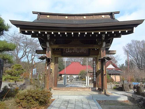 Nirasaki City, Nirasaki Shi19 km E
-
Fujikawa Town Municipality, Minamikoma-gun18 km SE
-
Minami-Alps City, Minami Alps Shi21 km E
-
Ōshika Mura Municipality, Shimoina-gun20 km SW
-
Minamiarupusu Town, Minami Alps Shi22 km E
-
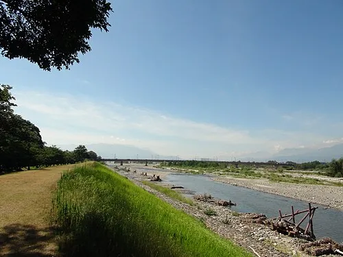 Ryūō Town, Minami Alps Shi24 km E
Nearby attractions & nature
Everything nearby-
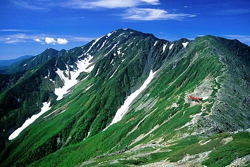 Mount Aino Mountain, Aoi-ku3.2 km S
-
 Mount Senjō Mountain, Ina Shi7.1 km NW
-
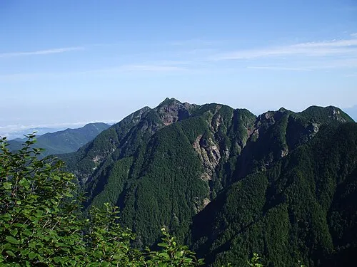 Mount Nokogiri Mountain, Japan12 km N
-
 Mount Shiomi Mountain, Aoi-ku12 km SW
-
 Arakawa-dake Mountain, Japan21 km S
-
 Mount Akaishi Mountain, Aoi-ku25 km S
More nature in Japan
-
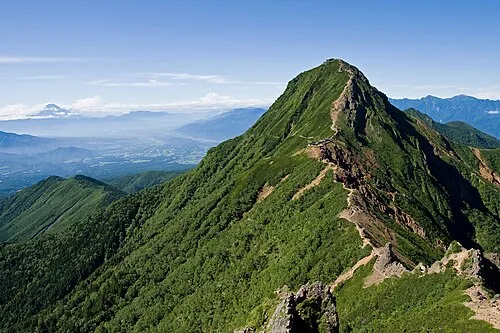 Mount Aka Mountain, Hara Mura35 km N
-
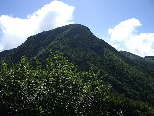 Mount Tengu Mountain, Chino Shi40 km N
-
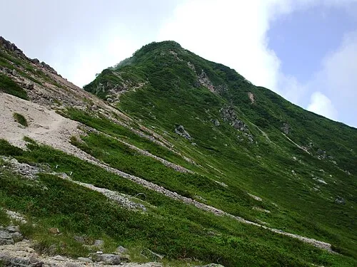 Mount Neishi Mountain, Minamimaki Mura40 km N
-
Chausu-yama Mountain, Shiojiri-shi41 km NW
-
 Kiso Komaga-take Mountain, Kiso Machi41 km W
-
 Mount Sannosawa Mountain, Agematsu Machi41 km W
Sources & licences
Data last updated: · 2 independent sources