- Elevation
- 2,956 m
- above sea level
- Local time
- UTC+09:00
- Asia/Tokyo · UTC+09:00
- Airports
- MMJ Shinshu-Matsumoto Airport43 km
- NKM Nagoya Airport / JASDF Komaki Air Base99 km
About Kiso Komaga-take
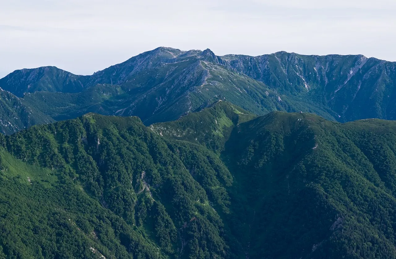
Kiso Komaga-take is a mountain. Location: Kiso Machi, Kiso-gun. Elevation: 2,956 m.
Mount Kisokoma (木曽駒ヶ岳, Kisokoma-ga-take) is a mountain located in Miyada, Kamiina District, and Kiso and Agematsu, Kiso District, Nagano Prefecture, in the Chūbu region of Japan. It is 2,956 m (9,698 ft) tall and is the tallest peak in the Kiso Mountains. It is also included on the list of "100 Famous Japanese Mountains." Sometimes its name is just shortened to Kisokoma. Alternative kanji for the name are 木曾駒ヶ岳 (Kisokoma-ga-take).
Source: Wikipedia · CC BY-SA 4.0
At a glance
- Topographic prominence
- 1,751 m
Source: Wikidata
Photos of Kiso Komaga-take
-

Alpsdake · CC BY-SA 4.0 -

Alpsdake · CC BY-SA 4.0 -

Σ64 · CC BY 3.0 -
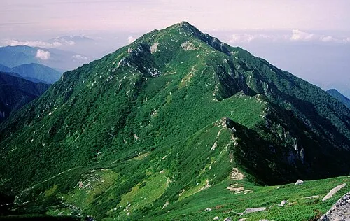
Mount Sannosawa Alpsdake · CC0


Climate of Kiso Komaga-take
This month · November
A cold month
Day -1° · Night -11° · Rain 86 mm
Better nearby cities in November
- Kofu · 70 km east17°
- Fujinomiya · 97 km southeast18°
- Fuji · 106 km southeast20°
- Hottest month
- August (day 14°)
- Coldest month
- January (night -20°)
- Wettest month
- September (264 mm)
- Driest month
- December (50 mm)
Bars: average monthly low and high temperature. Below: precipitation. Monthly averages for 1970–2000 at about 18 km resolution, adjusted for elevation. Highlighted months are mild and relatively dry. Source: WorldClim 2.1 (CC BY 4.0).
Show values as a table
| Month | Jan | Feb | Mar | Apr | May | Jun | Jul | Aug | Sep | Oct | Nov | Dec |
|---|---|---|---|---|---|---|---|---|---|---|---|---|
| Average high (°C) | -10° | -9° | -5° | 2° | 7° | 10° | 13° | 14° | 10° | 4° | -1° | -6° |
| Average low (°C) | -20° | -19° | -16° | -9° | -5° | 0° | 4° | 5° | 2° | -5° | -11° | -17° |
| Precipitation (mm) | 52 | 68 | 115 | 159 | 168 | 249 | 252 | 250 | 264 | 145 | 86 | 50 |
How to get to Kiso Komaga-take
The nearest airport is Shinshu-Matsumoto Airport (MMJ), 43 km to the north as the crow flies. The nearest large city is Iida, 30 km to the south.
Airports
- Shinshu-Matsumoto Airport (MMJ) Matsumoto 43 kmnorth
- Nagoya Airport / JASDF Komaki Air Base (NKM) Nagoya 99 kmsouthwest
- Toyama Kitokito Airport (TOY) Toyama 110 kmnorthwest
Nearby large cities
- Iida Population: 101.5K 30 kmsouth
- Matsumoto Population: 241.1K 51 kmnorth
- Kofu Population: 189.6K 70 kmeast
- Kani Population: 102.1K 80 kmsouthwest
- Tajimi Population: 107.8K 80 kmsouthwest
Straight-line distances; road distances are longer. Airport data: OurAirports.
Day trips from Kiso Komaga-take
Within 100 km: 4 historic and cultural sites, 52 natural sites, 14 lakes, rivers and coasts.
0–25 km2 places
- Chausu-yama Mountain 3 kmNE
- Mount Sannosawa Mountain 3 kmS
25–60 km27 places
- Honshu Island 29 kmNE
- Mount Senjō Mountain 35 kmE
- Mount Nokogiri Mountain 37 kmE
- Mount Aino Mountain 42 kmSE
60–100 km41 places
- Lake Shoji Lake 80 kmSE
- Toyota Stadium Landmark 97 kmSW
- Lake Kizaki Lake 86 kmN
- Mount Suisho Mountain 73 kmN
Straight-line distances.
Nearest towns and villages
-
Miyada Mura Municipality, Kamiina-gun7.2 km E
-
Agematsu Village, Agematsu Machi10 km W
-
 Ina City, Ina Shi14 km E
-
Agematsu Machi Municipality, Kiso-gun11 km W
-
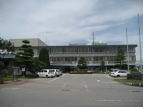 Komagane City, Komagane Shi15 km SE
-
Minamiminowa Mura Municipality, Kamiina-gun16 km NE
Nearby attractions & nature
Everything nearby-
Mount Sannosawa Mountain, Agematsu Machi2.7 km S
-
Chausu-yama Mountain, Shiojiri-shi3.4 km NE
Sources & licences
Data last updated: · 2 independent sources