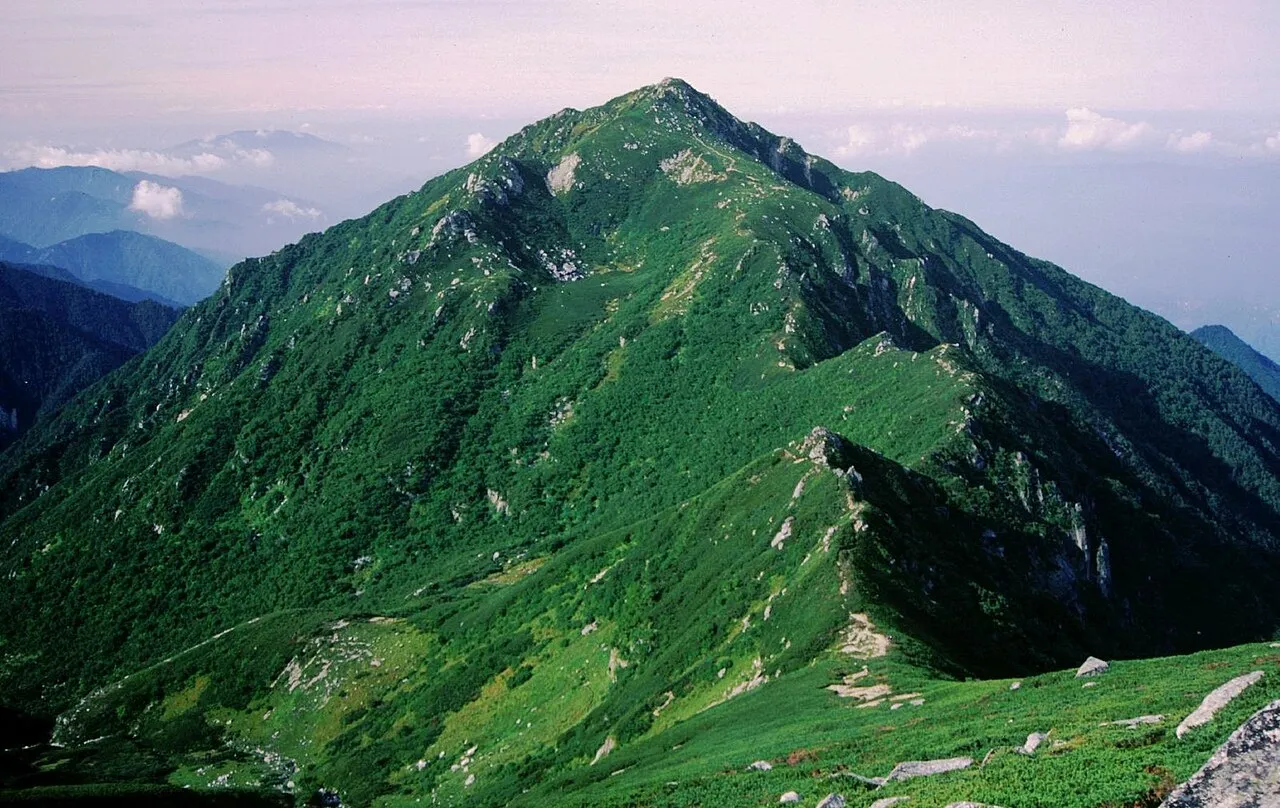
- Elevation
- 2,846 m
- above sea level
- Local time
- UTC+09:00
- Asia/Tokyo · UTC+09:00
- Airports
- MMJ Shinshu-Matsumoto Airport46 km
- NKM Nagoya Airport / JASDF Komaki Air Base97 km
About Mount Sannosawa
Mount Sannosawa is a mountain. Location: Agematsu Machi, Kiso-gun. Elevation: 2,846 m.
Mount Sannosawa (三ノ沢岳, Sannosawa-dake) is amongst the Kiso Mountains, located in the Kiso District, Nagano Prefecture, in the Chūbu region of Japan. It is 2,846 m (9,337 ft) tall. It is composed of Granite, and has a 120 m (394 ft) long 30 m (98 ft) wide cirque covered in dense vegetation, mainly pine trees. There is the "Sannosawa cirque". Glacial expansion has created a gully, just underneath the cirque. A lot of Alpine plant grow naturally.
Source: Wikipedia · CC BY-SA 4.0
Photos of Mount Sannosawa
-

Alpsdake · CC BY-SA 4.0 -

Alpsdake · CC BY-SA 4.0 -
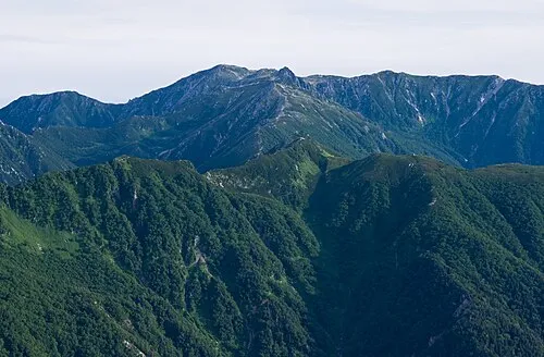
Kiso Komaga-take Σ64 · CC BY-SA 3.0


Climate of Mount Sannosawa
This month · November
A cold month
Day 0° · Night -10° · Rain 86 mm
Better nearby cities in November
- Kofu · 71 km east17°
- Fujinomiya · 96 km southeast18°
- Fuji · 105 km southeast20°
- Hottest month
- August (day 15°)
- Coldest month
- January (night -19°)
- Wettest month
- September (264 mm)
- Driest month
- December (50 mm)
Bars: average monthly low and high temperature. Below: precipitation. Monthly averages for 1970–2000 at about 18 km resolution, adjusted for elevation. Highlighted months are mild and relatively dry. Source: WorldClim 2.1 (CC BY 4.0).
Show values as a table
| Month | Jan | Feb | Mar | Apr | May | Jun | Jul | Aug | Sep | Oct | Nov | Dec |
|---|---|---|---|---|---|---|---|---|---|---|---|---|
| Average high (°C) | -9° | -8° | -5° | 2° | 7° | 10° | 14° | 15° | 11° | 5° | 0° | -6° |
| Average low (°C) | -19° | -18° | -15° | -9° | -4° | 1° | 5° | 6° | 2° | -4° | -10° | -16° |
| Precipitation (mm) | 52 | 68 | 115 | 159 | 168 | 249 | 252 | 250 | 264 | 145 | 86 | 50 |
How to get to Mount Sannosawa
The nearest airport is Shinshu-Matsumoto Airport (MMJ), 46 km to the north as the crow flies. The nearest large city is Iida, 28 km to the south.
Airports
- Shinshu-Matsumoto Airport (MMJ) Matsumoto 46 kmnorth
- Nagoya Airport / JASDF Komaki Air Base (NKM) Nagoya 97 kmsouthwest
- Toyama Kitokito Airport (TOY) Toyama 112 kmnorthwest
Nearby large cities
- Iida Population: 101.5K 28 kmsouth
- Matsumoto Population: 241.1K 54 kmnorth
- Kofu Population: 189.6K 71 kmeast
- Kani Population: 102.1K 78 kmsouthwest
- Tajimi Population: 107.8K 78 kmsouthwest
Straight-line distances; road distances are longer. Airport data: OurAirports.
Day trips from Mount Sannosawa
Within 100 km: 4 historic and cultural sites, 51 natural sites, 14 lakes, rivers and coasts.
0–25 km2 places
- Chausu-yama Mountain 6 kmNE
- Kiso Komaga-take Mountain 3 kmN
25–60 km27 places
- Honshu Island 32 kmNE
- Mount Senjō Mountain 36 kmE
- Mount Nokogiri Mountain 38 kmE
- Mount Aino Mountain 42 kmE
60–100 km40 places
- Toyota Stadium Landmark 95 kmSW
- Lake Shoji Lake 80 kmSE
- Kimpō-zan Mountain 75 kmE
- Mount Asama Mountain 97 kmNE
Straight-line distances.
Nearest towns and villages
-
 Miyada Mura Municipality, Kamiina-gun7.9 km E
-
 Agematsu Village, Agematsu Machi9.3 km W
-
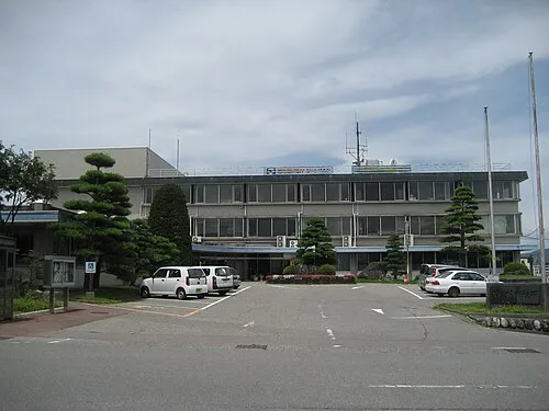 Komagane City, Komagane Shi14 km SE
-
 Ōkuwa Mura Municipality, Kiso-gun13 km SW
-
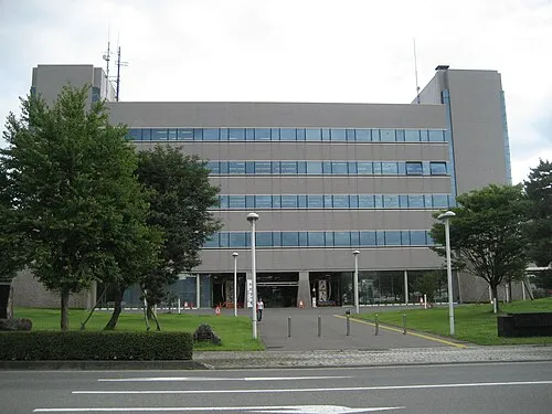 Ina City, Ina Shi16 km NE
-
Iijima Machi Municipality, Kamiina-gun13 km SE
Nearby attractions & nature
Everything nearby-
Kiso Komaga-take Mountain, Kiso Machi2.7 km N
-
Chausu-yama Mountain, Shiojiri-shi6.1 km NE
Sources & licences
Data last updated: · 2 independent sources